I like to walk along the streets. I can feel the breath of the people in the past in the scenery and buildings along the streets. However, the drawback is that it is so far away from Tokyo that it takes a lot of time and train fare to get there.
I wondered if there was any road that didn’t leave the vicinity of Tokyo, but there is, the ring road.
There seems to be a ring road from Ring 1 to Ring 8.
Okay, long term plan, let’s walk it.
However, I’ve already walked around Ring 1 and Ring 2 when I walked the Olympic marathon course the other day, so I’ll do it later.
So, I decided to start walking from Ring Route 3.
Tatsumi, Koto Ward
The starting point is Kachidoki 2-chome, Chuo-ku, and the ending point is Tatsumi 2-chome, Koto-ku, Tokyo. Either direction is fine, but I decided to go counterclockwise for the time being because the direction the athletes run in the stadium is counterclockwise.
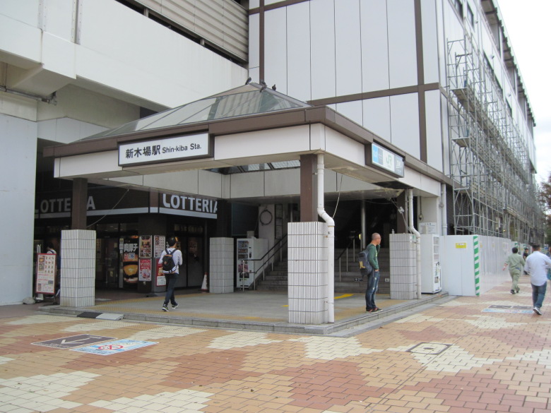
Shin-Kiba Station
I start walking from Shin-Kiba station. The closest station was Tatsumi Station, right? Oh well.
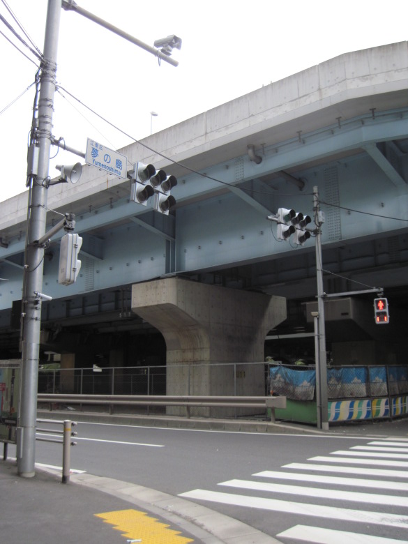
Yumenoshima Intersection
Yumenoshima is a reclaimed land. More than 50 years have already passed since the landfill was completed.
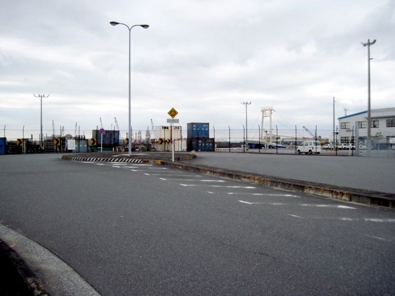
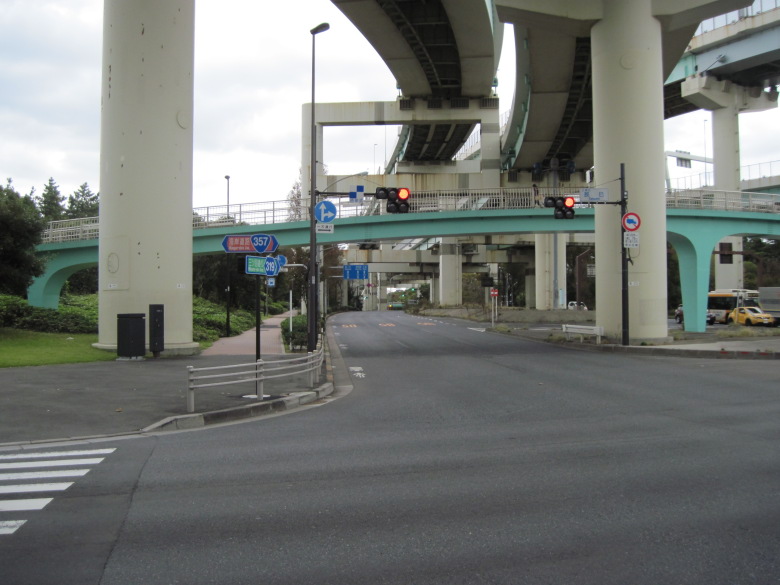
The roundabout at the end of the third ring road
The Ring Route 3 seems to start at the Tatsumi intersection. However, there was a road extending south of it, so I went to check it out just in case. It was a roundabout for cars to turn around.
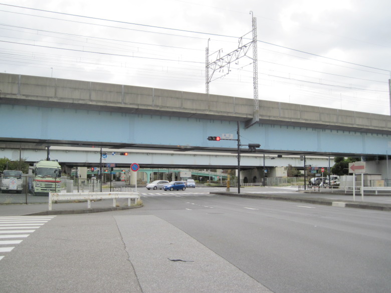
Tatsumi intersection
This is the intersection of Tatsumi. I didn’t see any sign that said “End of Ring Route 3.”
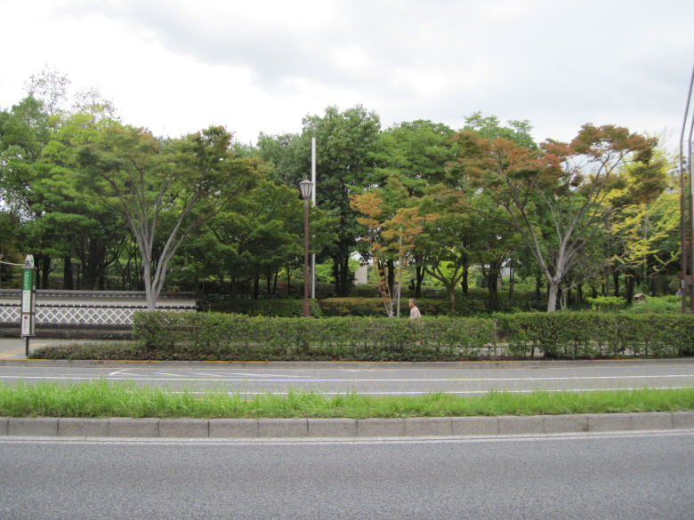
The Ring Route 3 divides the Tatsumi Forest Greenway Park
The three-lane Ring Route 3 stretches under the Metropolitan Expressway Route 9 Fukagawa Line, which branches off at Tatsumi Junction. It is also known as Mitsume Street.
On either side of the Ring Route 3 is the Tatsumi Forest Greenway Park, which is a very green area. The bridge connecting the park is elegantly curved.
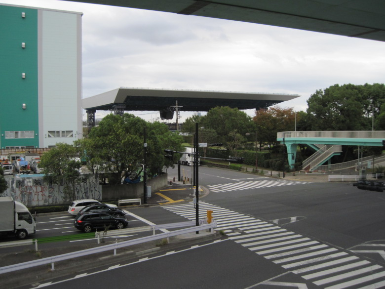
Roof of the Olympic Aquatics Center
I could see the roof of the Olympic Aquatics Center in Tatsumi no Mori Seaside Park. It is said to weigh 6,000 tons. This is where the swimming events of the Tokyo Olympics and Paralympics will be held.
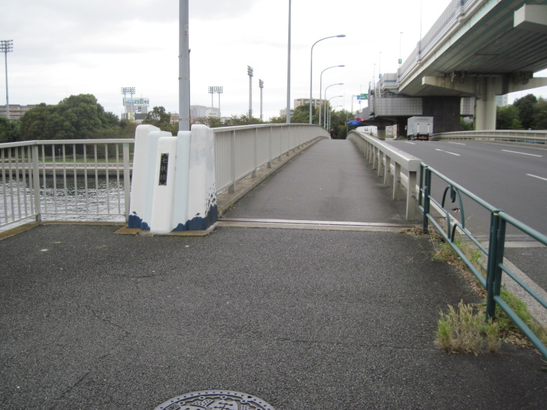
Nanae Bridge
This is the first or last bridge of the Ring Route 3, the Nanae Bridge. Below is the Shinonome Canal.

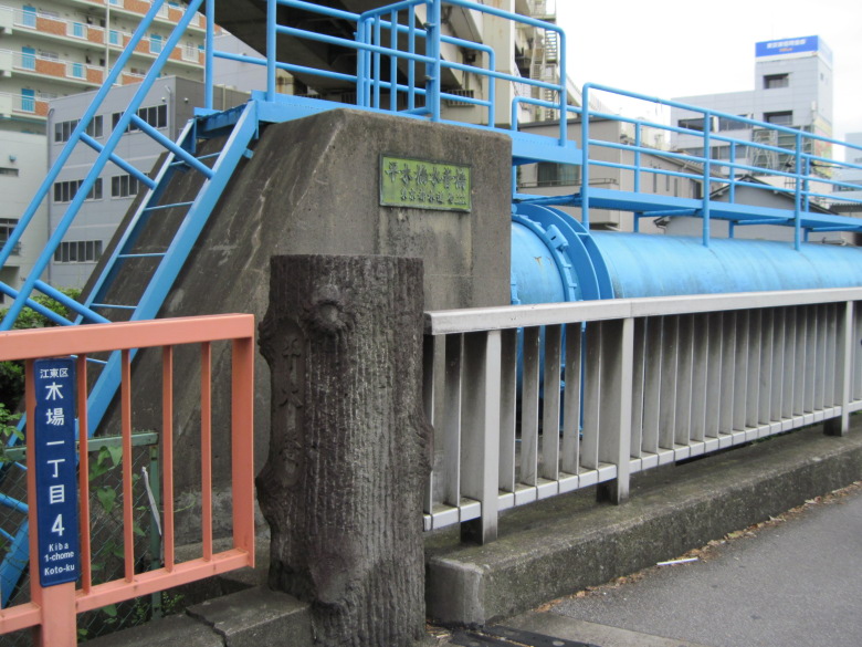
Shinonome Canal
This is the Shinonome Canal.
The canal runs horizontally and vertically in the vicinity, so I crossed the canal by bridge many times after this.
Kiba, Koto Ward
Hiraki Bridge in Kiba
I came to Kiba.
This was my first visit to Kiba. I had a faint hope that there might be a few wholesalers left that deal in lumber, but unfortunately I couldn’t find any.
Kiba Park
This is Kiba Park, built on the site of a lumberyard. It was on the other side of the road, so I didn’t stop by.
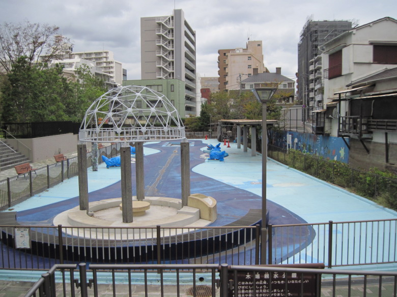
Jabu Jabu Pond in Kiba Water Park
I found Kiba Shinsui Park! I’m sure that in the past, a waterway brought trees to Kiba Park, which used to be a lumberyard. During the summer, children would probably play in this Jabu Jabu Pond, but now, in early October, it was indeed closed.
But I decided to drop by anyway.

Kiba Water Park
It was a good decision to stop by. At the end of the Jabu Jabu Pond, there was a waterway that gave us a sense of emotion. It was satisfying to see the waterfront in Kiba.
Kiba Park Bridge
Returning to Mitsume Street, I saw a magnificent cable-stayed bridge. It was the Kiba Park Bridge. It looks like it wouldn’t scare off a large truck, but it’s a bridge that connects Kiba Park across Kasai-bashi-dori, and is basically just for people to cross.

Museum of Contemporary Art Tokyo
This building is the Museum of Contemporary Art Tokyo. The museum is closed until late March 2019 for major renovation work.
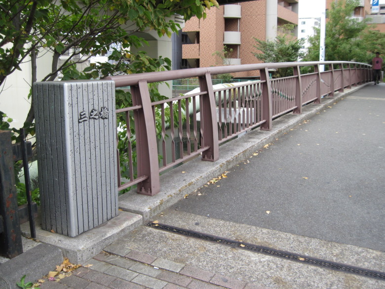
San-no (Mitsu-me) Bridge over the Tatekawa River
The name “Mitsu-me Street” comes from the fact that this bridge over the Tatekawa River is also known as Mitsu-me Bridge. I thought the main pillar was made of stone, but it was a modern bridge with a metallic sheen.
3-chome, Midori, Sumida Ward
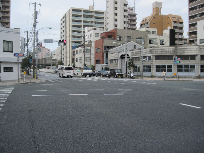
Midori 3-chome intersection
Today’s walk took me to the intersection of Midori 3-chome where the Keiyo Road (Route 14) intersects.
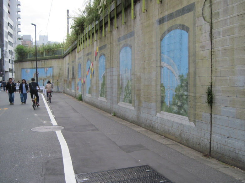
Mural at Ryogoku Station
After that, I walked to Ryogoku, and the color of this mural has faded a lot. I would like to see it repainted if possible, as I like the painting quite a bit. The bicycle parking space in front of the wall has been removed, so it’s halfway wide. Are they planning to widen the road?
Walking data
Course: JR Keiyo Line Shinkiba Station -> the Ring Route 3 (Tatsumi – Midori Sanchome) -> JR Sobu Line Ryogoku Station
Distance: 9.6km
Time: 2h21m

