
The birthplace of Japanese baseball was located at Gakushi Kaikan. A giant hand was holding a baseball.
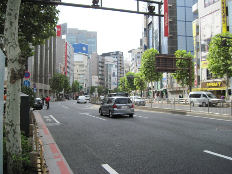
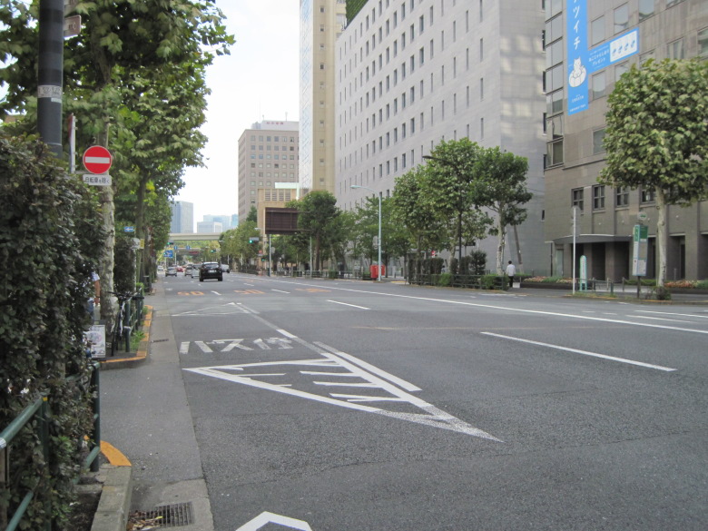
27km point
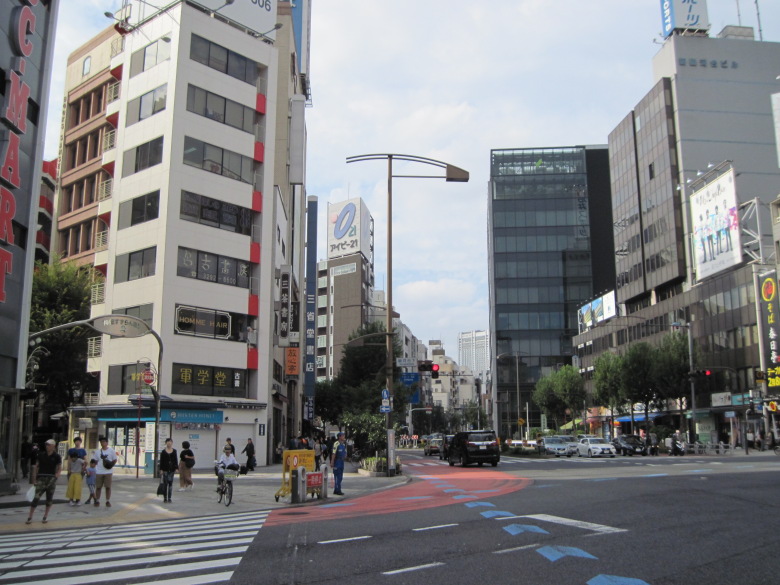
At the Ginza 4-chome intersection, I tend to look up and take a picture of the clock tower. But today, I turned my gaze downward.
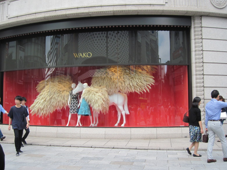
Ginza 4-chome intersection
It’s okay to sense autumn from this scene, isn’t it?
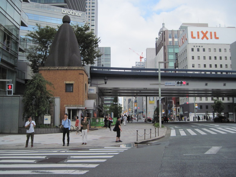
Ginza 1-chome Police Box
The upper part of the Ginza 1-chome Police Box has a distinctive shape. According to the Metropolitan Police Department’s website, it was modeled after the head of a gas lamp. Was it ever shaped like this?
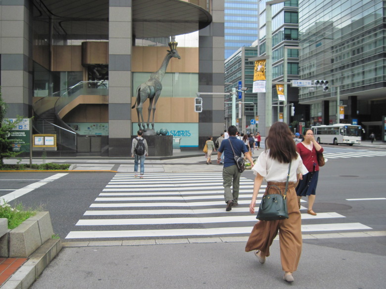
Giraffe statue at the Nihonbashi 3-chome intersection
The giraffe statue at the intersection of Nihonbashi 3-chome has been bothering me for a long time. I came close to it and looked for an explanation, but couldn’t find one. According to the blog of the Chuo City Tourism Association, the head office of Tsumura Juntendo used to be located here, and they built a statue of a giraffe, a symbol of a king in Chinese medicine.
I wonder what the marathon runners think when they see this giraffe?
Nihonbashi seen from Nihonbashi Intersection
It seems to be slightly uphill from the Nihonbashi intersection to Nihonbashi.
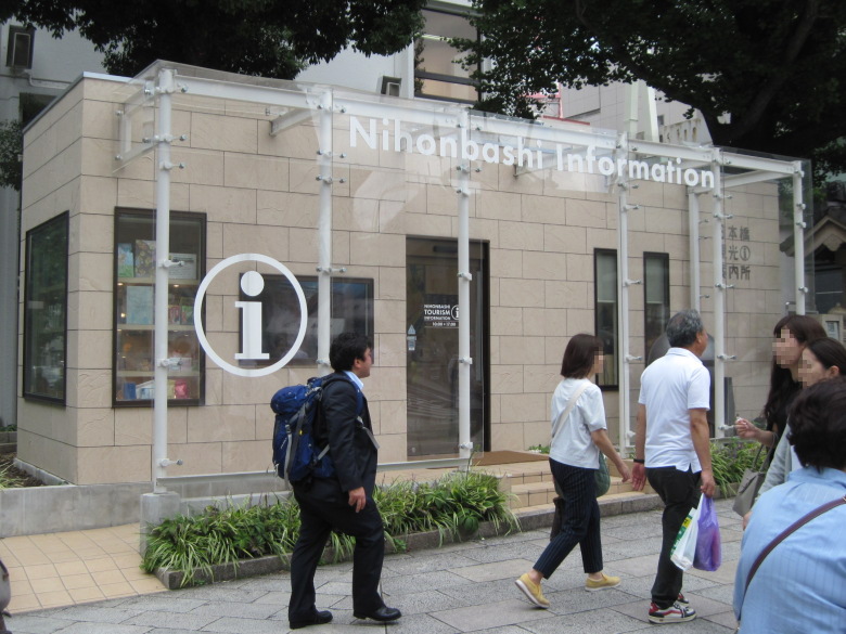
Nihonbashi Tourist Information Center
There was a Nihonbashi Tourist Information Center on the side of the bridge. It’s a recent building, isn’t it? I don’t think it was there a few years ago.
When I entered, there were staff wearing kimono, selling souvenirs and handing out pamphlets.
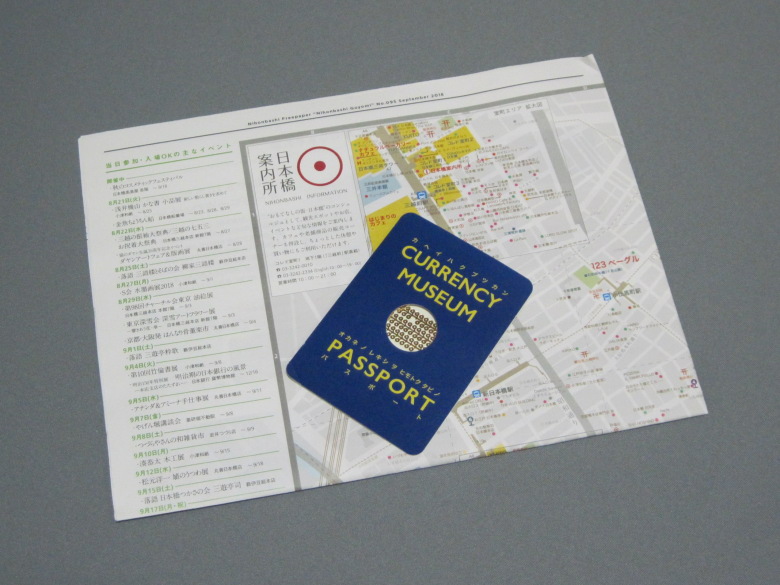
Map of the Nihonbashi area and passport to the Currency Museum
I was given a map of the Nihonbashi area and a passport to the Currency Museum.
Kanda Station straddling Nakasendo Road
From Nihonbashi to the intersection of Sudacho is Nakasendo. Was Kanda station made of glass? It looks like a Shinkansen station. I wonder if it’s a noise control measure.
Sudacho intersection
At the intersection of Sudacho, I had to make a big detour on the outward trip, but on the return trip, I could turn left almost at a right angle to enter Yasukuni-dori Avenue. The Nakasendo that we had been walking along now went straight ahead and headed toward the Kanda River, so I said goodbye here.
Yasukuni Dori bypasses the Surugadai ridge
Curve to the right to bypass the Surugadai ridge.
Surugadashita intersection
From the intersection under Surugadai, you can see the Sanseido bookstore. Kanda antiquarian bookstore district begins.
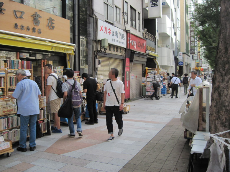
Kanda antiquarian street
Even in the age of e-books, paper books are still very popular.
Today is a national holiday, so some stores are closed.
Jimbocho intersection
Walking along the old book district, you will soon reach the Jimbocho intersection. Turn left onto Hakusan Street.
Hakusan Street
The number of people has suddenly decreased. The roadways are also relatively empty.
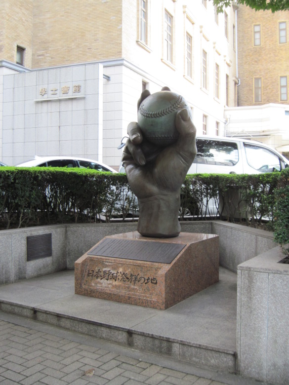
Birthplace of Japanese Baseball
Suddenly, a giant hand holding a ball appears!
According to the inscription, this is the birthplace of Japanese baseball, which began in 1872 when Horace Wilson, an American teacher at the First Junior High School of the First University District, taught his students to play baseball, which later spread throughout the country. This junior high school later became Kaisei School and then the University of Tokyo. The site is now home to Gakushi Kaikan.
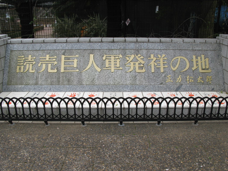
[Reference] The birthplace of the Yomiuri Giants (photo taken on March 8, 2009)
At the Yatsu Rose Garden, there used to be an amusement park called Yatsu Amusement Park. I used to enjoy Yatsu Amusement Park. But it was closed, and I was very disappointed. In fact, it was developed and dissolved into Tokyo Disneyland, wasn’t it?
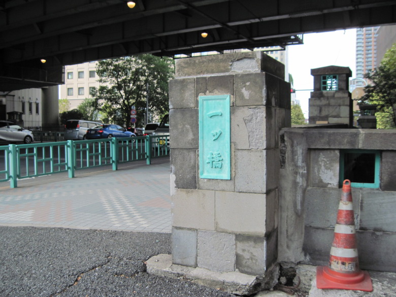
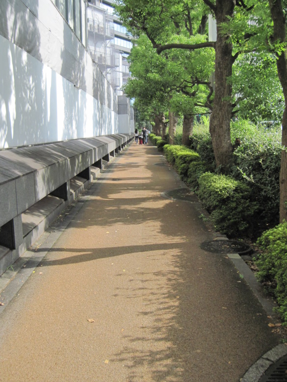
Hitotsubashi
A quiet story. The Kanda River flows by the side of the Gakushi Kaikan, and the bridge over it is Hitotsubashi. The Tokyo School of Foreign Languages was located here, which merged with the Tokyo School of Commerce in 1885 to form Hitotsubashi University.
Although the birthplaces of the University of Tokyo and Hitotsubashi University were nearby, I checked Wikipedia, thinking that the Tokyo Institute of Technology must have been founded in a remote place, and to my surprise, it says that the predecessor of the Tokyo Institute of Technology can be traced to the production school set up in Kaisei School. In other words, it’s somewhere around here. Is that true?
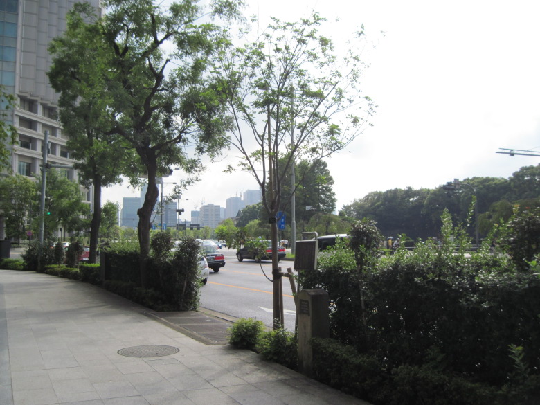
Hirakawamon intersection
About 100 meters from Hitotsubashi, you will reach the intersection of Hirakawamon.
According to feng shui, a place with the four gods is desirable for the construction of a capital, etc., and a large river (Seiryu) is needed in the east. In the past, a large river called the Hirakawa River flowed through this area, which must have played a role.
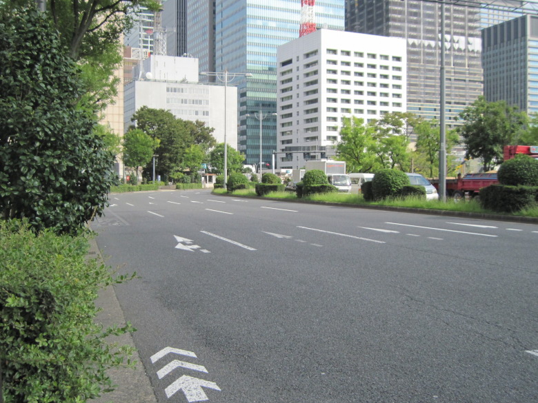
Uchibori Street
The marathon course follows the course of the original Hirakawa River, turning left at the Hirakawa Gate intersection onto Uchibori Street and following the Imperial Palace.
The building almost in front of you is the Japan Meteorological Agency, and to the right is the Tokyo Fire Department.
You can visit the Meteorological Science Museum on the first floor of the Japan Meteorological Agency without a reservation. When I visited the museum about five years ago, I remember it was interesting to see a device for observing the shape of raindrops, which was made by blowing wind from below to make raindrops float in the air. I wonder if it is possible to make such a device easily.
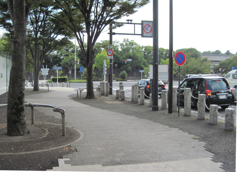
Sidewalk on Uchibori Street
The sidewalks in this area are narrow, so on the day of the marathon, it will be very crowded and you will not be able to move around.
32km point
Today’s walk was to the Otemon gate.
“The first tree in the city” sign and a Japanese pagoda tree
There is a sign here that says, “The first row of trees in the city,” and they planted a false acacia in 1875. However, the trees have now been replaced by Japanese pagoda trees. The roots of the false acacia are shallow and easy to fall over, so the first row of trees may have fallen over.
Entrance to Otemachi Subway Station
I went down from here to the subway station, but it was too far.
I should have come back from Tokyo Station.
Walking data
Course: JR Keihin Tohoku Line Yurakucho Station -> 27km point -> 32km point -> Tokyo Metro Marunouchi Line Otemachi Station
Distance: 8.2km
Time: 1h38m

