Today, I will walk in the southern direction from the intersection in front of Shinanomachi Station.
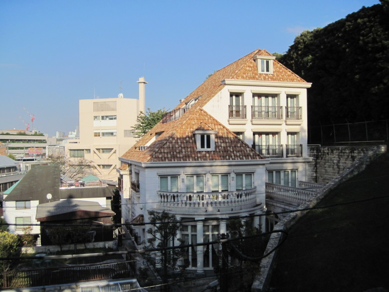
Southeast cliff of Shinanomachi Station
Until now, when I use Shinanomachi Station, I often go to Jingu Stadium or Chichibunomiya Rugby Ground, and I have never felt any particular unevenness in the land. But the southeast side of the station is a sheer cliff.
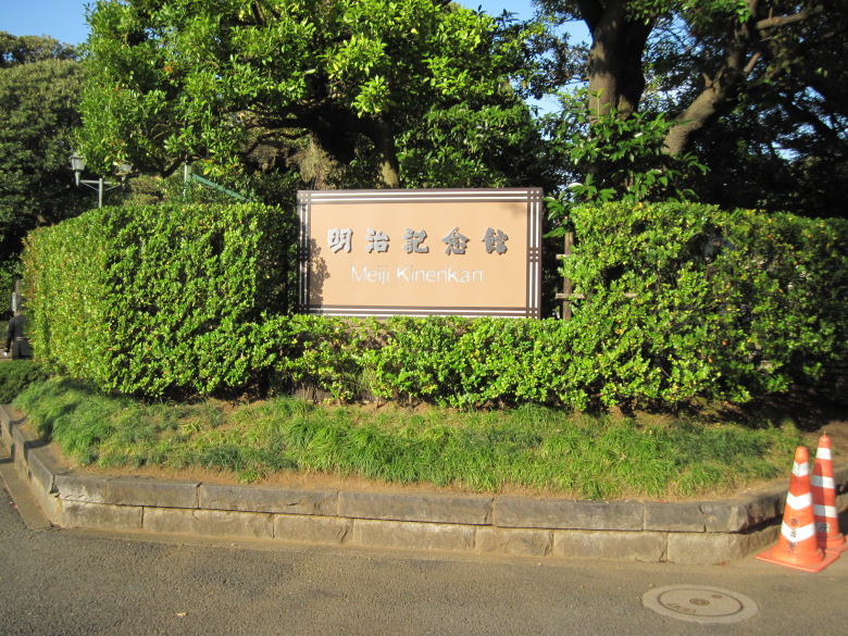
Meiji Memorial Hall
At the main gate of the Meiji Kinenkan, it said “Constitution Memorial Hall. (I did not take a picture of it because there were too many people in the way.)
It is a memorial hall, not a museum, where the Gozen Conference to discuss the draft of the Meiji Constitution was held in the main building before it was moved.
But if it is such a valuable building, I should have had a better look at the furnishings when I came here for a friend’s wedding in the past.
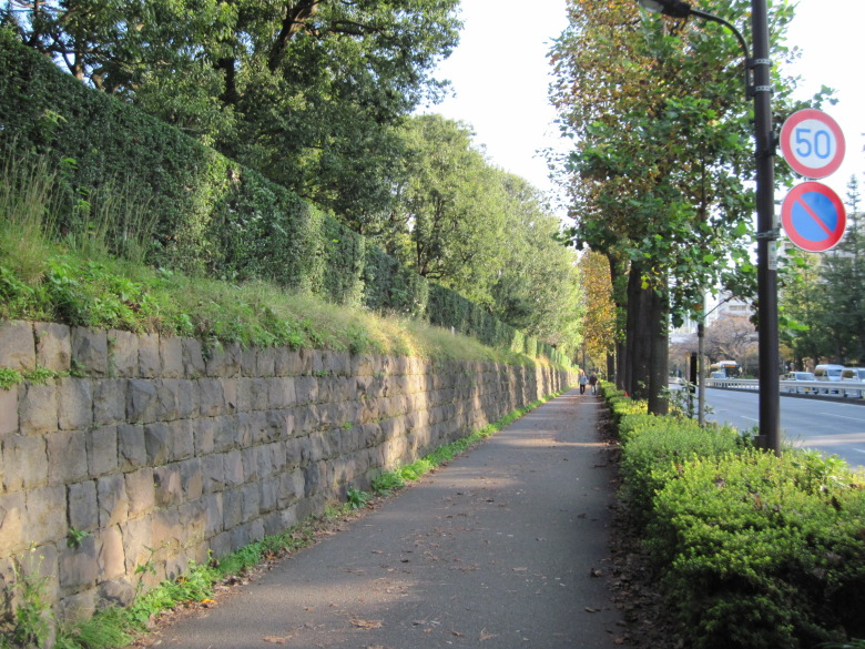
Stone Wall of the Crown Prince’s Palace
Soon it comes to the intersection of Gondahara, and after crossing it, the stone wall of the East Palace continues on the left.
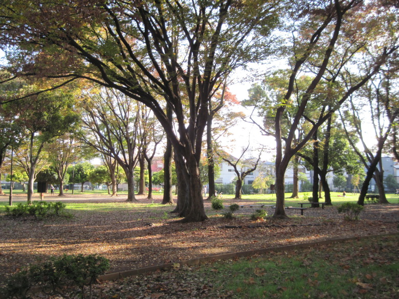
North area of metropolitan Aoyama Park
Crossing Aoyama-dori Avenue, the northern section of Tokyo Metropolitan Aoyama Park appears. It is a tranquil park with a forest of giant trees.

Automatic water quality meter with faucet
In the corner of Aoyama Park, I found an automatic water quality meter of the Tokyo Metropolitan Government’s Bureau of Waterworks!
I’m a little curious about these automatic meters. Is it because it takes up a lot of space?
According to the website of the Bureau of Waterworks of the Tokyo Metropolitan Government, the official name of these meters is “Automatic Water Quality Meter for Hydrants,” and there are 131 of them in Tokyo, measuring residual chlorine, turbidity and color, and electrical conductivity. This hydrant No. was 14.
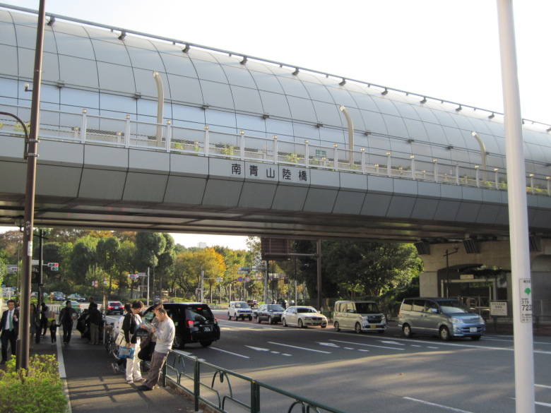
Minami Aoyama Overpass
Intersecting at the Minami-Aoyama overpass is Metropolitan Route 413 (Akasaka Suginami Line), which has a tunnel (Nogizaka Tunnel) on its left side. There is a Tokyo Metro Nogizaka station under that tunnel, and since there is an exit here, there were many people waiting for each other.
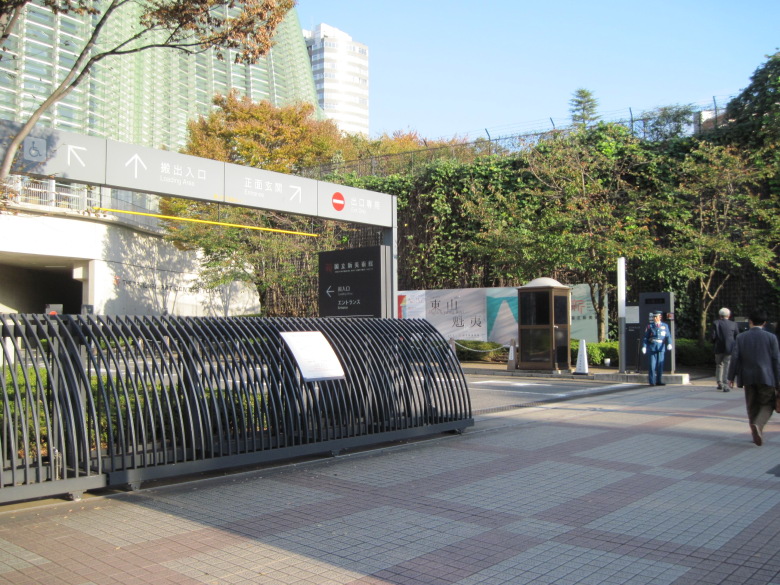
The National Art Center, Tokyo
The National Art Center, Tokyo was holding an exhibition of Higashiyama Kaii.
Unfortunately, I have never been inside the National Art Center, Tokyo because it does not have a permanent exhibition and the tickets are too expensive for me.
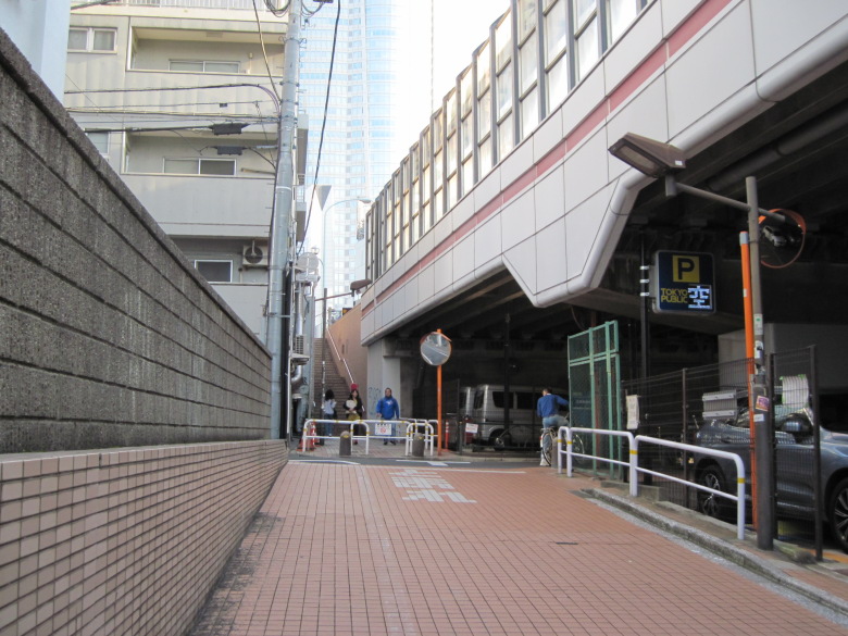
Stairs by the third ring road
After passing through the Roppongi Tunnel, the roadway and sidewalk are divided once, and this stairway is climbed.

Roppongi Hills 54-story building
At the top of the stairs stood the 54-story Roppongi Hills building.
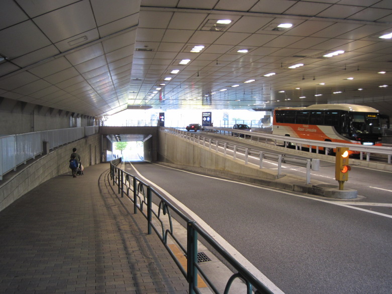
Underground passageway under the Hills
The underpass under the Hills was complex due to the slope connecting the elevation difference and the entrance to the parking lot.
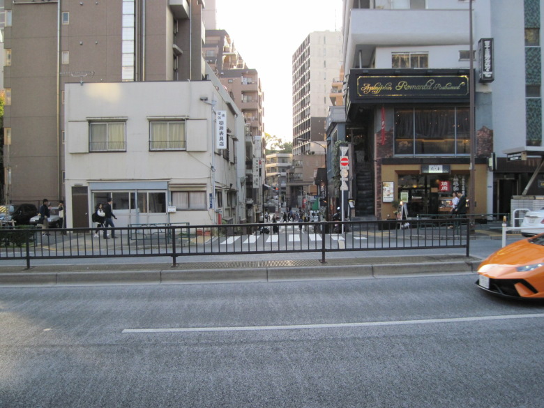
Lowland carved by the Yoshino River (Akabane River)
After passing the Hills, the right side of the road is suddenly lowered. This low area was cut by the Yoshino River (Akabane River), which is now culverted. Was it a large river? Or is it a softer geology? The Yoshino River joins the Furukawa River (Shibuya River) at Ichino Bridge near Azabu Juban Station.
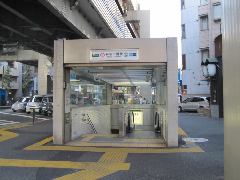
Azabu-juban Station
Today I decided to go to Azabu-juban station.
I was a little surprised that it was closer than I had expected from Shinanomachi to Roppongi.
Walking data
Course: Shinanomachi -> Loop Route 3 (Shinanomachi Ekimae – Shin-Ichinohashi Bridge) → Azabu Juban
Distance: 3.8 km
Time: 54min

