I decided to gradually resume my walks, which I had refrained from due to the Corona disaster.
The last time I walked along the Loop Road was in July 2020, so it has been one year and five months since I last walked along the Loop Road No.7.
Kamiuma
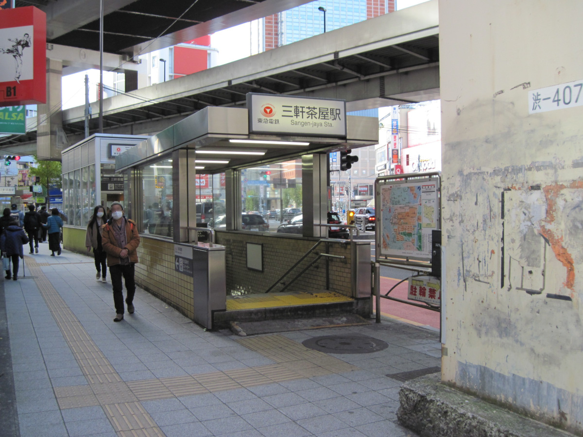
Sangenjaya Station
I got off at Sangenjaya station to continue my walk from the Kamiuma intersection.
People are walking incessantly. There are also many bicycles.
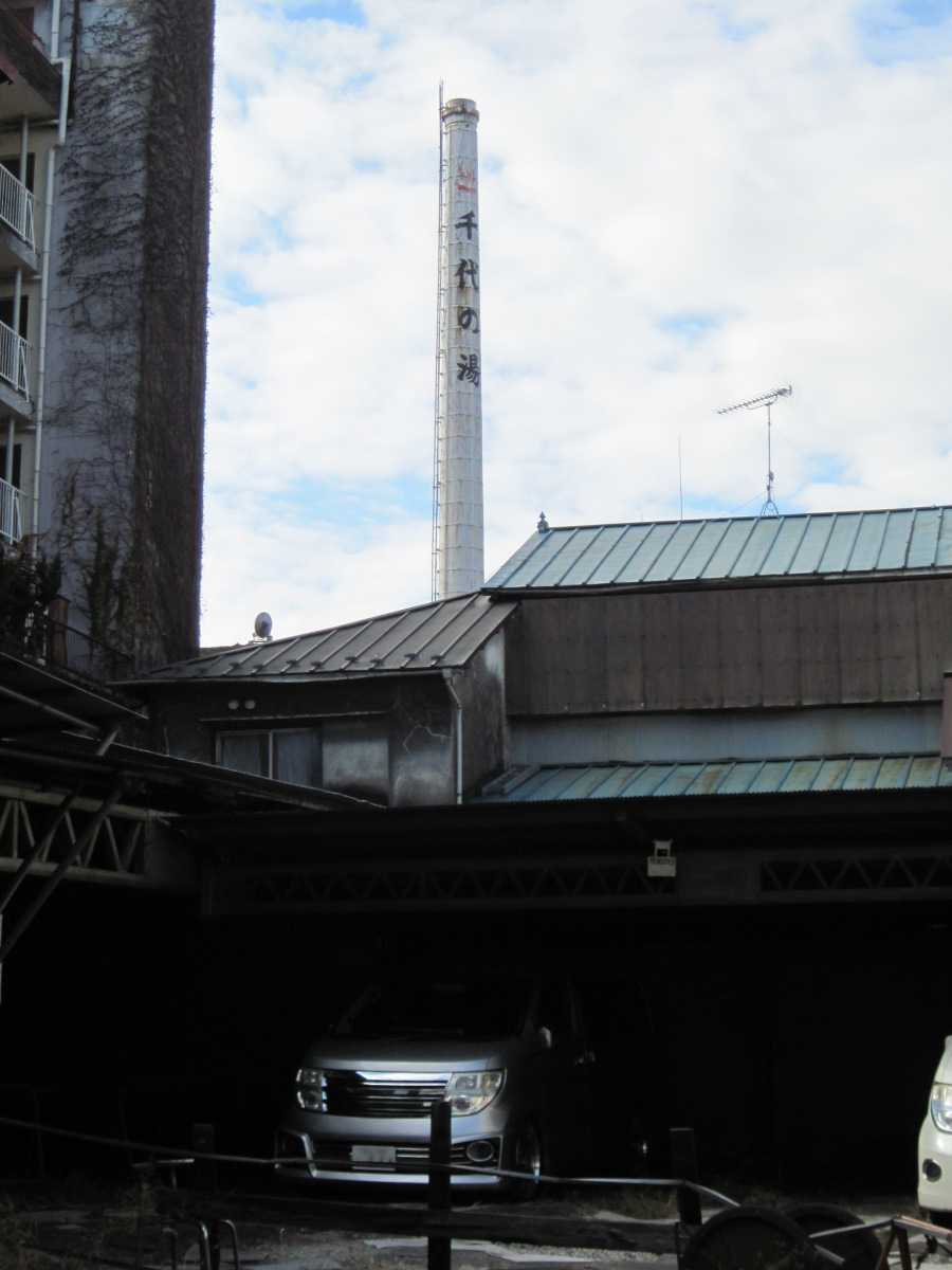
Chimney of Chiyo no Yu
The chimney of the public bath “Chiyo-no-yu” could be seen on the west side of Route 246 (Tamagawa-dori). It is a sign of many residents, including many bicycles.
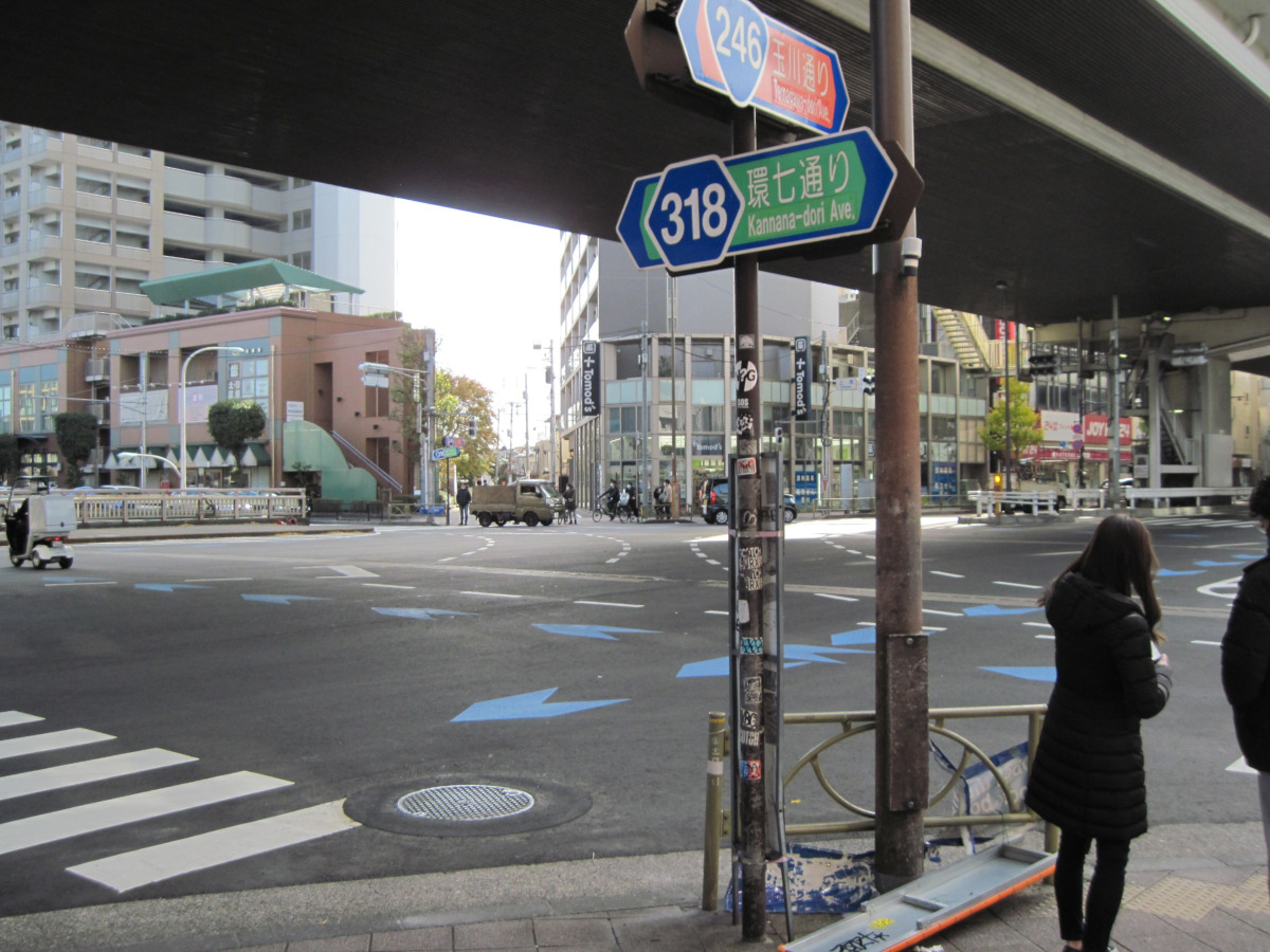
Kamiuma Intersection
This is the Kamiuma intersection, the point where I finished my last walk. It has been so long that I hardly remember it.
Kakinokizaka slope
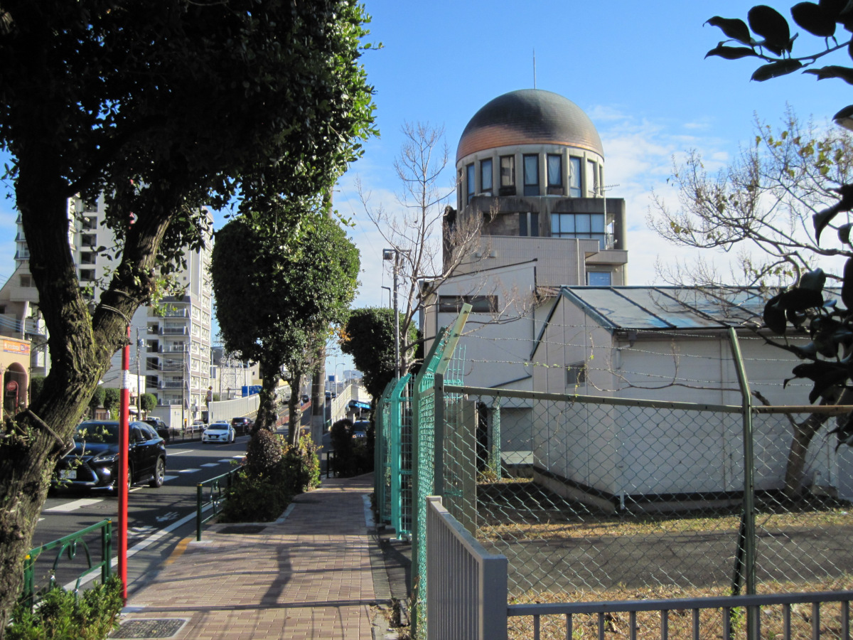
Kakinokizaka Dome Building
Found the dome a little before the Komazawa overpass! When I see a building shaped like this, I end up taking a picture of it.
It looks like a rental office called Kakinokizaka Dome Building.
The rooms directly under the dome must have a great view.
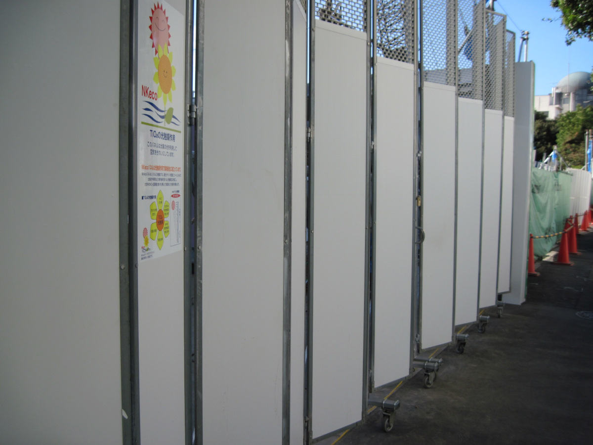
Panels with photocatalytic action
A special panel was used at a construction site just beyond the Komazawa overpass intersection.
They use the photocatalytic action of TiO2 (titanium dioxide) to decompose NOX (nitrogen oxides) and deodorize.
The panels at the construction site can cover a large area and do not use much energy to operate, so if they are effective, I would like to see their use spread further.
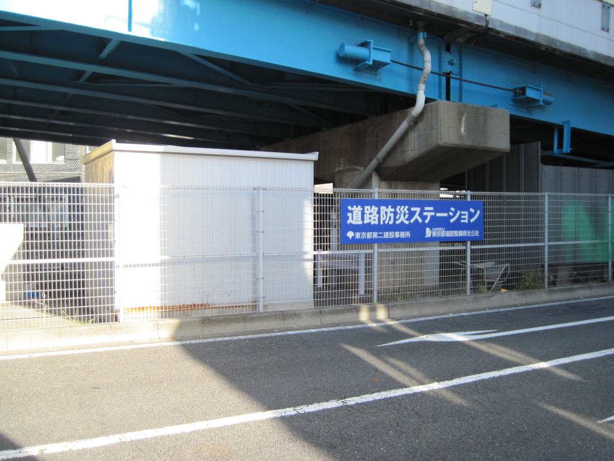
Road Disaster Prevention Station
There was also a road disaster prevention station under the Komazawa overpass.
(It is said that this is a place to store materials for promptly carrying out road opening (keikai) work in case of an earthquake directly under the Tokyo metropolitan area, etc*). Since I could not get close to the station, I did not know exactly what was placed there.

Kakinokizaka with a straight line of slopes
On the west side of Kannana, the slope continued in a straight line. The valley is culverted and seems to be upstream of the Nomigawa River, which flows around Kamata.
The elevation of Kannana is about 35 meters and the elevation of the valley is about 28 meters, so the difference in elevation is about 7 meters on the map, but it appears to be much deeper. It is straight all the way down, so if you roll the ball, it will probably go all the way down.
Senzoku
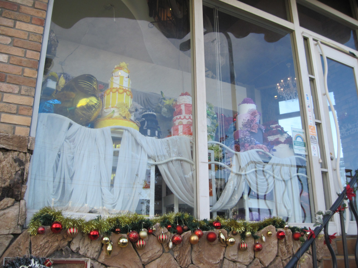
Christmas mood display
The city is already in a Christmas mood.
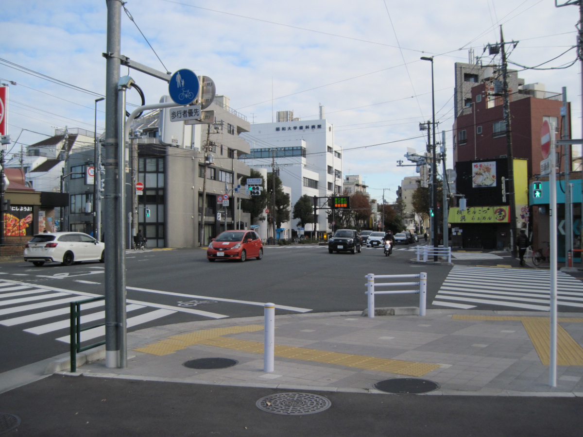
Kita-Senzoku five-way intersection
Since I had not walked for a long time and was not accustomed to walking, I decided not to push myself too hard and decided to take today’s walk to the Kita-Senzoku five-way intersection.
The Showa University Dental Hospital is located here.
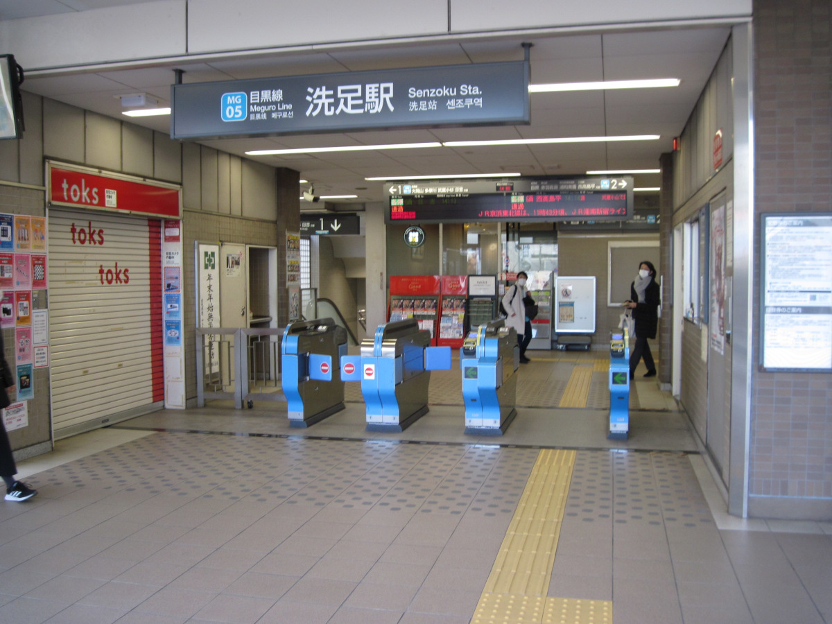
Senzoku Station
It is not far from the five-way intersection to Senzoku Station, but the entrance was a bit confusing.
Walking data
Course: Tokyu Denentoshi Line Sangenjaya Station -> Loop Route 7 (Kamiuma – Kita Senzoku 5-junction) -> Tokyu Meguro Line Senzoku Station
Distance: 6.0 km
Time: 1h28m
※)https://www.metro.tokyo.lg.jp/INET/OSHIRASE/2016/03/DATA/20q3se01.pdf

