
I started walking along the Shakujii River and found Shakujii Park nearby. While I was going around at will, the rain got heavier, so I ended up taking a walk in Shakujii Park.
During my walk, I found the AMeDAS Nerima station. I’m sure that’s where they got the data on today’s rain.
Shakujii River
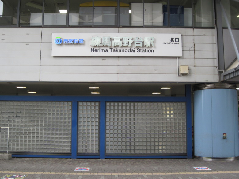
Nerima-Takanodai Station (North Exit)
Today, I started walking from Nerima-Takanodai Station on the Seibu-Ikebukuro Line, along the Shakujii River, planning to end up at Musashiseki Station on the Seibu-Shinjuku Line.
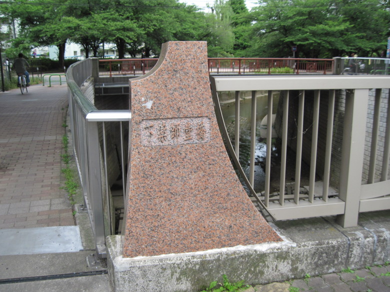
Shimoyakushido Bridge
Walking from Nerima-Takanodai Station along the Seibu Line toward Ikebukuro, you will soon come to Shimoyakushido Bridge.
The design of this bridge is hemmed in, so is it a mountain? Is it Mt. Fuji, since the station ahead is Fujimidai?
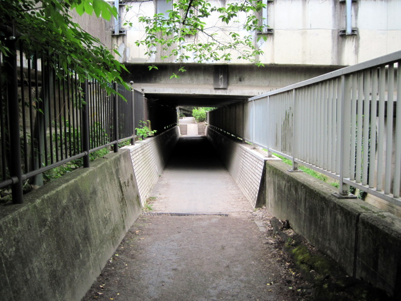
Passage under Sasame Street
I pass under Sasame Street.
The passageway has been lowered so that people can walk standing up, but the concrete embankment on the river side is kept at the same height as the top of the stairs you can see over there.
Well, I guess it’s natural because we don’t want the water to overflow from here.
There is also an embankment on the left side of the passage, which seems to be slightly higher. Is it designed to become a pool when the water level is subtle? Regardless, I hope that the water will not overflow the embankment on the river side, no matter how heavy the rain.
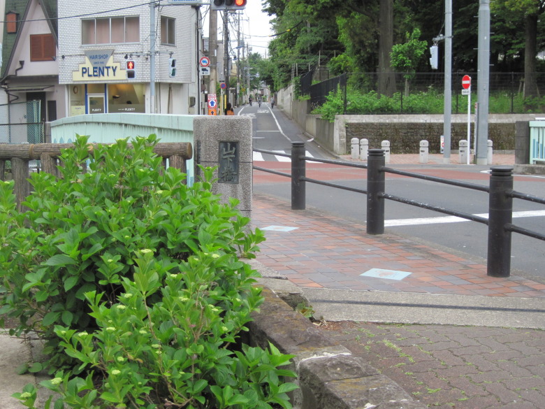
Yamashita Bridge
I came to Yamashita Bridge.
Should I continue walking along the Shakujii River, or should I take a detour to see Shakujii Park?
Shakujii Park
Since I was not in a hurry to travel, I decided to visit Shakujii Park.
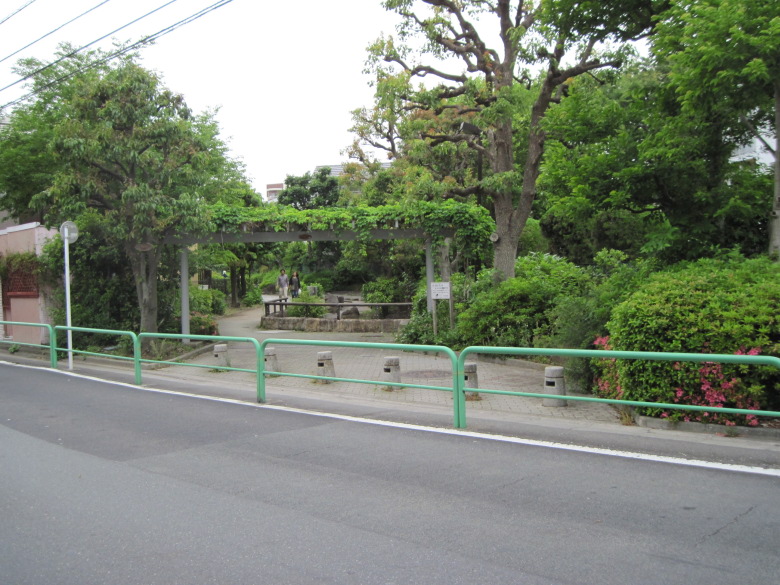
Wadabori Green Area
To get to Shakujii Park, I pass through the Wadabori Green Area.
Although there is a stream channel, no water is flowing now.
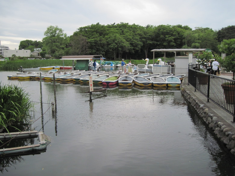
Boat at Shakujii Pond
We came upon Shakujii Pond in Shakujii Park.
There are many different types of boats floating around.
If you choose a leg-rowing boat, I recommend the shorter one on the far left, not the swan type. I’ve never been in one, but…
In Shakujii Pond, there is a route where you can go under the stone bridge by boat, but the swan-shaped boat seems to be too high to go under.
I decided to take a lap around Shakujii Park.
Actually, I had passed through Shakujii Park when I was passing by two years ago. At that time, I had felt that it was a wonderful park, with its abundance of trees, water, and steps. Today, I decided to go around in a counterclockwise direction in search of more attractions.
Walking along the north side of Shakujii Pond along the pond, I saw a row of mansions on my right.
On the left side of the pond, adults are playing gracefully, fishing for hera-crucian and steering a radio-controlled boat.
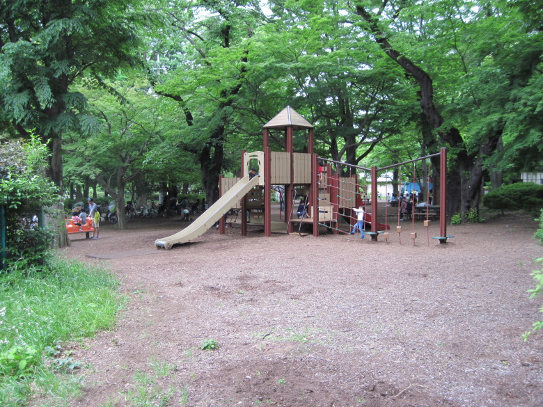
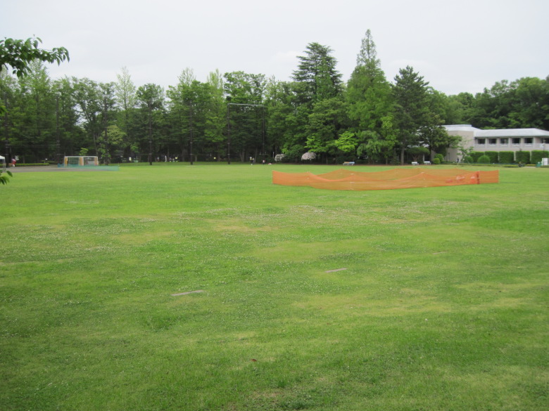
Athletic Plaza
When the pond ends and you cross Igusa Street, there is an athletic plaza where children are playing energetically.
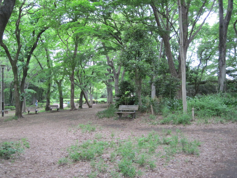
Paths for a calm walk
Some of the streets are less crowded and you can walk around calmly.
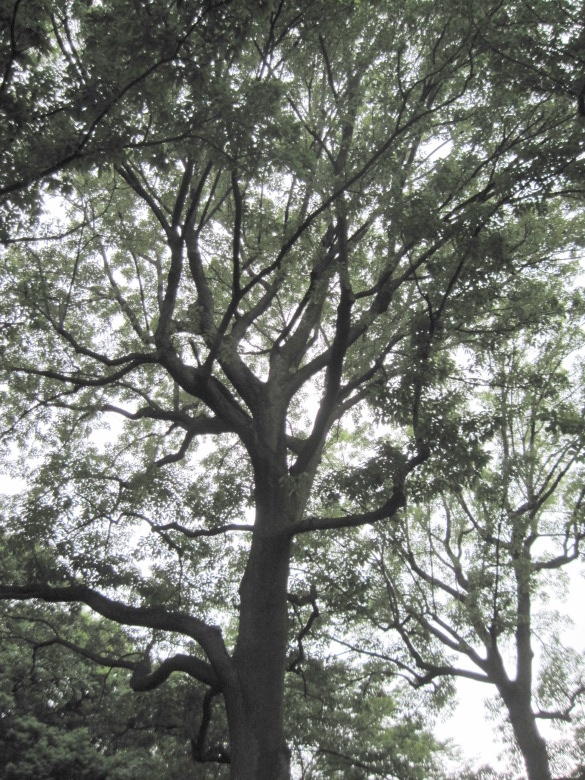
Sawtooth oak, a famous tree in Nerima
There are many famous trees in Nerima, such as this 22-meter tall sawtooth oak.
Multi-purpose plaza at Shakujii Matsu-no-kaze Cultural Park
There is also a plaza. However, this park is technically called Nerima City Shakujii Matsu-no-kaze Cultural Park.
AMeDAS Nerima Observatory
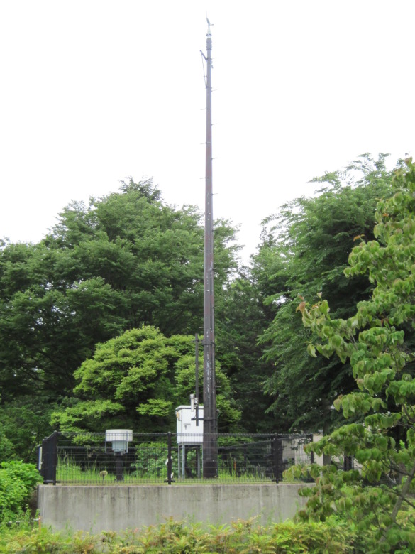
AMeDAS Nerima Observatory
At the west end of the Matsu-no-kaze Cultural Park, I found the AMeDAS Nerima Observatory (Nerima Regional Meteorological Observatory)!
It says that temperature, wind direction, wind speed, precipitation, and sunshine hours are observed here. I see, there is a tall pillar for measuring wind direction and speed.
However, there were no such pillars at the stalls I saw in Kitanomaru Park the other day. Is there no need to collect data on wind direction and speed in the vicinity of Kitanomaru Park? On the other hand, is there no need to measure humidity and snow cover, which were measured at the stalls in Kitanomaru Park? Why don’t we measure the same items uniformly in all the stalls?
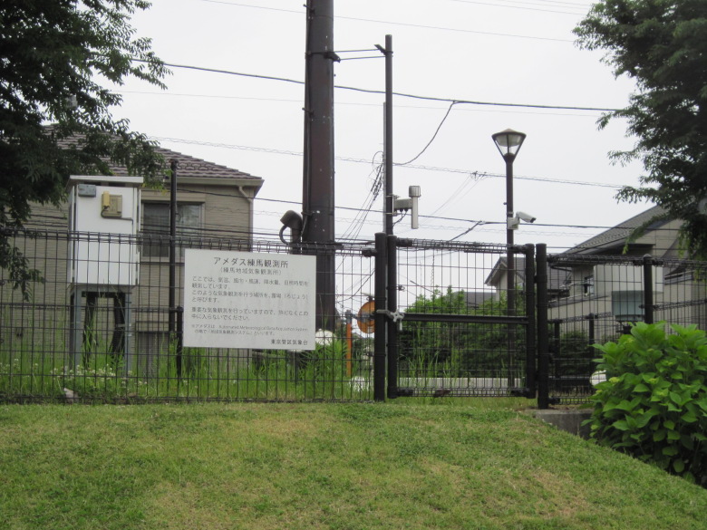
I can’t get any closer
Questions aside, the most disappointing thing was that there was a fence and I couldn’t get close to it.
Sanpoji Pond
Stairs leading down to Sanpoji Pond
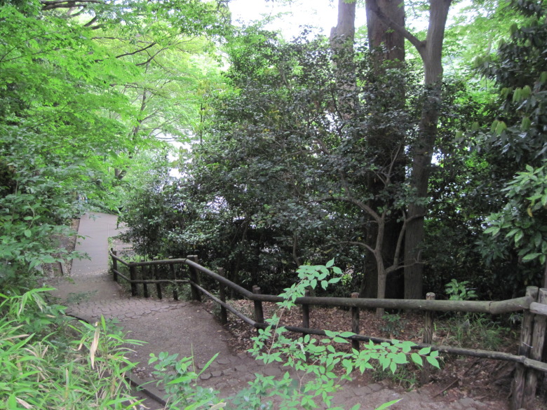
Back in the park, there are steps leading down to Sanpoji Pond. The difference in the steps gives the scenery an intonation that makes for a pleasant walk. However, the climb is tiring.
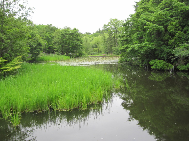
Sanpoji Pond
The view of Sanpoji Pond is quaint with its diversity of trees. With no power lines in sight, it is easy to forget that you are in the 23 wards of Tokyo. If the water were a little clearer, it would be perfect.
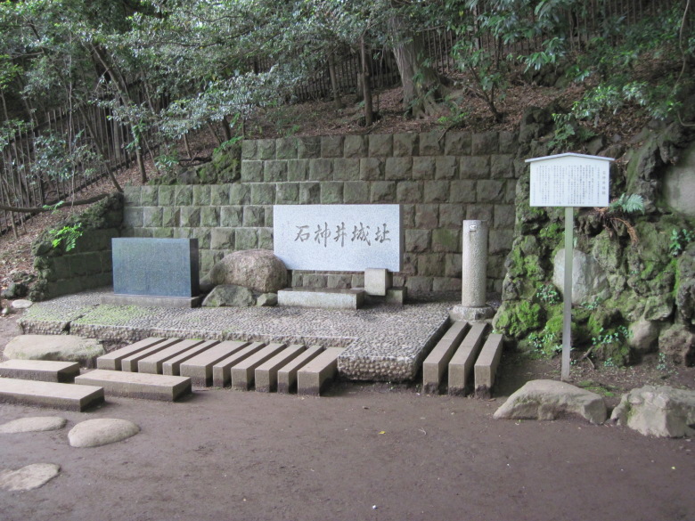
Monument at the site of Shakujii Castle
We found a monument at the site of Shakujii Castle. This was the residence of the Toshima clan, a member of the Chichibu Taira clan, but the castle was attacked by Ota Dokan in 1477 and fell.
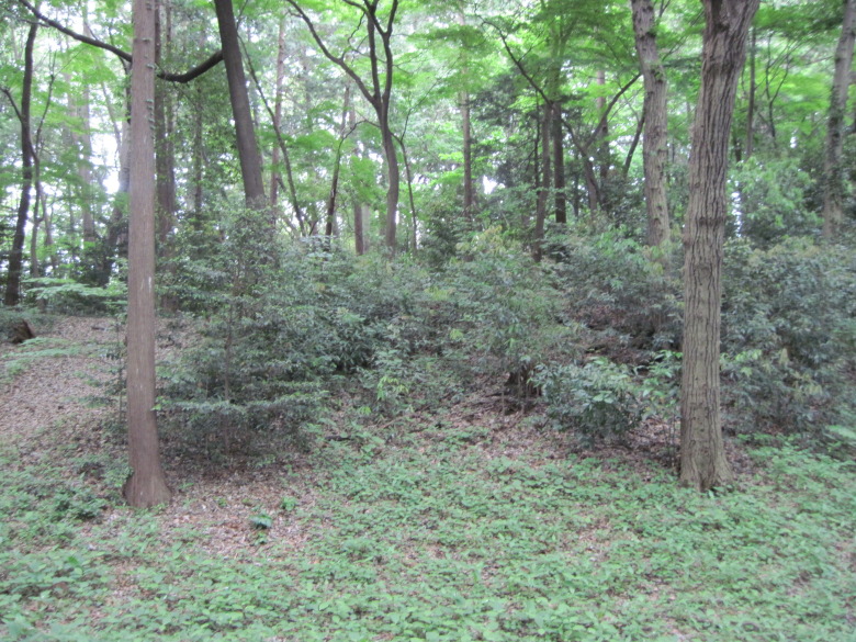
Ruins of the main wall of Shakujii Castle
This is the site of the main wall of Shakujii Castle. But when you take a picture of it, it looks like a simple forest.。
Ikenyuchi Historic Park
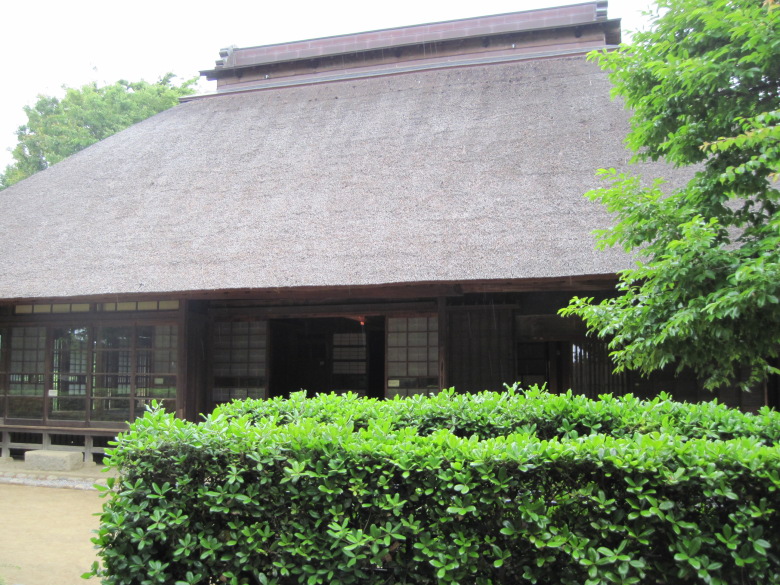
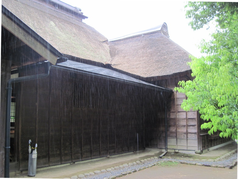
Former Uchida Residence
Crossing Igusa Street in the opposite direction, we came to the Nerima Ward Ikebuchi Historic Park. Inside the park, there is the former Uchida Residence, which is designated as a cultural asset by Nerima Ward, so I went to visit it. The tour is free of charge.
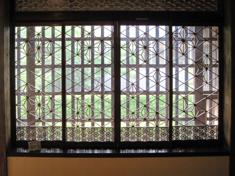
Openwork
The former Uchida family residence is said to be a house of a master. The interior is in the style of Shoin-zukuri, with openwork everywhere that looks like something you would see in Wafu Sohonke.
There was a staff member there, so I asked him about the highlights. I was able to remember the following three points.
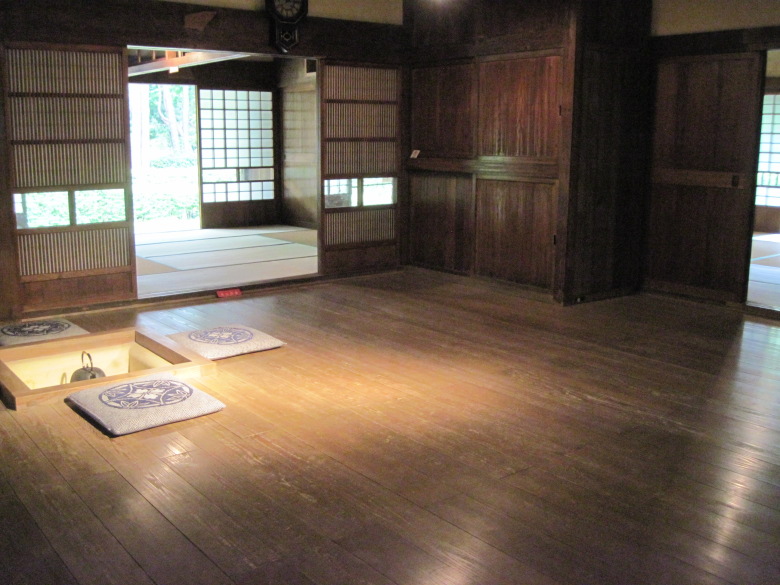
The floor plan is in the shape of a rice paddy (the Nagashiki is a zelkova tree)
(1) The layout is in the shape of a rice paddy, which is typical of old houses in Musashino (in the former Uchida family house, three rooms are tatami mats and one room is a wooden floor).
(2) The right materials are placed in the right places, such as cedar for the pillars, zelkova for the main pillars and nageshi, and pine for the beams.
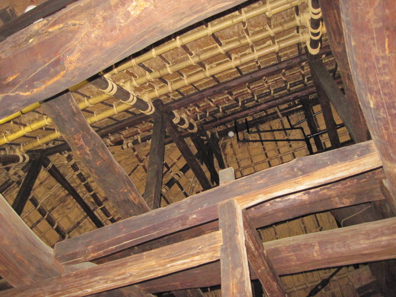
Vaulted ceiling (beams are pine)
(3) Vaulted ceilings.
It’s starting to rain harder
When I went outside, the rain was getting heavier.
It’s time for the AMeDAS to come out. It looks like people should go home early.
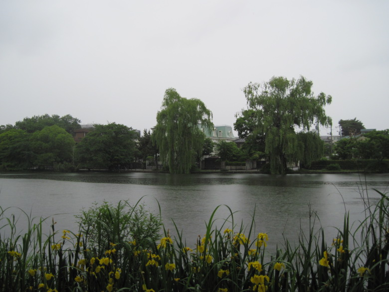
Shakujii Pond
As I walked south of Shakujii Pond, yellow iris bloomed in the foreground and the aforementioned mansion was hidden from view on the other side of the pond. Too bad the color of the photo is not good.
Memorial garden
Since I had almost circled the park, I decided to head for the station.
Shakujii-Koen Station on the Seibu-Ikebukuro Line is the closest station, but I decided to save it as the starting station for my next walk. The next closest station is Nerima Kounodai. But it’s no fun to go back to the starting point. So I decided to head to Kamiigusa Station on the Seibu Shinjuku Line.
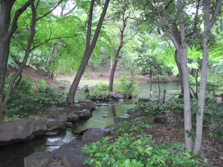
Memorial Garden
Then I found a place called the Memorial Garden. It was said to commemorate the Second Toyoda Garden, which was opened in the Taisho era by a man named Ginnemon Toyoda. The garden was so serene and beautiful that I had no doubt that it was the waterfront we had reached after a two-hour climb up a mountain trail.
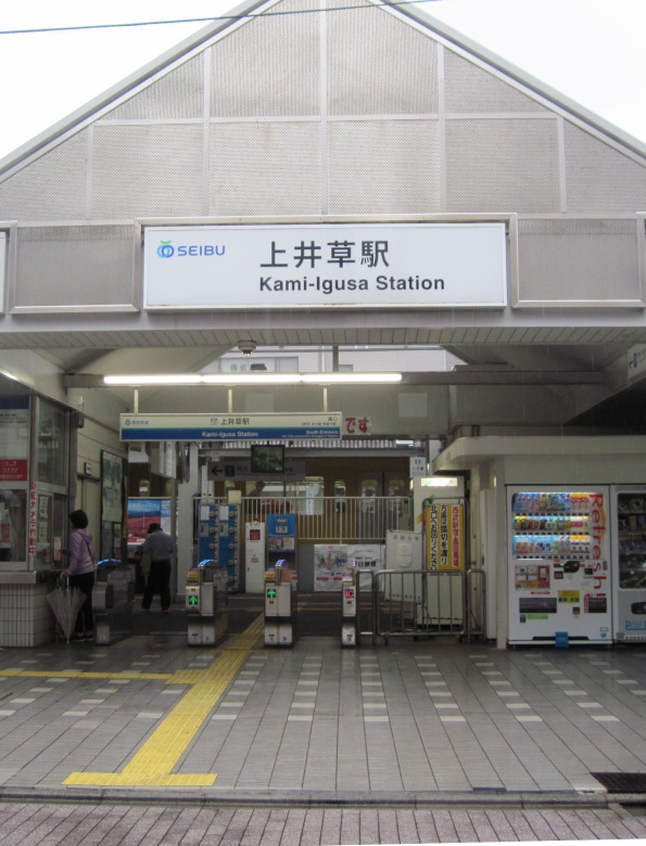
Kamiigusa station
After that, it was hard to concentrate in the rain and I arrived at Kamiigusa station without finding anything interesting.
Walking data
Course: Nerima-Takanodai Station on the Seibu-Ikebukuro Line -> Shakujii River -> Shakujii Park -> Kamiigusa Station on the Seibu-Shinjuku Line
Distance: 7.6km
Time: 2h23m


コメント