Found the construction site of the Fourth Ring Road! Construction was steadily progressing toward the opening!
Count Ogasawara’s Residence and Seishun Publishing House
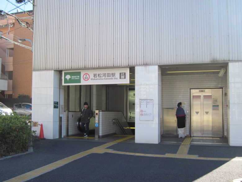
Wakamatsukawada station
Near the Wakamatsu Kawadacho station ticket gates, I looked at the map to find the exit to the ground level, and found two interesting places in the neighborhood.
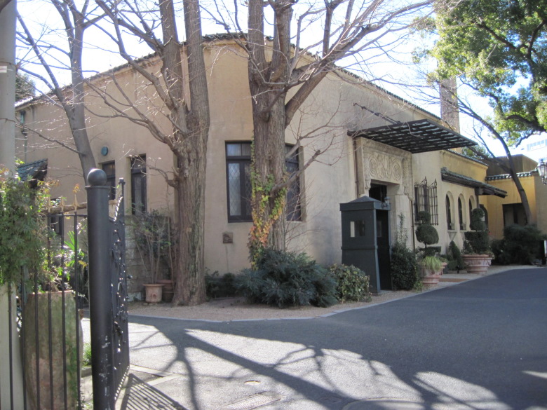
Count Ogasawara’s residence
One of them is here. It is the residence of Count Ogasawara.
Now it seems to be a Spanish restaurant. I’d like to come next time. I wonder if the dress code is just a normal suit.
I heard that a one-story house is a luxury, but as far as I can see from here, it is a one-story house. It is indeed a count’s residence. Has the sentry house (shosha) been standing since then? It was surrounded by a wall.
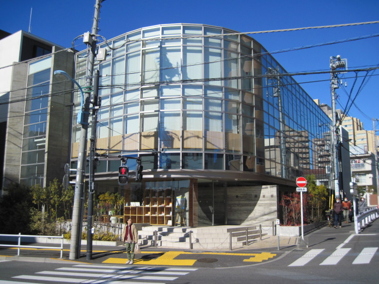
Seishun Publishing Company
Here is another one. This is the publishing company that helped me when I was in high school. There is no ostentatious sign. Can you recognize it?
Yes, it is Seishun Publishing Company. All of my classmates at that time had a copy of “Shiken ni deru Eitango” (English vocabulary for examinations). I miss it so much.
Found the construction site of the Fourth Ring Road!

Ring Road 4 construction site
I turned my foot to the Nukebenten intersection to continue walking where I had walked last week, and that is when I found it. It is the construction site of the Ring Route 4.
Why didn’t I see it last week? But since I was able to find it today, oh well.
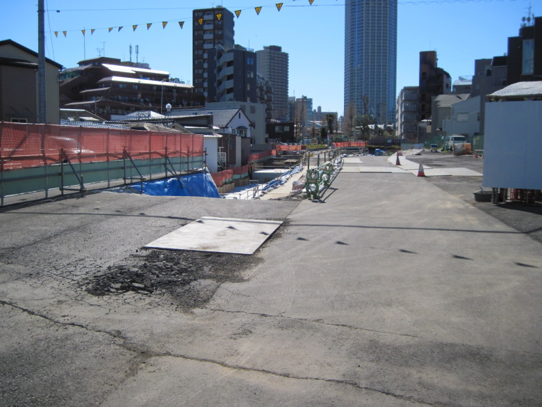
Holes dug to build retaining walls
A little further on, I found a place where they were digging quite deep. Wow, ruins! I thought it was, but it was not. It seemed that there would be a difference in elevation due to road construction, and it was for the purpose of building a retaining wall in a section on the east side.
It said that the construction period would last until late July, 2019, so it will be completed in six months.
The road does not follow the road under construction, so I had to zigzag my way through.
Just when I was off to the west, I took a detour.
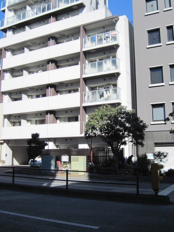
Former residence of Tsubouchi Shoyo
That is what I am talking about here. It is an ordinary apartment building. Do you see the sign facing away from you by the fire extinguisher on the street in front of the condominium? On it is written “Former Residence of Tsubouchi Shoyo”. Shoyo” means “walk. I thought it was a place I should visit at least once as a topic for my walking blog, so I decided to come here.
However, even though I knew the name of Tsubouchi Shoyo, I did not know what he did. According to the sign, he was a translator of Shakespeare, researcher of plays, and a teacher at Waseda University. So that is why Waseda University has a theater museum. While the University of Tokyo, Meiji University, and Tokyo University of Science have museums that look like museums, I had always wondered why Waseda University owned a museum in such an unusual field as theater. I think I now understand the reason for this.
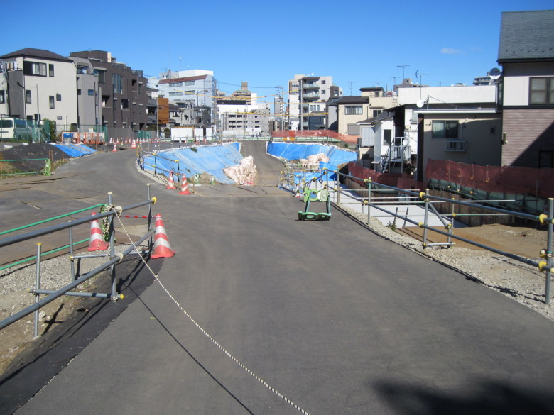
Construction site of the long stretch of the Ring Road 4.
The construction site of the Fourth Ring Road continues.
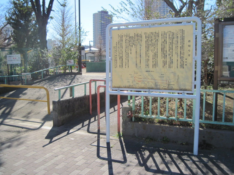
Yochocho children’s playground and signage announcing land acquisition
The Yochomachi children’s playground on the left side of this photo is also a planned construction site and will soon be turned into a road.
The sign on the right is a notice that land will be acquired for the Loop Route 4. From the text, it seems to have been erected in 2011 when the project was approved. It is a long or short period of time.
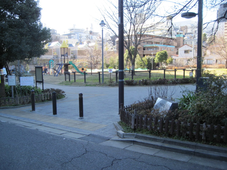
Tomihisa Sakura Park
Tomihisa Sakura Park is just barely not on the road and is likely to remain.
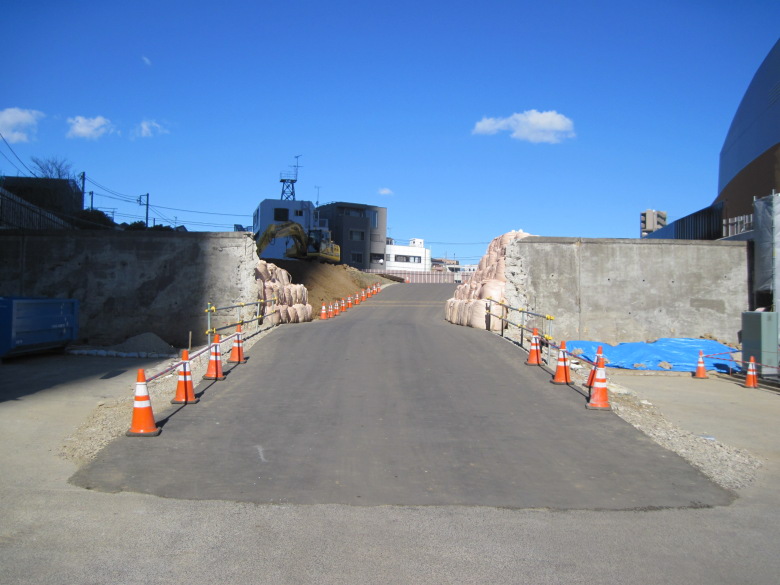
Photo looking north from the intersection where the road under construction will connect
Here is a photo looking north from the intersection where the road under construction will connect. Aside from the numerous sandbags, what is the fence for? I am also a bit concerned about whether it will be used as is or torn down.
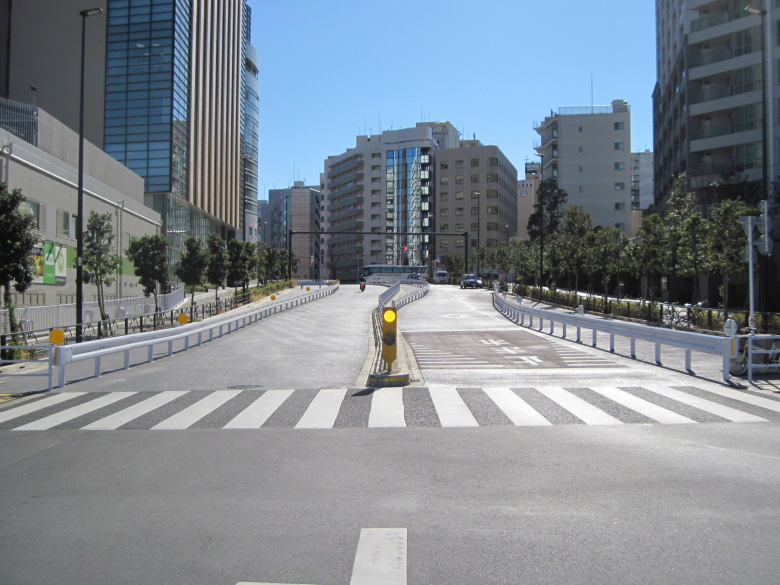
Photo taken towards the Tomihisacho West intersection
And here is a photo taken from the same intersection, looking south toward the Tomihisaicho Nishi intersection. It looks like it has just been completed and is very shiny.
Part of the Fourth Ring Road will be used as a marathon course for the Olympics!
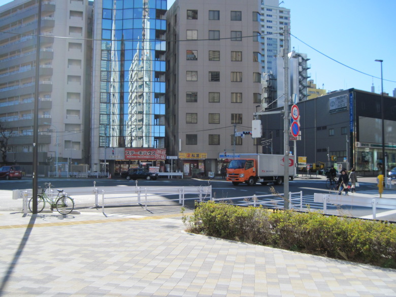
Tomikucho West intersection
Tomikucho Nishi intersection is located about 130 meters from there. I remember coming here last year when I previewed the marathon course for the Tokyo Olympics. From this intersection, I will follow the same route as the marathon course to the New National Stadium.
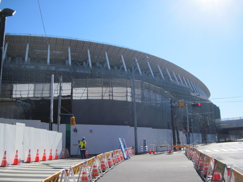
New National Stadium
The top of the new National Stadium was almost complete and the nets had been removed.
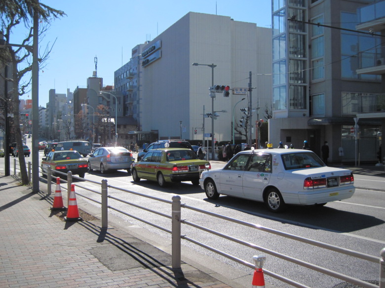
Senjuin intersection
At the intersection of Senjuin, the route leaves the marathon course preview route.
The Loop Route 4 (=Tokyo Route 418) in this area runs through the remains of the Ondengawa (Shibuya River), which is fed by the spring water from Shinjuku Gyoen and the Tamagawa Josui (Tamagawa Waterworks).
The Loop Route 4 follows the traces of the Onden and Kougai Rivers!
About 400 meters from the intersection of Senjuin, a Harajuku overpass was built to connect the left and right elevations.
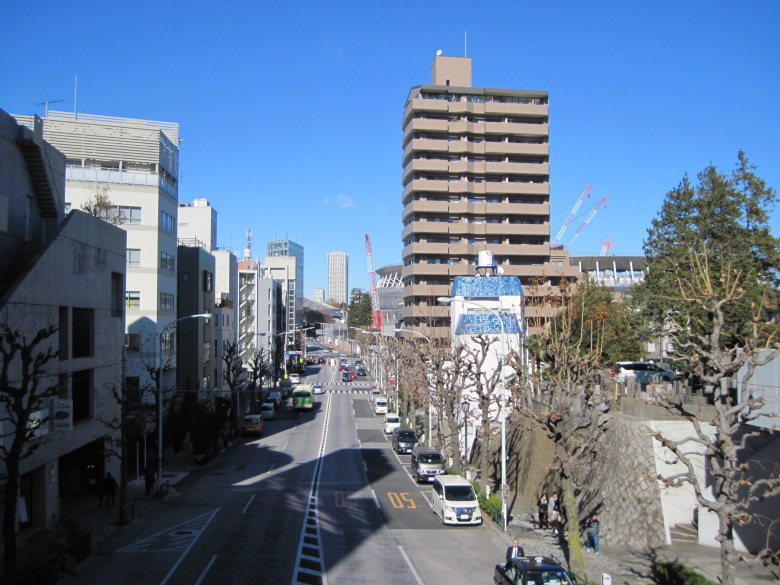
Photo looking north from the Harajuku overpass
Here is a photo of the Harajuku overpass looking north from the top of it.
The new National Stadium is hidden behind the flats, but you can see a number of crane jibs (arms), so construction is likely to continue.
The Onden River seems to have curved to the left (west side) from around the apartment building. This ring road seems to be an artificially created cut-through.
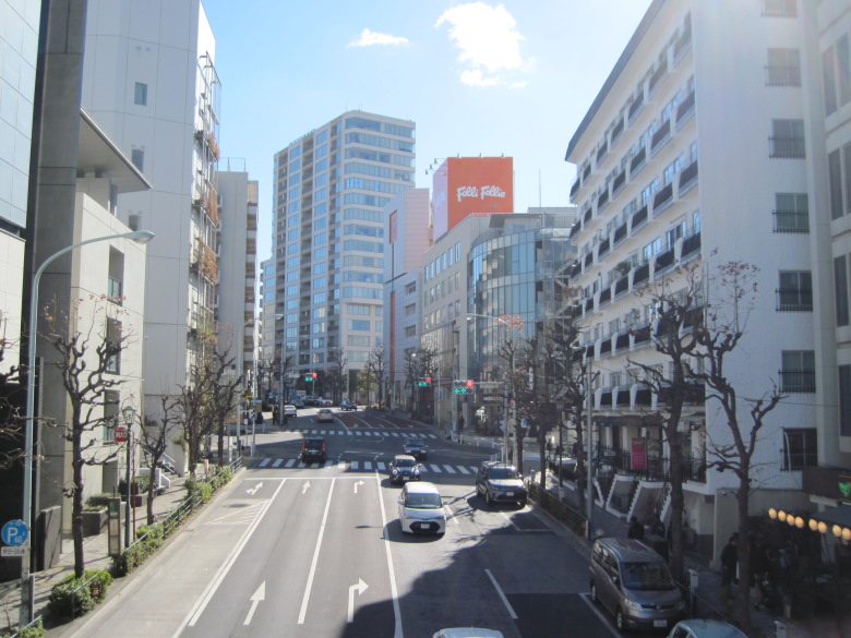
Jingumae 3-chome intersection seen from Harajuku overpass
Looking south from the overpass, the Jingumae 3-chome intersection can be seen.
According to Wikipedia, Hokusai’s ‘Watermill at Onden’ in his Fugaku Sanjurokkei (Thirty-six Views of Mount Fuji) is based on a watermill house located near Jingumae 3-chome.But the fact that the river in the ukiyoe flows from left to right, with Mt Fuji in front and people climbing the cliff on the other side of the waterwheel, suggests that the subject was a tributary of the Onden River, which joined near the Jingumae 1-chome intersection, some 400 m to the west. In any case, the area is now lined with buildings and Mt Fuji is not visible at all.
The buildings contain a number of fashionable shops. There is probably a lot of interesting things to see in detail, but there are so many people that it is difficult to take photos, and I am not very good at fashion, so it is difficult to write a text, but then I crossed the Aoyama-dori ridge and this time entered the valley line created by the remains of Kougai-gawa (Kougai River).
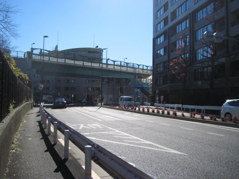
Multi-level intersection of Loop Route 4 and Metropolitan Route 413
Metropolitan Highway 413 came into view, but there were no roads that could take them to and from each other, probably because they had been cut much deeper by the Kougai River and the difference in altitude was too great.
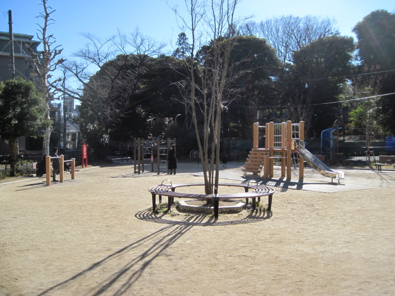
Kougai Children’s Amusement Park
Nearby, I found a neat little park! The name was unexpectedly Kougai Children’s Park.
”Kougai” is the name of an old women’s hair ornament and was named after the river’s shape, which resembled Kougai.
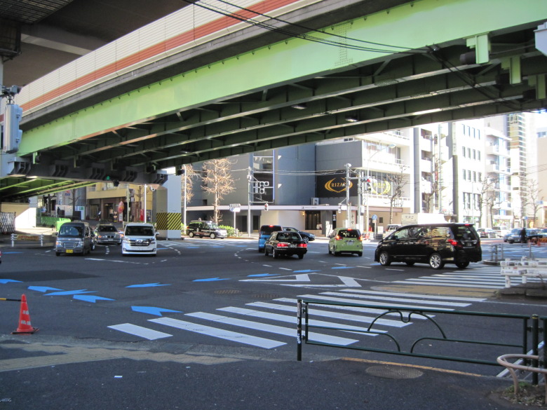
Nishi-Azabu Crossing
Today’s walk was to the Nishiazabu intersection.
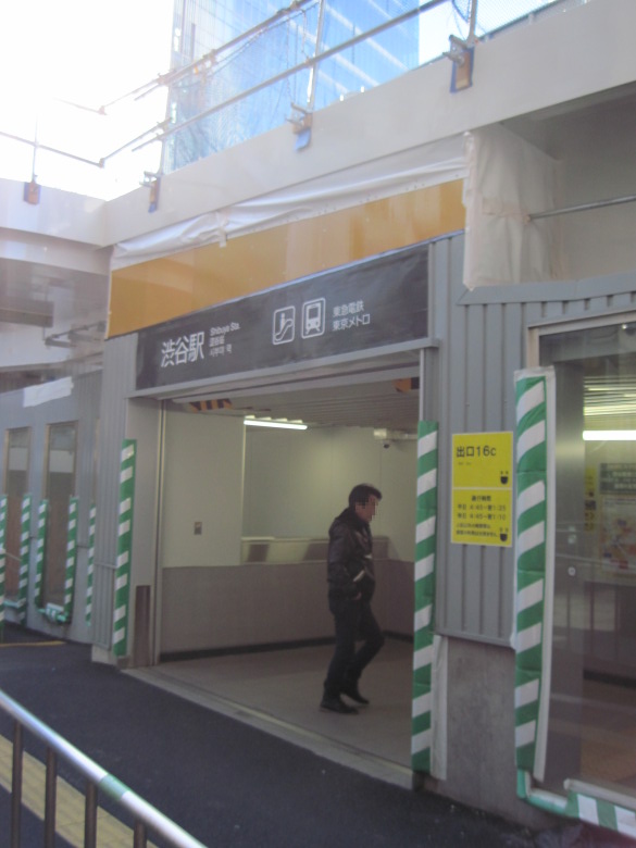
Shibuya station
The walk to Shibuya station is about 2 km, which is further than expected.
Walking data
Course: Tokyo Metro Oedo Line Wakamatsu Kawada Station -> Loop Route 4 (Wakamatsu Kawada – Nishiazabu) -> JR Yamanote Line Shibuya Station
Distance: 8.5 km.
Time: 2h14m.

