For me, the image of a one-way street was a narrow one-lane road. However, I was surprised to see a five-lane one-way street in Tokyo.
13km point
Edo-dori (Route 6), just outside the east exit of Asakusabashi Station, is almost the 13km point of the Tokyo Olympic Marathon course.
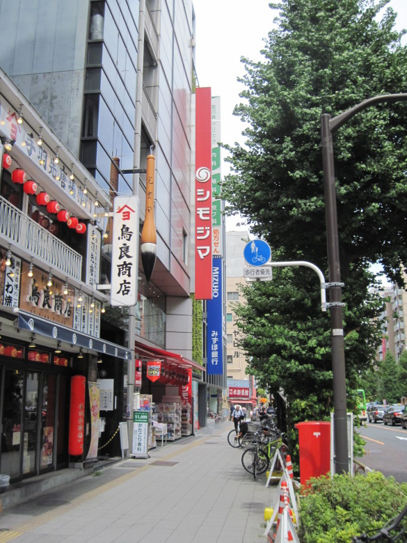
Wholesale district near Asakusabashi Station
This area is a wholesale district, and there are many stores selling interesting things.
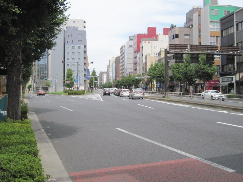
Kuramae 2-chome intersection
Walk 700 meters north to the intersection of Kuramae 2-chome, the junction with Kokusai-dori. The marathon course takes Edo-dori Avenue on the right, heading toward Asakusa.
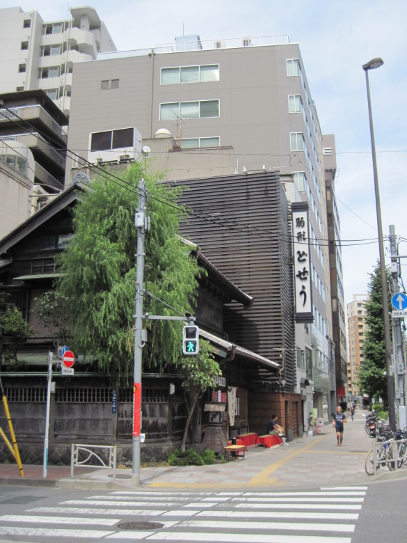
Komagata loach restaurant
There was the main Komagata loach restaurant. It’s a famous restaurant, but I’ve never been there because it seems too expensive. There are always people sitting on the chairs in front of the store, waiting. Today, there was only one person waiting for a seat to become available.
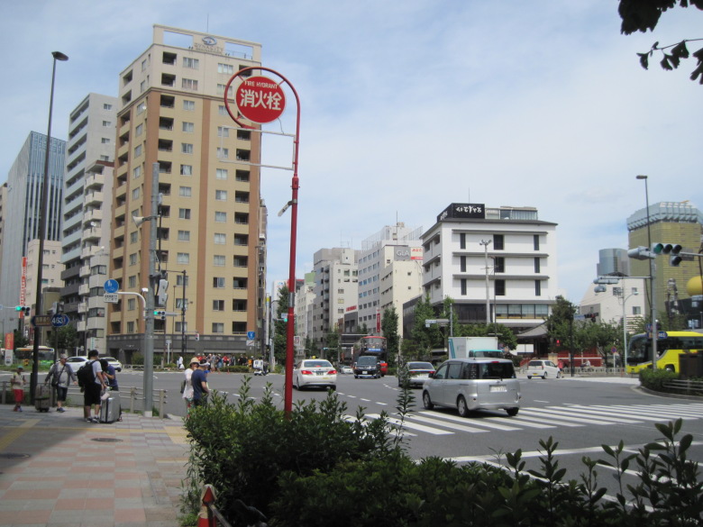
Komagata Bridge West Crossing
At the intersection of Komagata Bridge Nishizume, take the road to the left of the tall apartment building slightly to the left of the photo. Go around and come back later from the road on the right side of this apartment building.” I’ll be back!”
15km地点
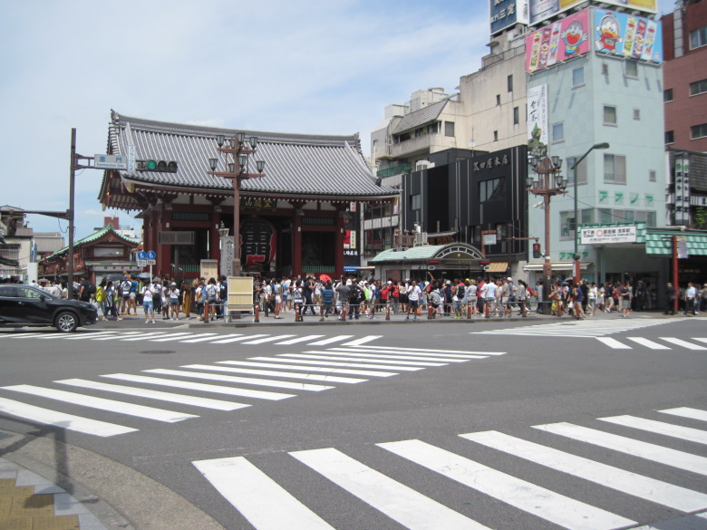
Kaminarimon
This is Kaminarimon. Even though it’s a famous place, marathoners don’t have time to look at it. However, since this is the 15km point, I think it’s the point where athletes are concerned about their time.
Incidentally, Kaminarimon Street in front of Kaminarimon Gate used to be called Asakusa Hirokoji. It’s one of the three major Hirokoji streets in Edo, the others being Asakusa Hirokoji and Ryogoku Hirokoji.
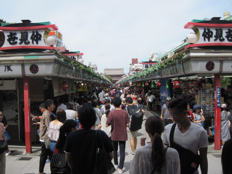
Nakamise
I don’t think the players had time to look at the Nakamise, so I took a picture of it, even though it was none of my business. It turned out to be a one-point perspective composition.
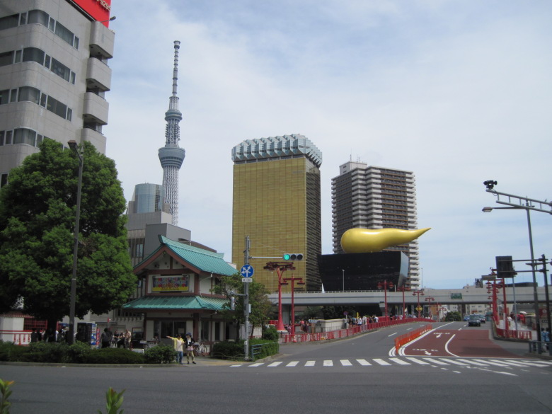
Tokyo’s power spot?
Tokyo Sky Tree, Asahi Group Headquarters Building and Azuma Bridge. Whenever I come here, I always feel that this is a super power spot in Tokyo. I’m sure it will give the athletes the power to run.
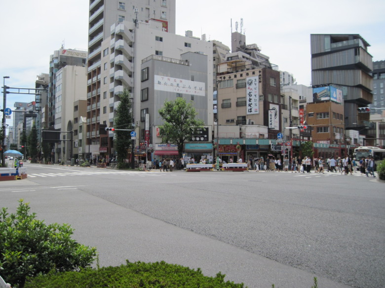
Azuma-bashi Nishizume Intersection
This is a view of the intersection at Azumabashi Nishizume from the northeast. The athletes coming from Kaminarimon Street on the far right turn right onto Edo Street on the far left.
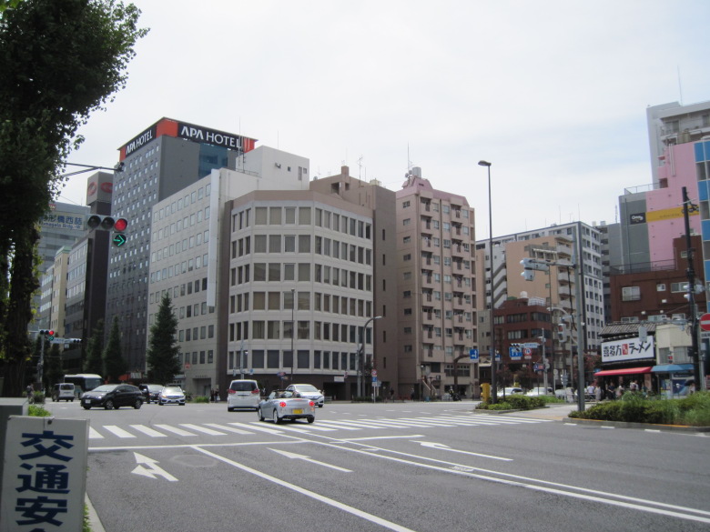
Komagata Bridge west crossing again
I am back at the intersection at the west end of Komagata Bridge.
Will the lead group meet the laggards running on the other side? Or, at the Olympic level, will there not be much difference?
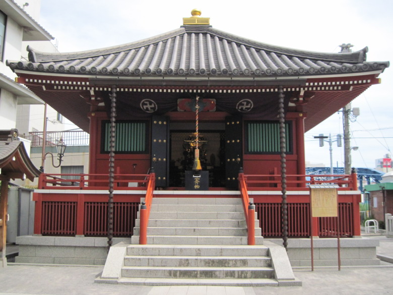
Komagata Hall
I found Komagata Hall! Huh? Didn’t the doors of the hall always open so I could see inside?
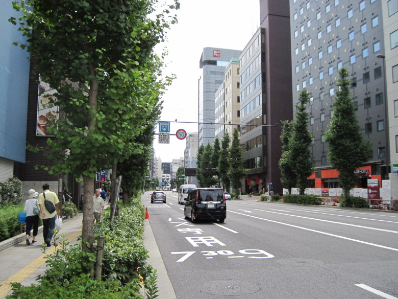
Flat and straight course
The course around here is pretty flat and straight. I wonder if the athletes won’t get tired if they can see the course all the way ahead.
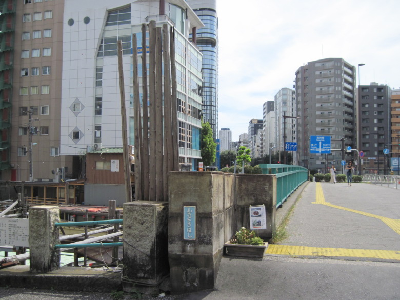
Asakusabashi Bridge
I passed through the JR guard and came to Asakusabashi.
What is the reason for the seven wooden poles standing behind the main pillar? I’m quite curious.
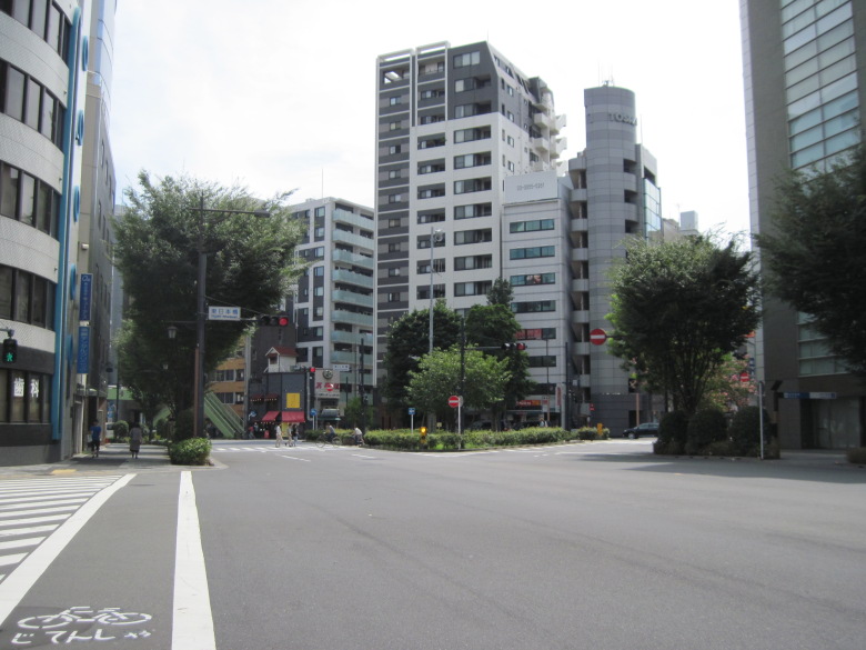
Higashi Nihonbashi Crossing
This is the Higashi Nihonbashi intersection.
On the outward trip, I had to go around the plantings, but this time I could easily turn left.
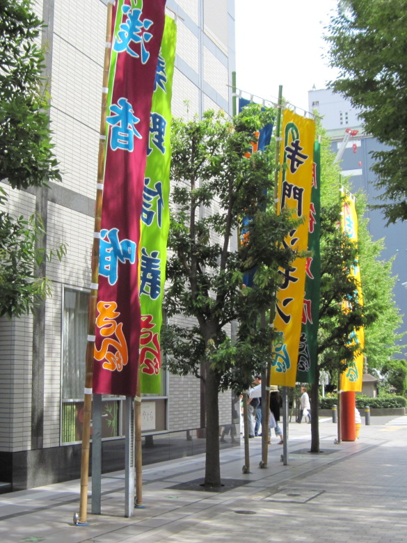
The Meijiza Theater
I came to the Meiji-za Theater.
The design of Asaka Yui’s banner is a nice color scheme. It’s very classy.

Hamacho-Nakanohashi intersection
I forgot to take a picture of the Hamacho-Nakanobashi intersection when I came here, but I did this time.
But, what? What’s wrong? There are five traffic signs for each direction of travel!
What? For such a wide area, could it be a one-way street?
Oh, I see. If I were to drive carelessly from the other side, I might end up driving the wrong way.
During the marathon, I wonder if the relay cars will run in the opposite direction along this Kiyosubashi Street. It will be interesting to see.
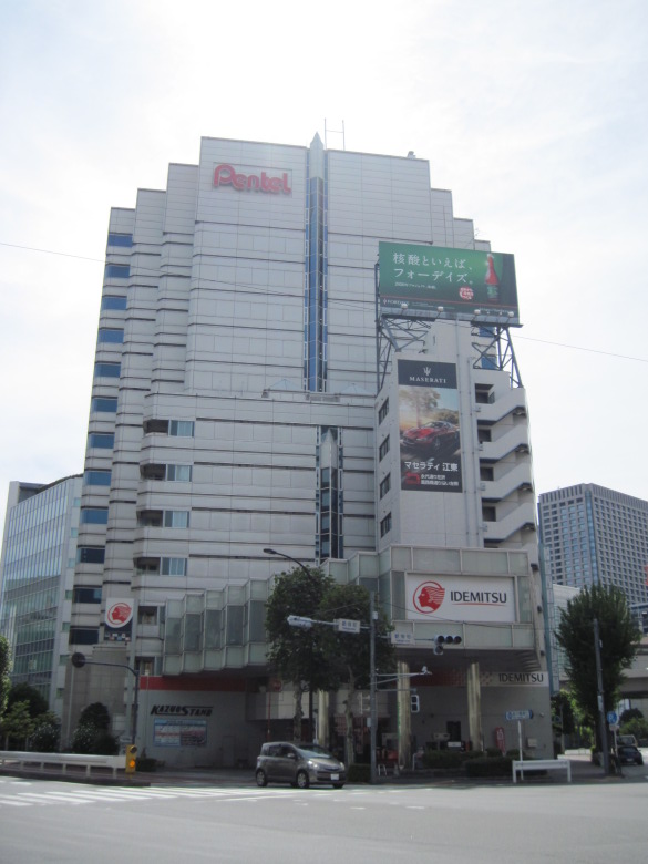
Pentel Headquarters
The elevator at Pentel’s headquarters is shaped like a rocket pencil. I like the playful design.
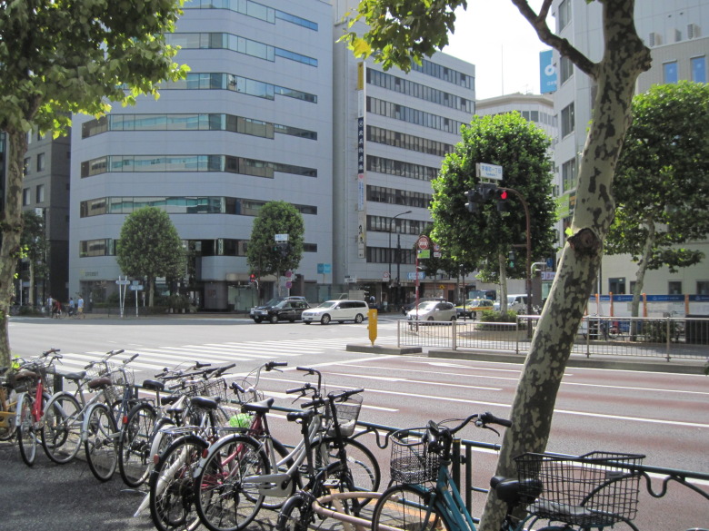
Kayabacho 1-chome intersection
At the Kayabacho 1-chome intersection, turn off Shin-ohashi-dori and onto Eitai-dori.
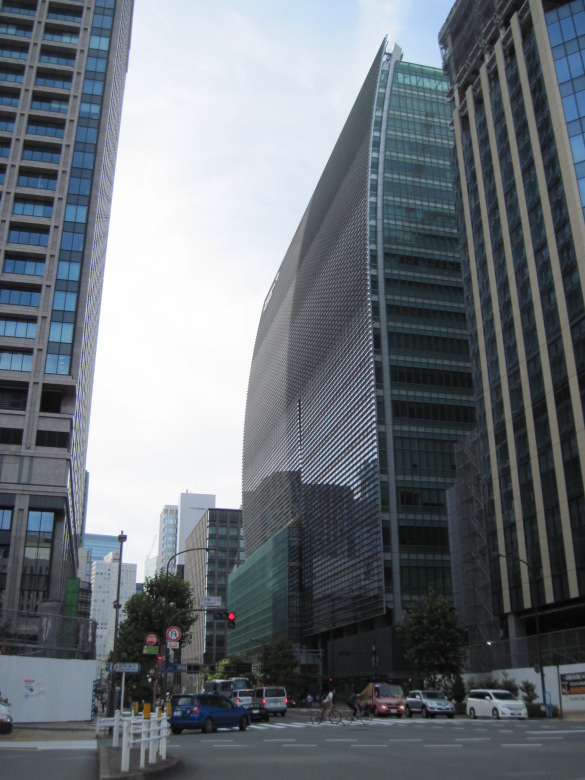
COREDO Nihonbashi
Huh? The front wall of the Coredo Nihonbashi building has a gentle curve, doesn’t it? I didn’t know that.
The way the light reflects from the center of the building to the front and the other side is also different, so there might be some other structural secrets hidden in there.
20km point
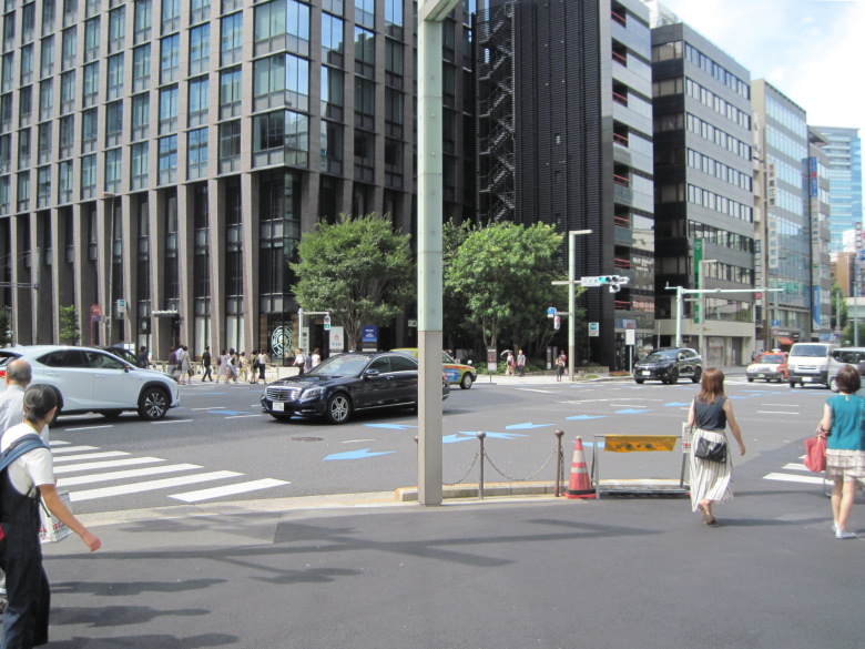
Nihonbashi intersection
Today’s walk was to the Nihonbashi intersection, which is the 20km point. It took me three days to finally walk about half the distance of a marathon.
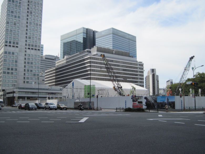
Some kind of construction site
Something is being built on the north side of Tokyo Station. If I take a picture every time I pass by here, it might be a good record. I’m sure I’ll forget about it in three days.
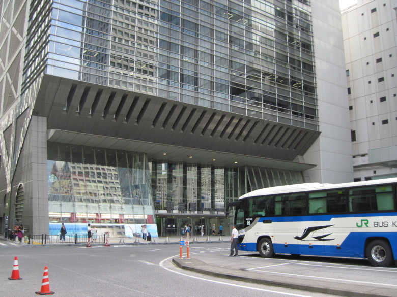
Tokyo Station Nihonbashi Exit
This is the Nihonbashi exit of Tokyo Station. I always thought it would be nice if the station name was displayed in a more prominent color scheme.
Walking data
Course: JR Sobu Line Asakusabashi Station -> 13km point -> 20km point -> JR Yamanote Line Tokyo Station
Distance: 8.2km
Time: 2h06m

