I walked all the way through Kannana.
I started walking on the day of the accession parade (11/10/2019), so it took me more than two years.
Heiwajima
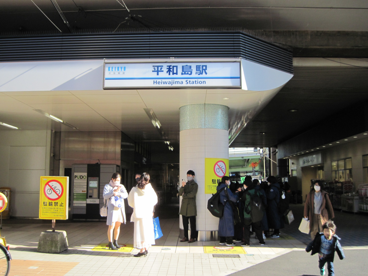
Departs from Heiwajima Station.
Heiwajima Station is not located in Heiwajima, but rather at the western entrance to Heiwajima.
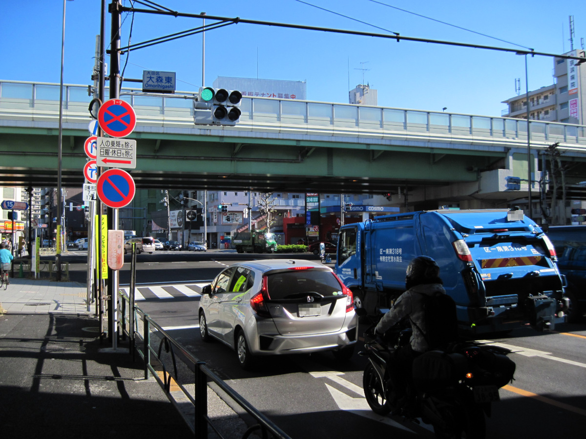
I begin the continuation of my Kannana walk at the Omori-Higashi intersection, located about 100 meters from the station. There are approximately 2 km remaining to the starting and ending points.
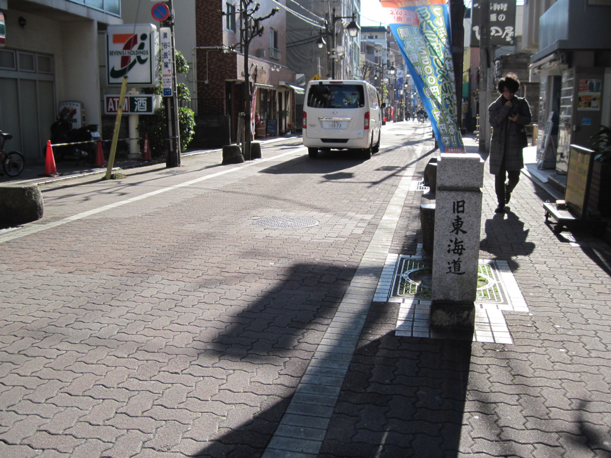
About 150 meters from the Omori-Higashi intersection, the road intersects the old Tokaido Highway. 10 years ago, I walked here and bought some Japanese sweets at Mochijin a little further on.

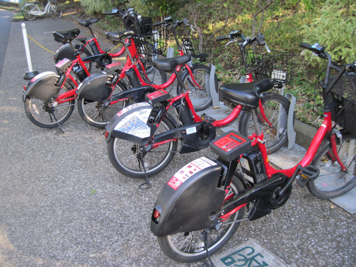
Found a bike port for rental bikes in Heiwanomori (Peace Forest) Park!
I often saw rental bicycles running around town as well. They must be easy to use.
This Heiwanomori Park is a reclaimed canal park. This is Heiwajima.
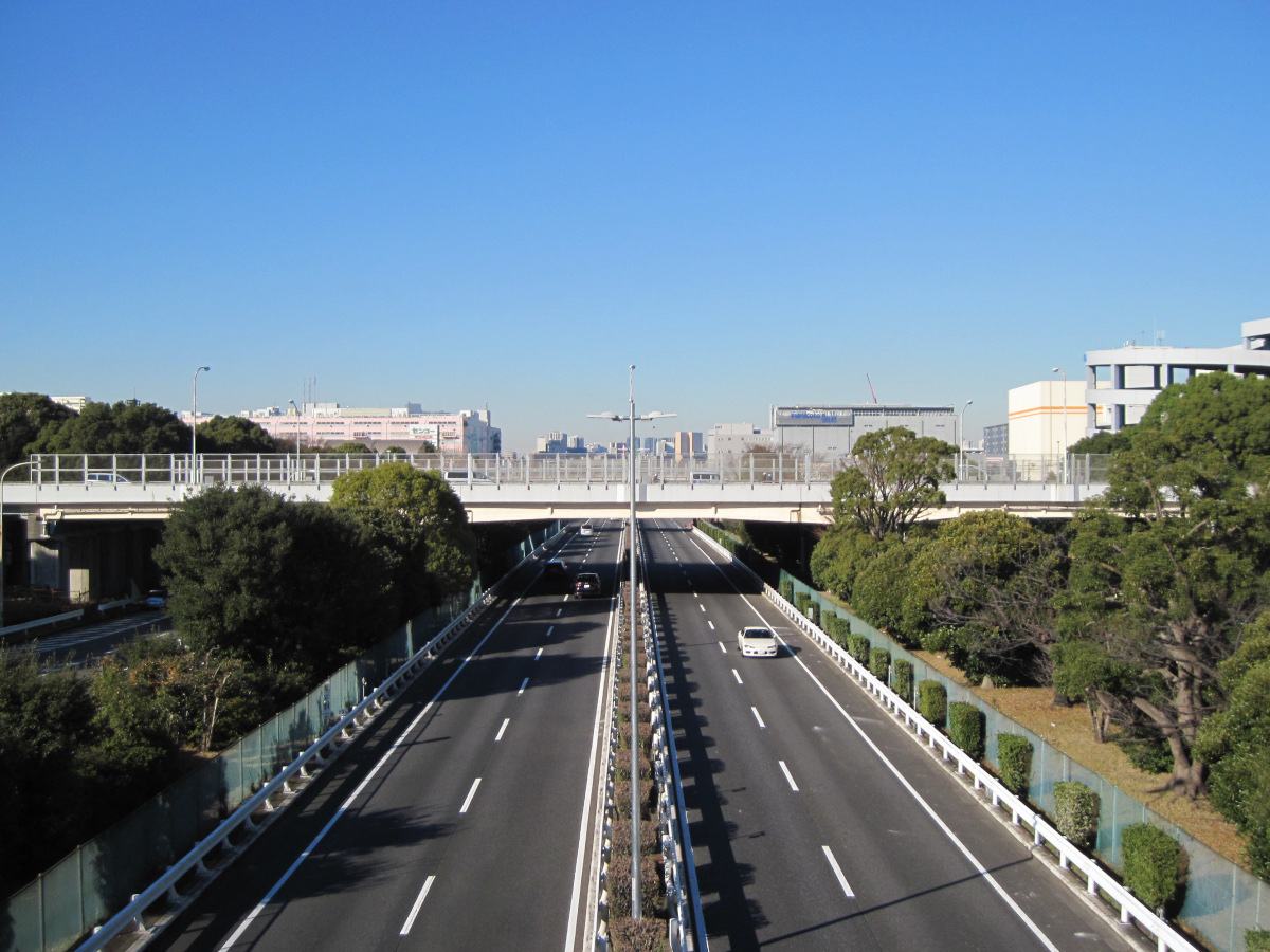
The Kan’nana and Metropolitan Expressway Route 1 crisscross through the center of Heiwajima.
Metropolitan Expressway No. 1 is much quieter than I expected. The upper part of the road is Kan-nana. Today is good weather too!
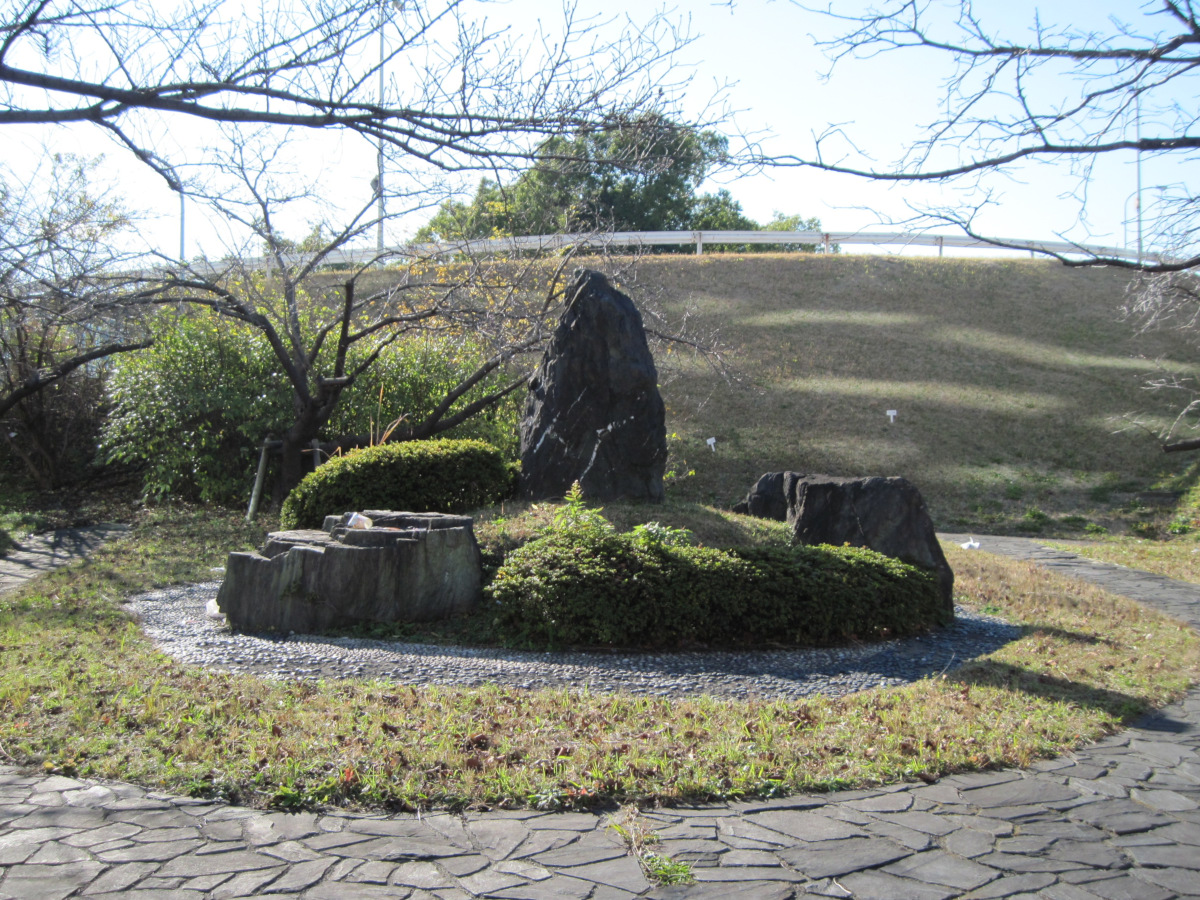
On the way to approach Kannana again, there is a machikado garden. A large stone that looked like a monument was just a stone and had nothing written on it. What was it made for?
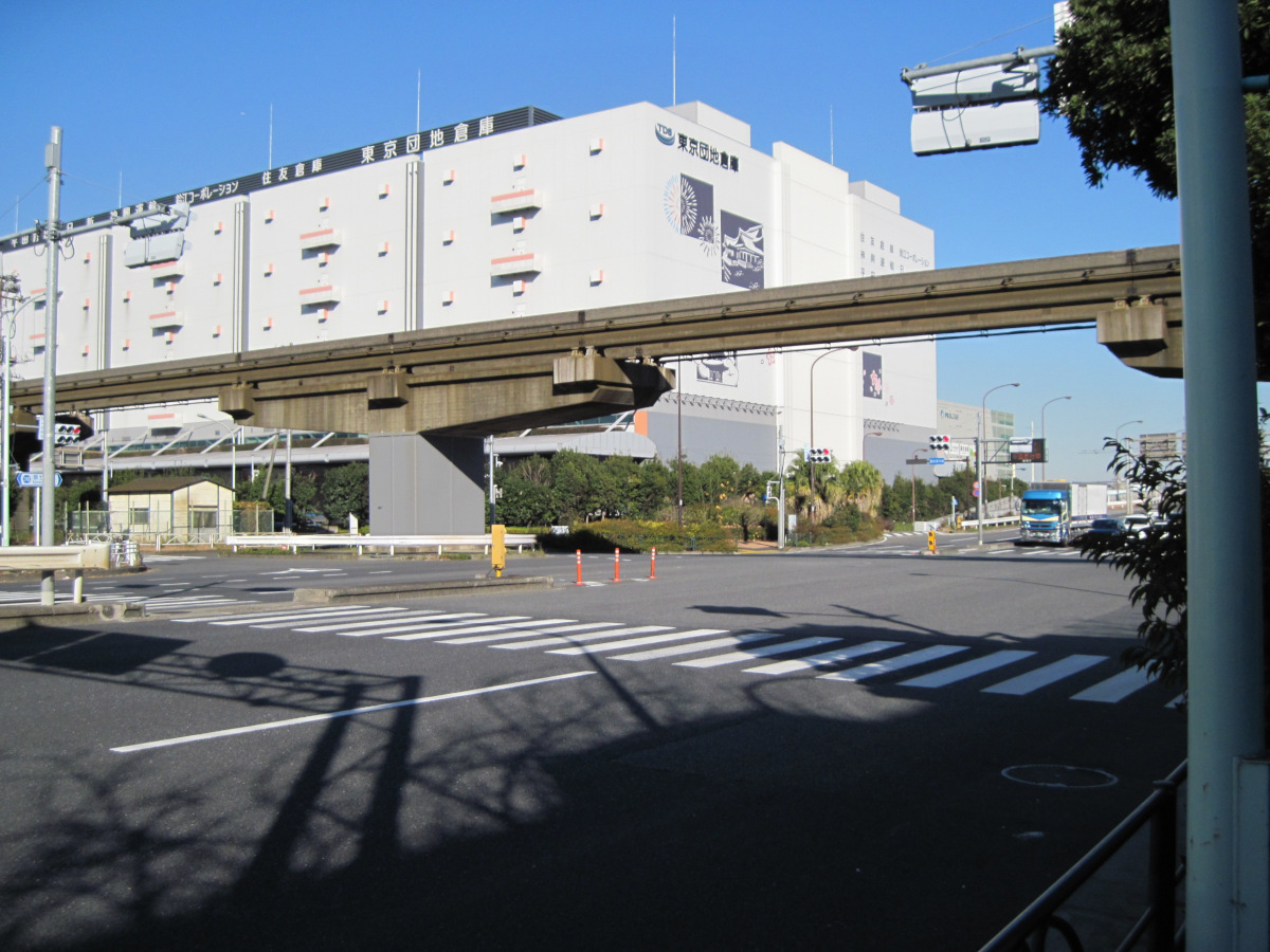
It passes under the monorail. The color of the monorail looks very old. It will celebrate its 60th anniversary in about three years.
The distribution center station is on the right outside the picture angle.

On the side of the Keihin Canal, I found the Ota Canalside Walk Park, which continues for about 450 meters. It is beautifully maintained, but no one walks there. It is a bit of a waste.
Oi Pier
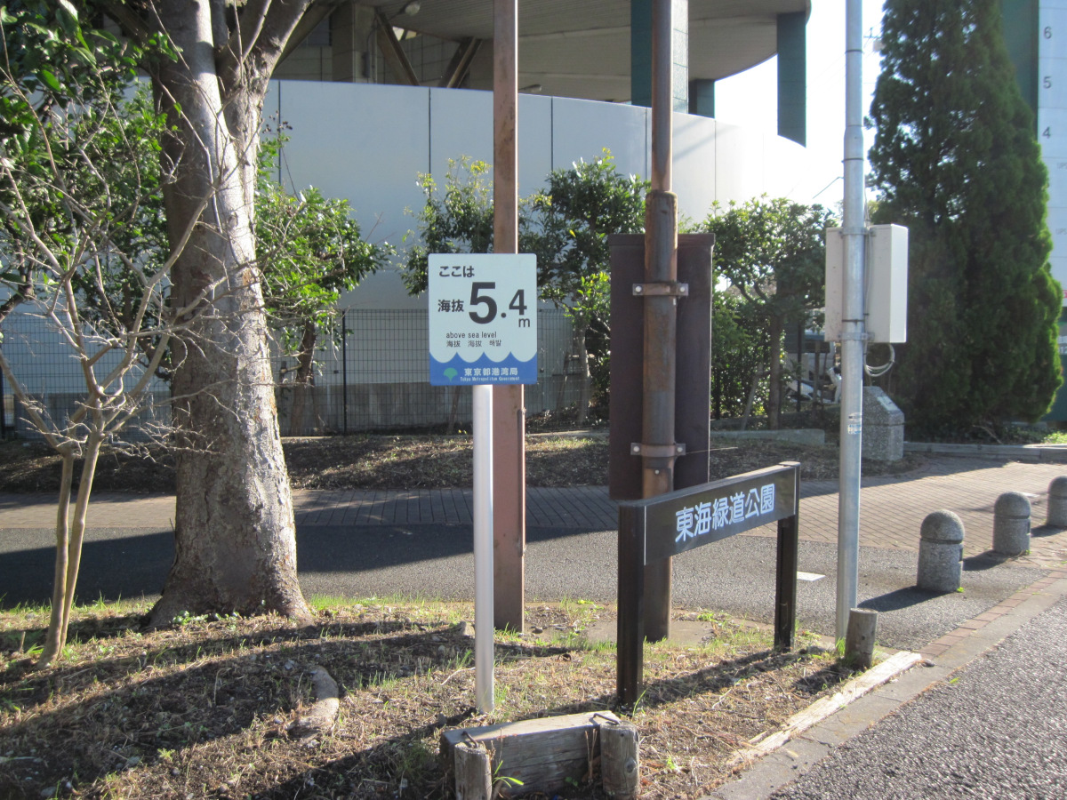
The elevation is 5.4 meters above sea level; reclaimed land is much higher than in the zero-meter zone. In some cases, it is safer to evacuate to a landfill to avoid tsunami damage.
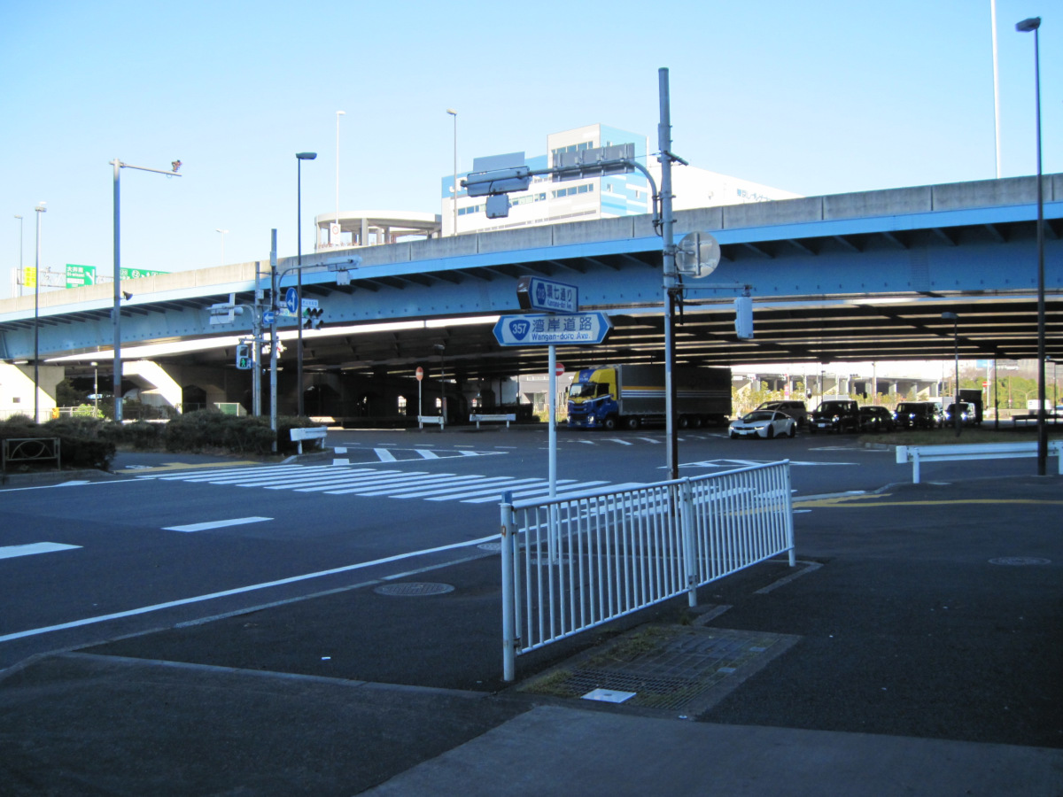
Finally, we have arrived at the Oi Futo intersection, the starting and ending point of Kannana.
The intersecting street is Bayshore Road (Route 357), and above it is the Metropolitan Expressway Bayshore Route.
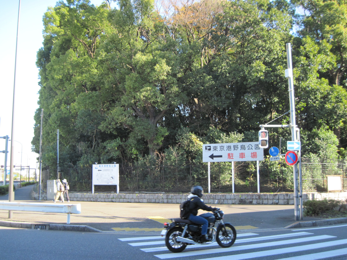
At the end of the intersection is the Tokyo Wild Bird Park.
I came here once about 25 years ago by bus. I don’t remember at all what kind of birds were there. It must have been the bus stop on the other side of the park, because when I got off the bus I could see Ota Market. I remember I was deeply moved because it was right after Kanda Market, which I could see from the platform of Akihabara Station, moved here.
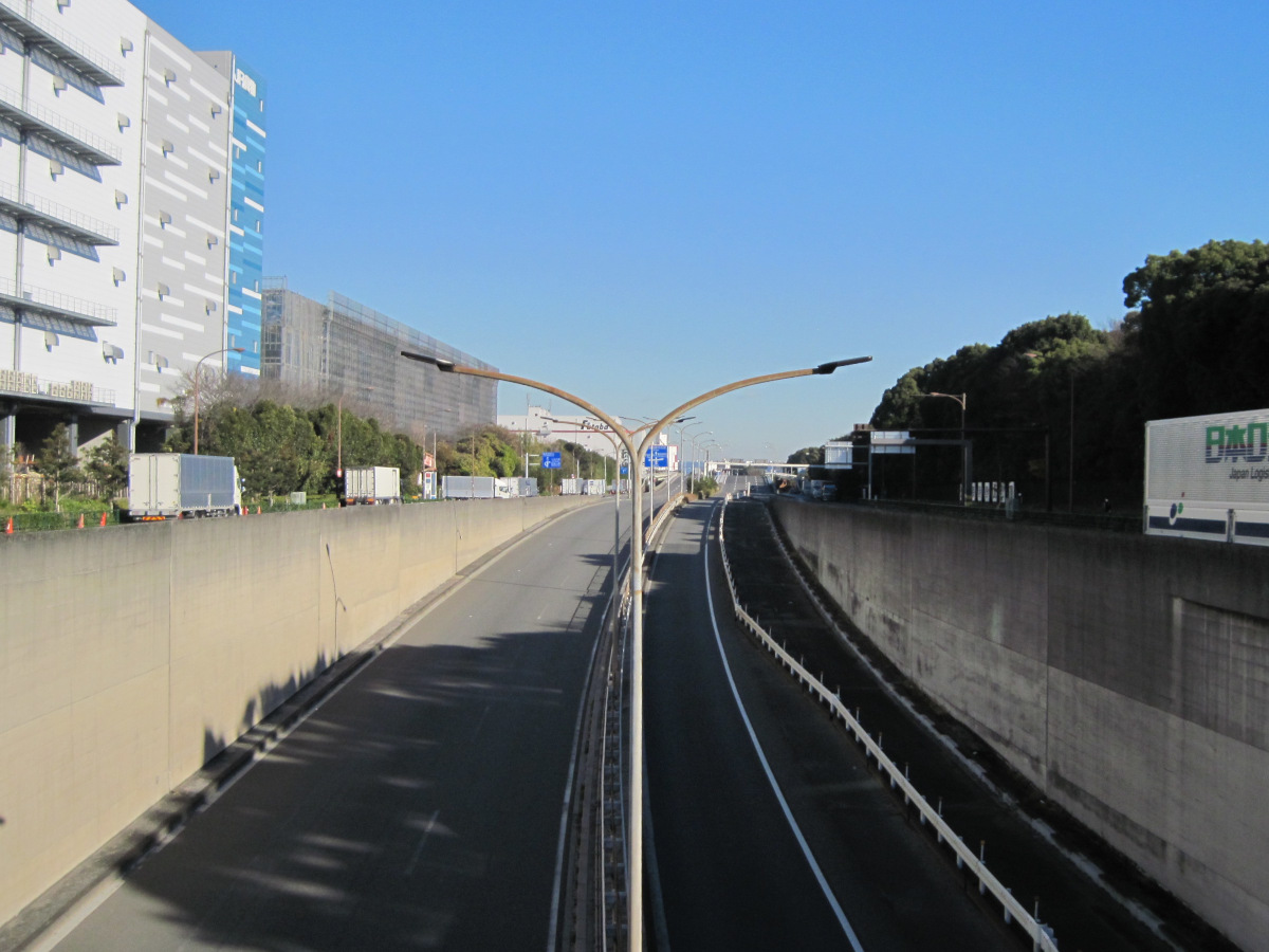
From here, Kannana became the Nihonbashi Shibaura-Omori line and continued onward.
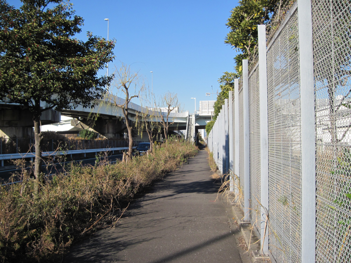
We turned left at the Kannana Oi Futo intersection and headed north. On the right is what appears to be the Shinkansen’s Oi rail yard.
The sidewalk along this Bayshore Avenue was covered with weeds, probably because not many people pass by.
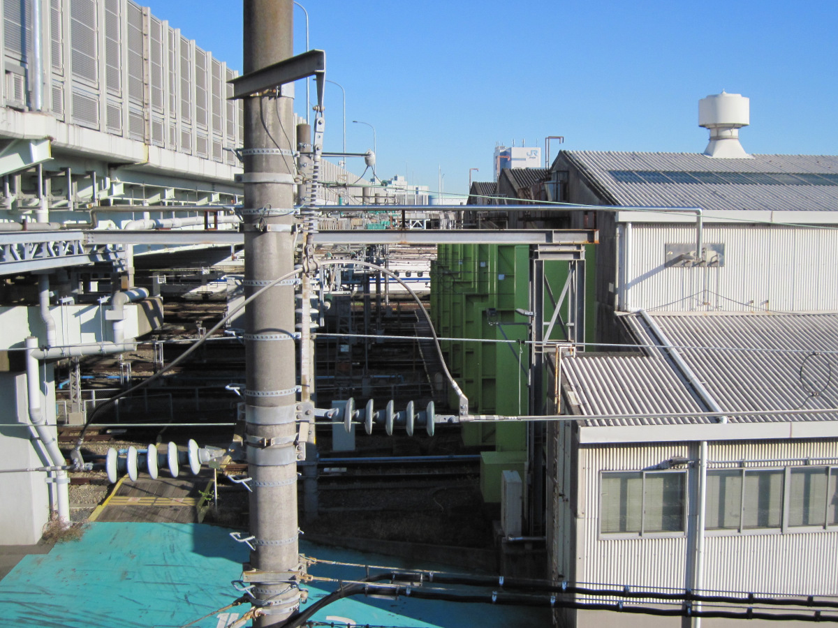
On the way up the stairs to the Oi Chuo overpass, the Shinkansen bullet train was visible.
After returning home, I learned that there was a possibility of seeing Doctor Yellow from this overpass. For some reason, I am not good at researching in advance. I will try to see it next time I am in the neighborhood.
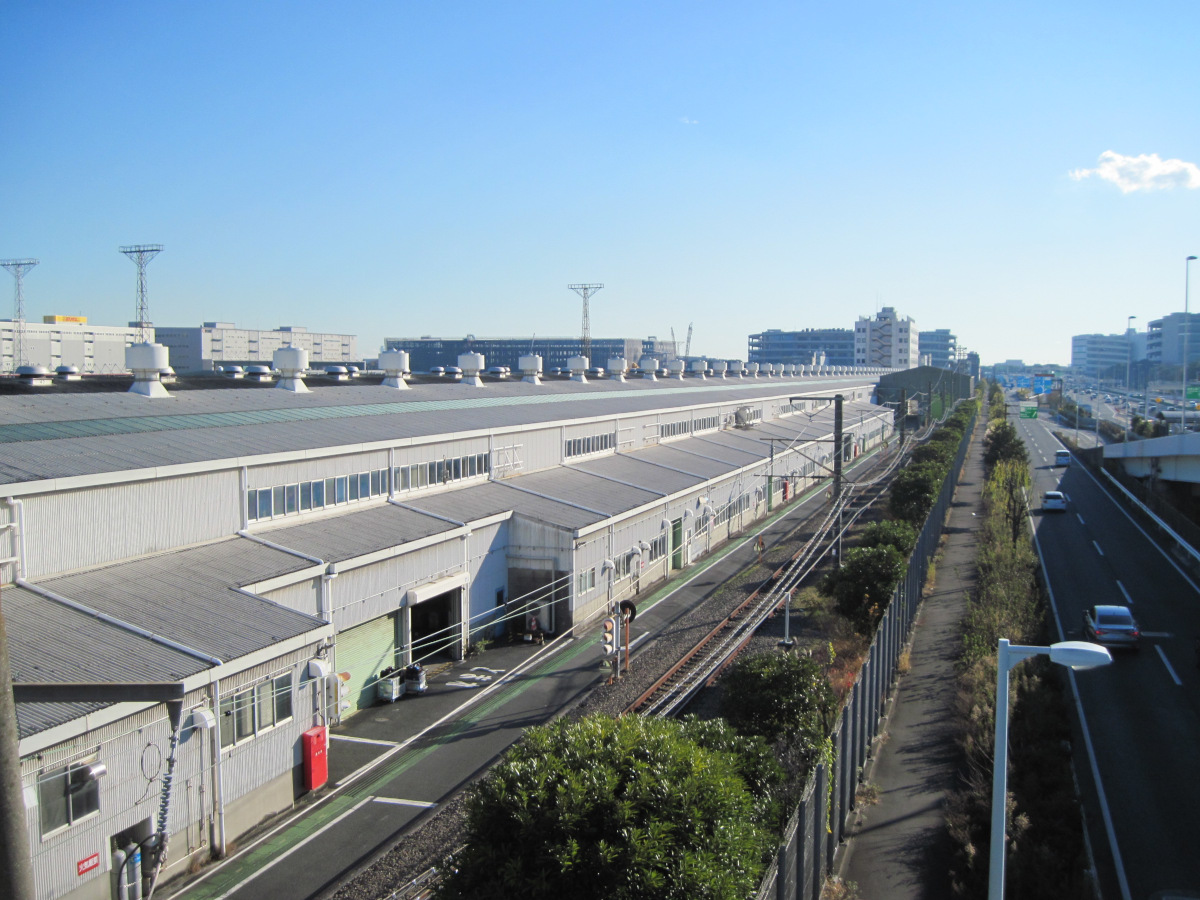
The building of the rail yard is long, about 450 meters. It is about the same length as the Ohta Canalside Walk Park mentioned earlier.
There is a railroad track between the building and the road we just walked on. It looks like it is for conventional railways, as it appears to be narrow gauge and there are not many insulators on the overhead wires. Is it carrying maintenance parts for the Shinkansen?
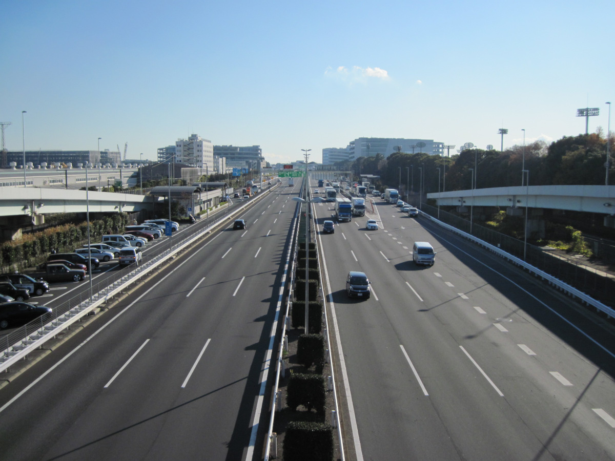
Head toward Oi Keibajo-mae Station on the Oi Chuo overpass. This street is the Metropolitan Expressway Bayshore Route that you just passed under.
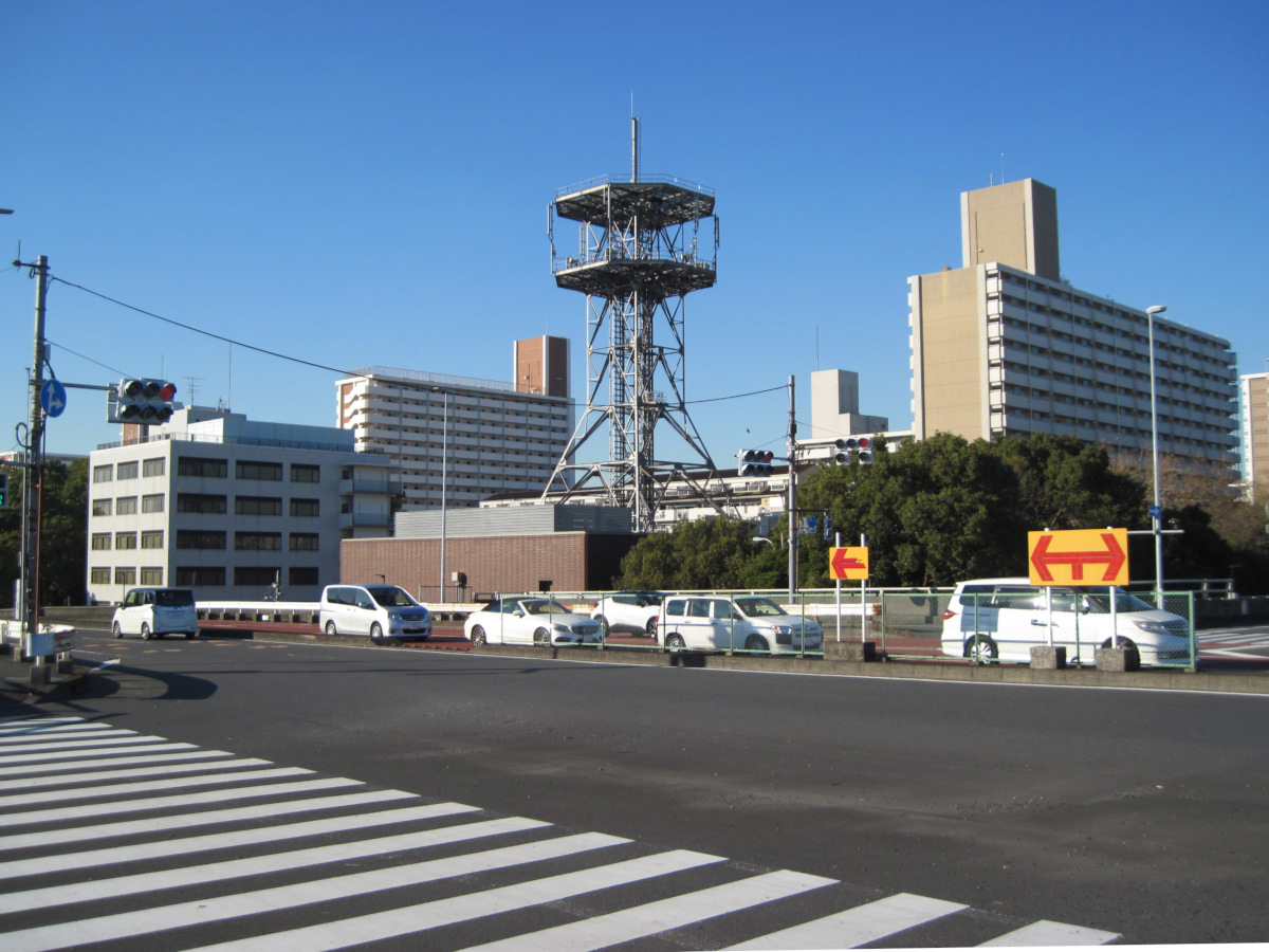
The large antenna is the NTT Wharf Building. The slightly lower building to its left is the Telecom Engineering Center, the oldest technical standards conformity certification and construction design certification organization in Japan. Simply put, it is an organization that grants permission to manufacture products that emit radio waves. Once permission is granted, the product can emit radio waves, displaying the technical conformity mark.
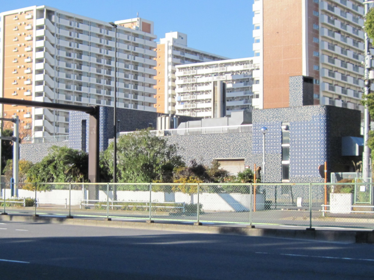
The rather pretty building was the Yashio Pump Station of the Tokyo Metropolitan Government’s Bureau of Sewerage. It would be convincing if it were said to be an embassy of some country.
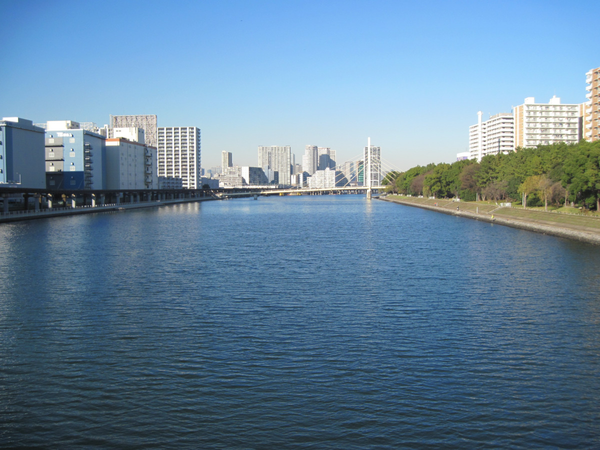
The view from Katsushima Bridge toward the north of the Keihin Canal.
The bridge you see is the Seagull Bridge. On the right is the Keihin Canal Greenway Park, where families were dining. It seems that goby can be caught in summer.
Oi Keibajo-mae Station
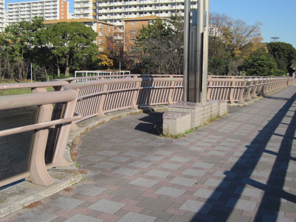
The sidewalk of the Katsushima Bridge was partially attached so that people could view the scenery and not be disturbed by the traffic.
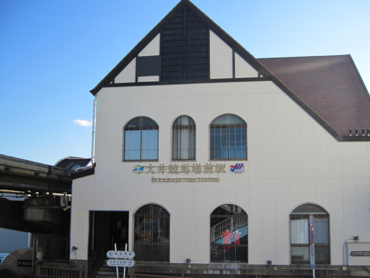
I arrived at Oi Keibajo-mae station. The gabled roof and the shape of the windows are distinctive.
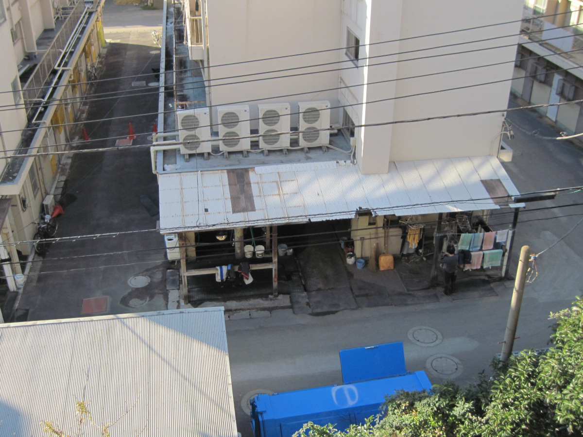
Stables can be seen from the platform of Oi Keibajo-mae station. However, I could not see any horses today.
Walking data
Course:Keihin Kyuko Railway Main Line Heiwajima Station -> Kanjo Route 7 (Omori Higashi Intersection~Kancho Oi Futo Intersection) -> Tokyo Monorail Haneda Airport Line Oi Keibajo
Distance: 5.0 km
Time: 1h26m

