Today is the seventh time for me to finish my walk along Loop Route 3. After the walk, I crossed Kachidokibashi Bridge and saw the Tsukiji Market area.
First I’ ll go to the lowest reaches of the Sumida River and the entrance of the Asashio Canal
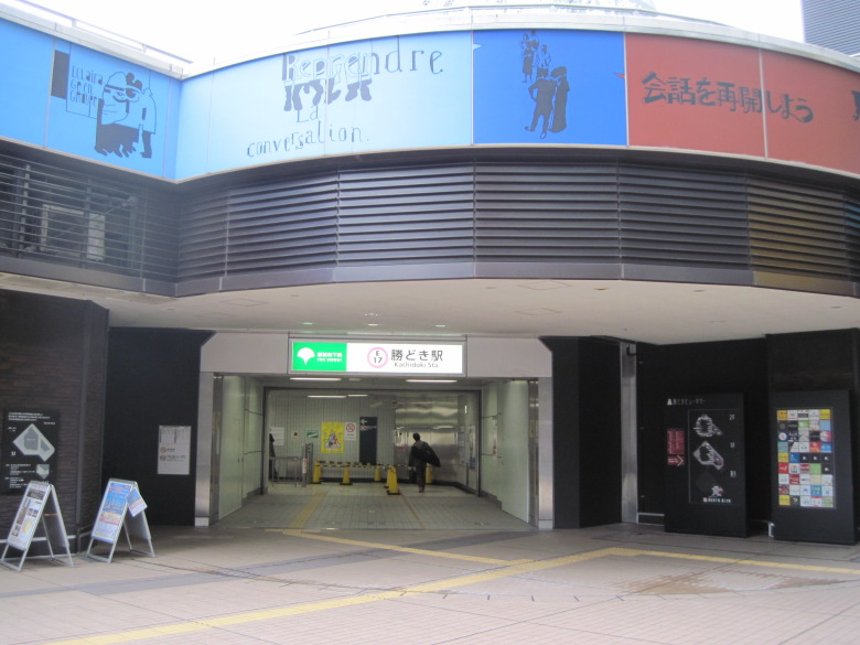
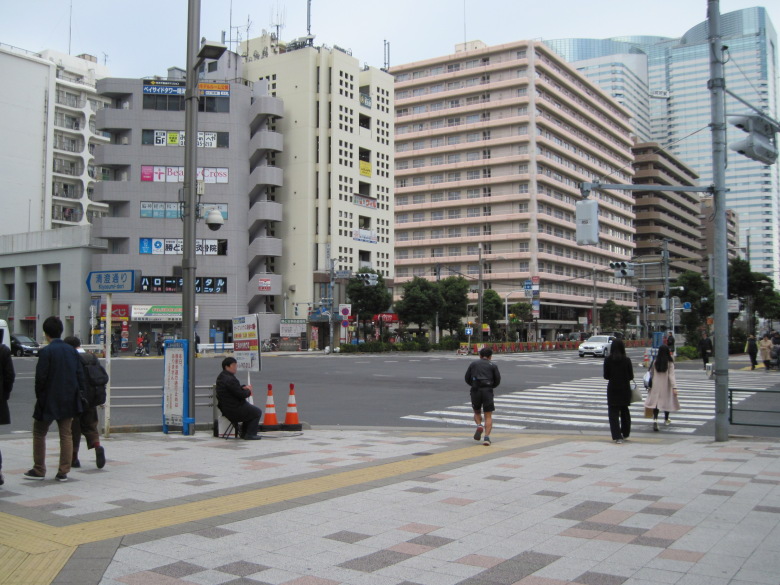
Kachidoki Station Exit
The exit of Kachidoki Station was semi-underground and a bit fashionable.
Kachidoki Station is located on Kiyosumi-dori, which is almost the end of Loop Route 3. However, to walk the entire Loop Route 3, you have to go to the southwest end once.
I don’t like to walk the same way back and forth, but I saw a map on the side of the road that said there is a grave site of Juppensha Ikku at Toyoin, north of Niijima Bridge over Shin Tsukishima River. Juppensha Ikku is the author of the well-known novel “Tokaido Chu Hizakurige,” and as a lover of Tokaido, I could not pass up the opportunity to visit his grave. I continued down Kiyosumi-dori.

Juppensha Ikkyu Cemetery
I passed this road on my way back from a walk along the Sumida River, but I did not notice Juppensha Ikkyu at all. There was not a single gravestone inside the temple gate, so I assume that this corner is the cemetery.
Ring Road 2 with transparent cover
Crossing the Niijima Bridge, the street intersects with Loop Route 2.
It is early in the morning to go to Toyosu Market, so it is covered with a transparent cover, perhaps to prevent noise.

Side road of Loop Route 2
I turned right and walked along the side of Loop Route 2 for a bit.

Tsukiji Bridge
The Tsukiji Bridge, which was impassable until recently, is now passable.
The arches of the lower arch bridge are tilted. Is it mechanically stronger this way?
Tsukiji Ohashi Bridge Name
The bridge name was written by former Tokyo Governor Yoichi Masuzoe. The right hand side of the character for “Dai” is cool, though.
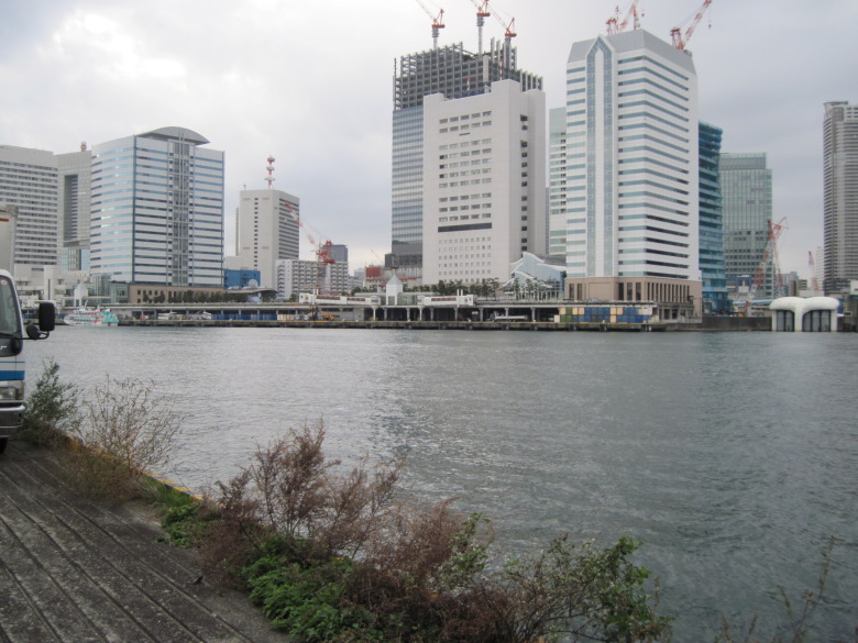
Administratively, the lowest reaches of the Sumida River, which is Tokyo Bay
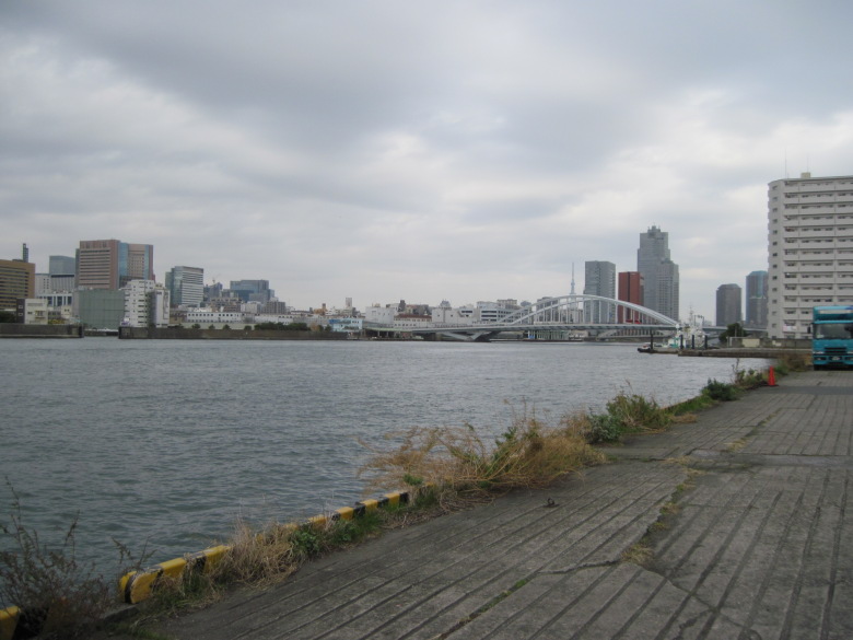
Since I will have a chance to cross the Tsukiji Bridge sometime in the future, and my goal today is to walk all the way through the Loop Route 3, I ventured downstream to the lower Sumida River. Administratively, this is already Tokyo Bay. The Tsukiji Ohashi Bridge and Tokyo Sky Tree can be seen overlapping each other.
Takeshiba Pier
Takeshiba Wharf can be seen to the west.

Jet Boat to Oshima
Just as the 13:20 jet boat was setting sail for Oshima.
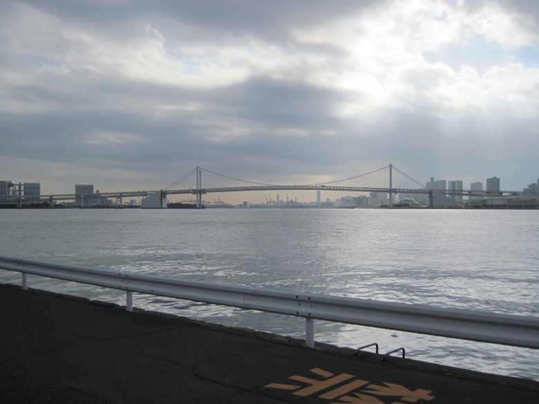
Rainbow Bridge and Shinagawa Pier
Shinagawa Pier can be seen under the Rainbow Bridge.
Asashio Canal Entrance
After walking along the ocean for a while, I came to the entrance of the Asashio Canal.
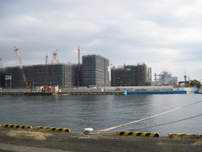
Construction of the Olympic athletes’ village continues.
Walking along Loop Route 3 from Tsukishima Pier to Kachidoki Station
Loop Route 3
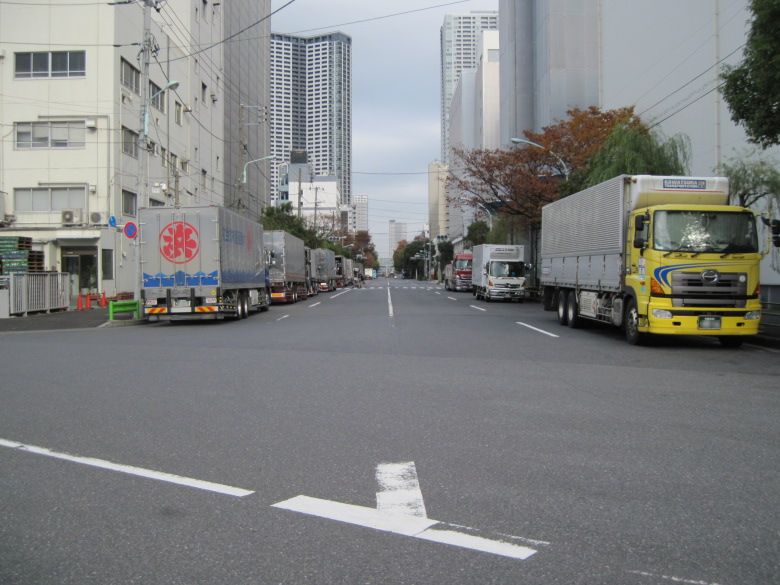
Now, back to Loop Route 3 (Kiyosumi-dori).
There are many trucks, but no pedestrians.

Sea side opposite Loop Route 3
This is what the ocean side looks like on the other side.
In the future, that street light will be removed and the road from around the mouth of the Shibuya River will connect here.

28th Kyosho Maru
On the way to Kachidoki on Kiyosumi Dori, I spotted the 28th Kyosho Maru!
Although I had never heard of this ship until today, it is actually a ship on an important mission. It is a ship that transports general and industrial waste from Ogasawara Village. Thanks to this ship, the beautiful nature of Ogasawara is preserved. Thank you, 28th Kyosho Maru. I want to go back. Ogasawara. I’d get seasick, though.

Rails
A short distance further on, the rails appear!

Tide barrier
This tide barrier, not the train, will pass through. So the buildings outside this tide barrier have to voluntarily withstand typhoons and tsunamis. I wonder if there will be such a tide gate at the Olympic athletes’ village in Harumi.
Kachidoki Station intersection
I was thinking what a surprise, when I arrived at Harumi-dori Avenue. This intersection in front of Kachidoki Station is the end (beginning?) of Loop Route 3. I think it should be. Whew. I’m done for the day. I am not tired at all.
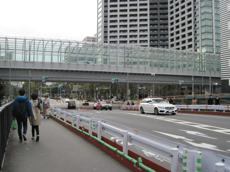
Crossing the Kachidokibashi Bridge
After walking all the way through the third ring road, I still have some room left, so today I will finally cross the Kachidokibashi Bridge. I have always wanted to cross this bridge someday.

An object with a cat on a giant plastic bottle
I found an object with a cat on a huge plastic bottle!
What is inside seems to be real water. I wondered if the people around me were looking at it with curiosity, but they seemed to pay little attention to it.

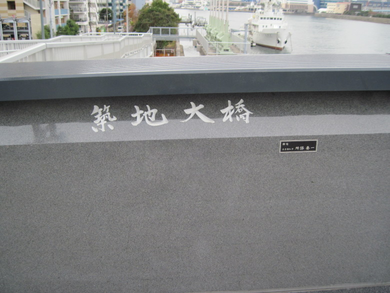
Kachidoki Bridge
Kachidokibashi Bridge is also an arch bridge. It was completed in 1940.

Stone material with a sense of gravity
It is massive because it is made of stone, not concrete or tile. I think they don’t make them today because the cost is not worth it.
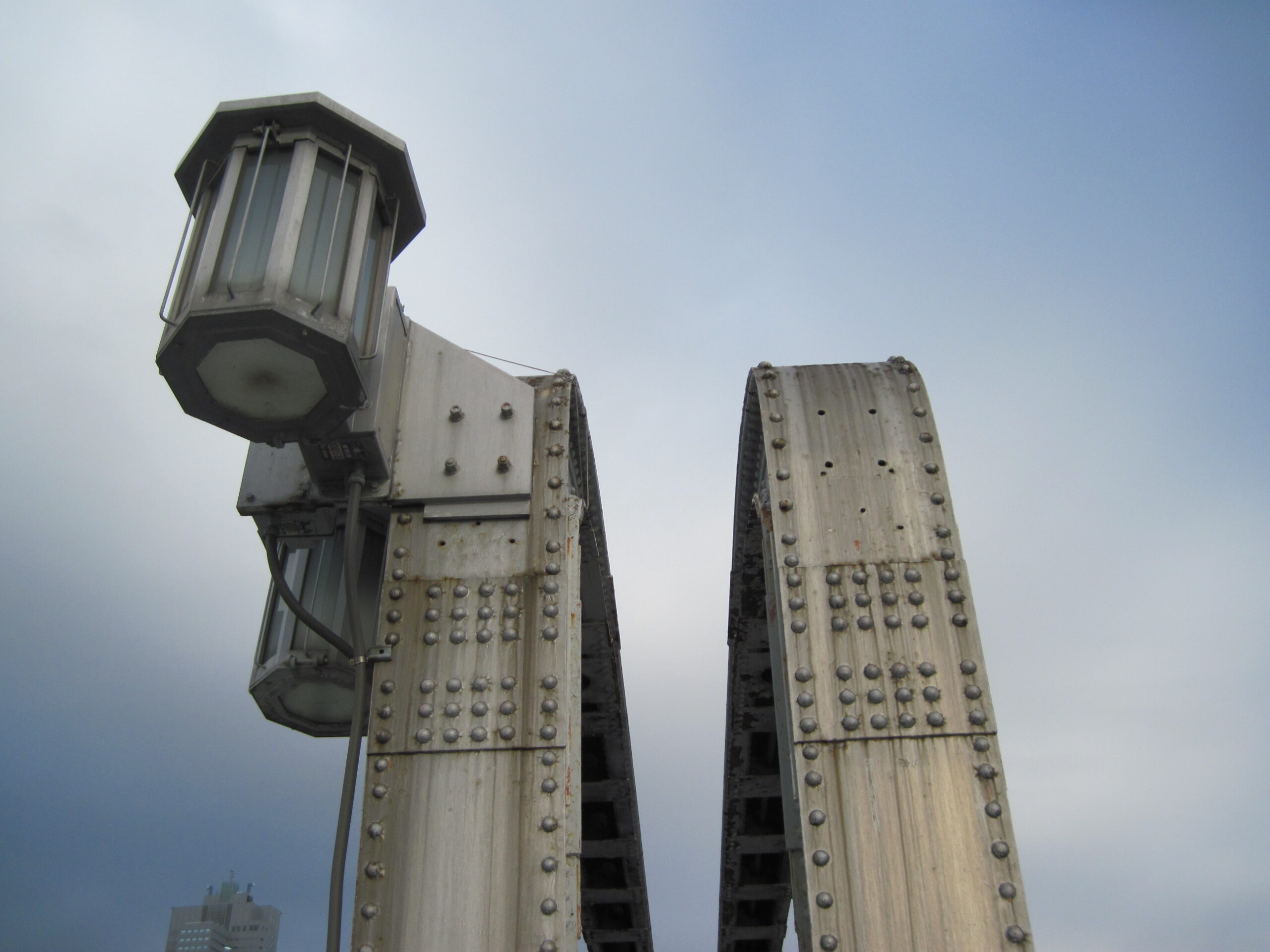
Central upper part of Kachidokibashi Bridge
The Kachidoki Bridge is a movable bridge, and this is its central upper part.

Central road section of Kachidoki Bridge
Here is the road section. It is amazing. Even though it is such a movable huge building, there is no difference in height between the left and right sides.
What is that? Power lines are routed across the left and right sides, each fixed to the other. I don’t like these things. No matter how much it is said that there is no plan to open again, you actually expect a little “maybe there is a plan to open soon under the surface”, don’t you? But just having this one line takes away the pleasure of imagining such a thing.
Why not just get the power from the left side? What a dream!

Pier for unloading cargo at the former Tsukiji Market
So Tsukiji has a pier for unloading. In other words, fishermen must have laid their boats directly here and unloaded fresh fish. When I visited the Toyosu market the other day, I saw a store selling fishing materials, which makes sense.
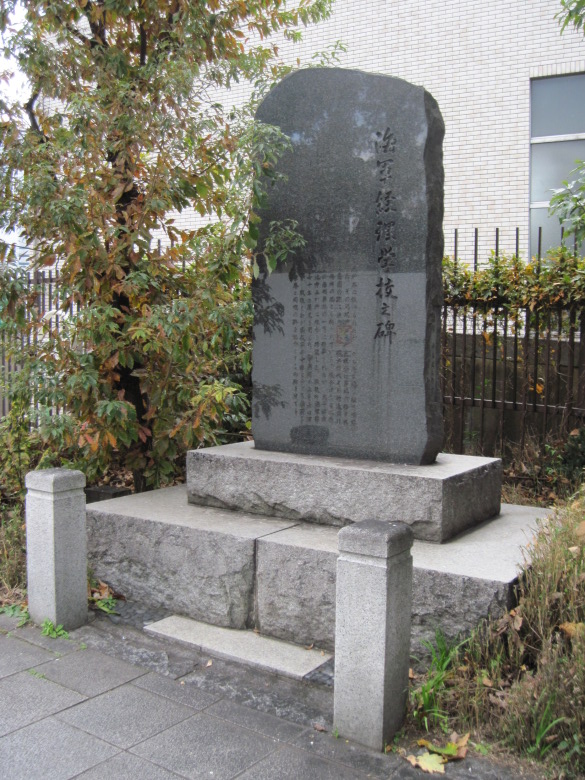
Monument to the Naval Accounting School
At the foot of the bridge was a monument to the Naval Accounting School. Former Prime Minister Nakasone was a graduate of this school.

Stone monument of “Kachi toki no watashi”
Next to it is a stone monument, “Kachidoki no Watashi.” This monument was set up after the fall of the Lushun Fortress in 1905. Ryotaro Shiba’s “Saka no ue no Kumo” (Clouds over the Hill), which I read decades ago, came back to my mind, but I wonder if there was any mention of Kachidoki no Watashi.
Behind the monument is the Kachidoki Bridge Museum. It is open on Saturdays, so I will have to come back again when I have a chance.
A walk around the former Tsukiji Market
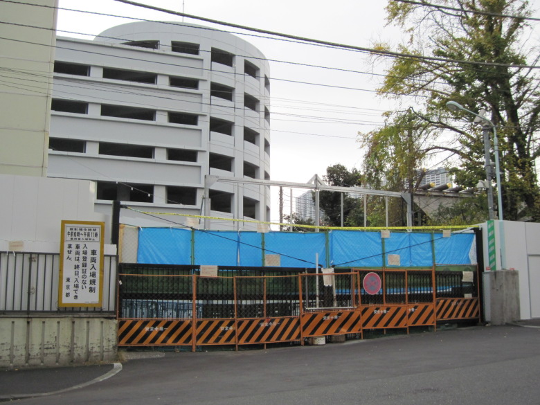
Tsukiji market under demolition
The longest demolition work at Tsukiji Market is the office building of the Fruits and Vegetables Department and others, which started on October 11 this year and is scheduled to last until February 28, 2020. By that time, the new era name. Since it is an old building, there seems to be asbestos here and there. I hope you will take care of your health and work on it.

Namiyoke Shrine
Walking along the market, I found the Namiyoke Shrine. Many people were paying their respects.

A deserted Tsukiji Outside Market
However, the off-site market was deserted. I wonder if everything is okay?

Lively Tsukiji Outside Market
However, as I approached Shin-Ohashi Dori, more and more people began to arrive. It is very lively and looks like it will continue to be okay.
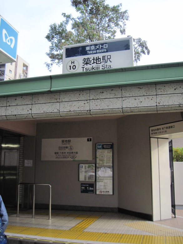
Tsukiji Station
Exiting onto Shin-Ohashi Dori, I proceeded with Honganji Temple on my right, and today I returned from Tsukiji Station.
Walking data
Course: Kachidoki -> Loop Route 3 (Tsukishima Pier – Kachidoki Station) -> Tsukiji Outside Market -> Tsukiji
Distance: 6.9Km
Time: 1h57m

