20km point
Today is the fourth day of walking the marathon course for the 2020 Tokyo Olympics. Finally, I am in the second half.
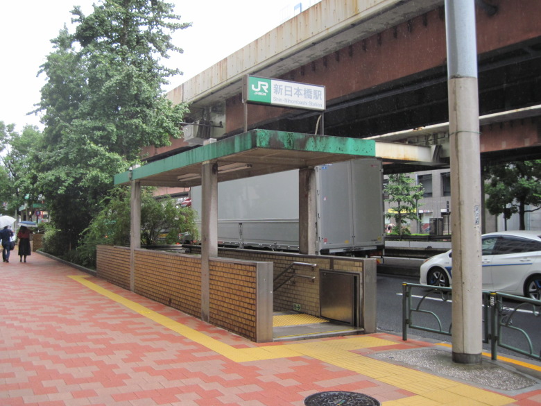
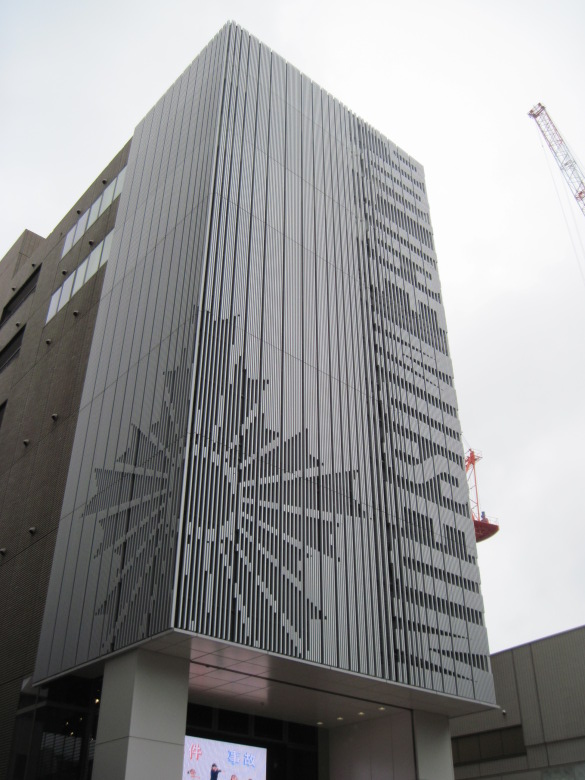
Shin Nihonbashi Station
I got off the train at Shin-Nihonbashi station to head for the 20km point, the Nihonbashi crossing.
Although the area around Shin-Nihonbashi is less crowded, there are the Daiichi Sankyo Pharmaceutical Museum and the Ozu Museum to enjoy. Both are free.
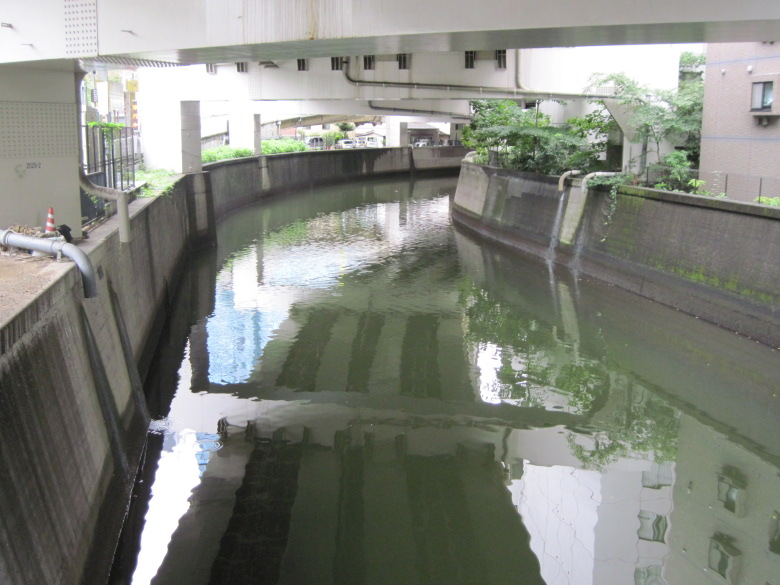
Nihonbashi
I should have headed west after crossing the Nihombashi River, but I made a quick turn and ended up at the main body of Nihombashi instead of the Nihombashi intersection.
Today’s course was the old Tokaido highway until just before Shinbashi, so I decided to walk along it for a while, enjoying the feeling of the highway.
The rain from yesterday is still continuing.
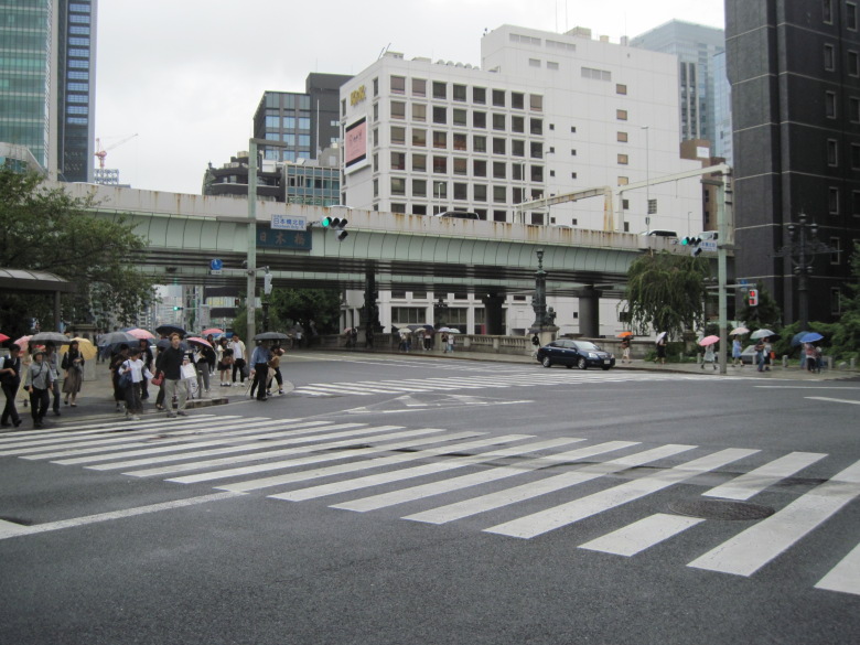
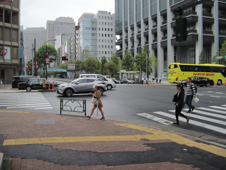
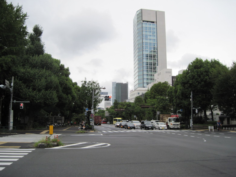
Nihonbashi intersection
I’m now at the Nihonbashi intersection. This is the 20km point.
The old Tokaido Highway runs along a ridge, and the road is supposed to be a little lower on both sides, but with so many buildings, it’s hard to tell.
Nihonbashi 3-chome intersection
When I tried to cross the intersection at Nihonbashi 3-chome, I found a stairway to the underground.
“I’ll have to go through the underpass. The stairs are a hassle,” I thought as I walked down the stairs. But it turned out to be an entrance to a parking lot, not an underground passage. Therefore, I had no choice but to come up the stairs again. I felt a sense of regret for my carelessness. There was a crosswalk on the other side of the stairs.

Kilometer post 1km from Nihonbashi
This is a kilometer post 1km from Nihonbashi. I also got a photo of the 1km post on Route 17 at the 9km point of the marathon, so this is the second one in my collection.
By the way, it’s less than 500km to Kyoto, so you need to walk 500 times this distance to reach Kyoto. 1km is not a big deal, so it sounds easy, but it was quite a challenge to actually walk it.
Police Museum
I found a police museum on the side of Kyobashi!
I usually just pass by it, but today I just had to go in. Admission is free.
The exhibits are on the fifth floor. The latest investigative techniques are beautifully explained in an easy-to-understand manner, and there were no broken exhibits. You can sit in a helicopter or a motorcycle, but not in a police car.
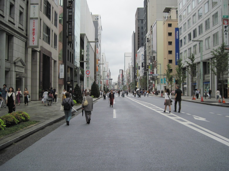
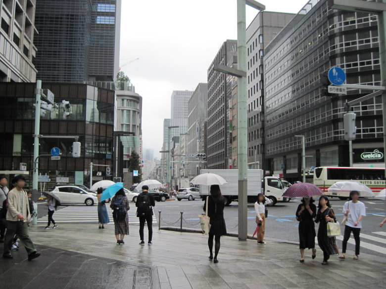
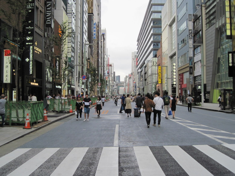
Ginza Chuo-dori Avenue
This is Chuo-dori in Ginza. It is a pedestrian paradise, so the traffic lights are off.
Come to think of it, do they turn off the traffic lights during a marathon?
Psychologically, you don’t want to run when there is a red light, do you?
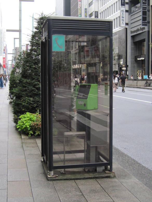
A pay phone in Ginza
There is a pay phone in Ginza!
I was surprised because I had an image that people who come to Ginza always have their phones or cell phones with them, and pay phones are the first place they lose them.

100 Best Roads in Japan Ginza-dori
Ginza-dori has been selected as one of the 100 best roads in Japan.
In the same flower bed where this monument stands, there is a first-class level point [15-001]. No one was paying attention to this monument and the first-class level point. As I was walking slowly, I passed by it once.
Willow II of Ginza
A sign on the wall said, “Ginza no Yanagi Nisei (Willow II of Ginza).” But is this tree really a willow? Is it a new species or subspecies?
Incidentally, I saw several willow trees here and there around the area.
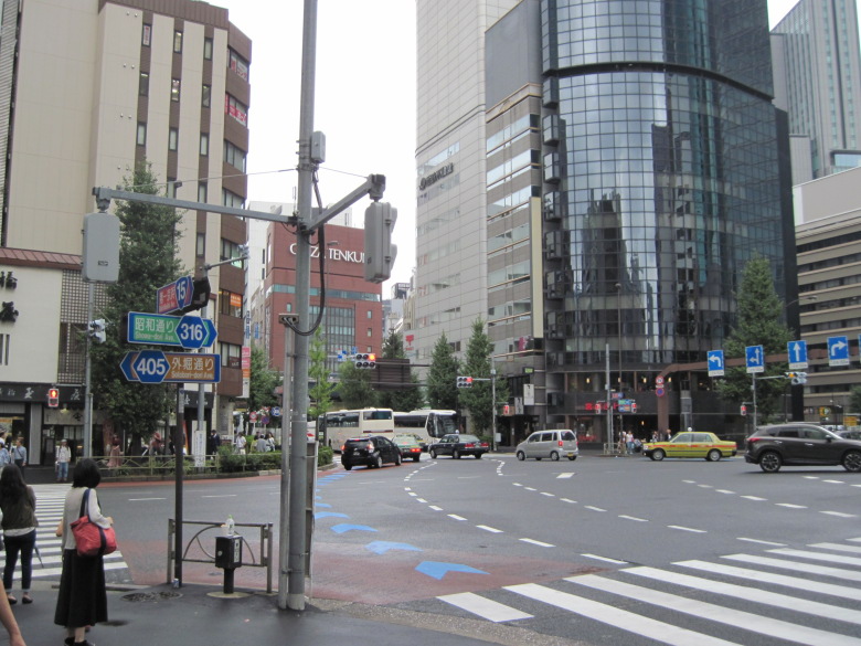
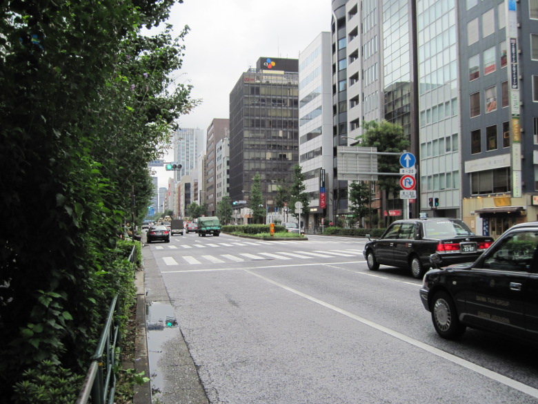
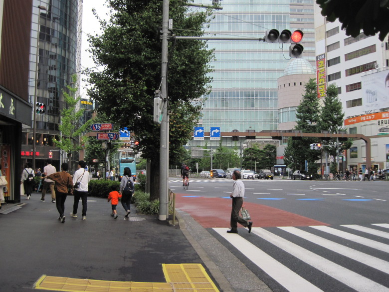
Intersection of Chuo Dori and Sotobori Dori
Turn from the one with the bus in the back (Old Tokaido = Chuo-dori = Route 15) to the one on the left in the photo (Sotobori-dori = Metropolitan Road 405). This is such an important-looking intersection, but there is no intersection name.
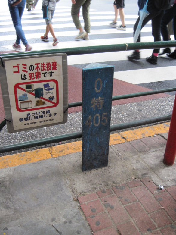
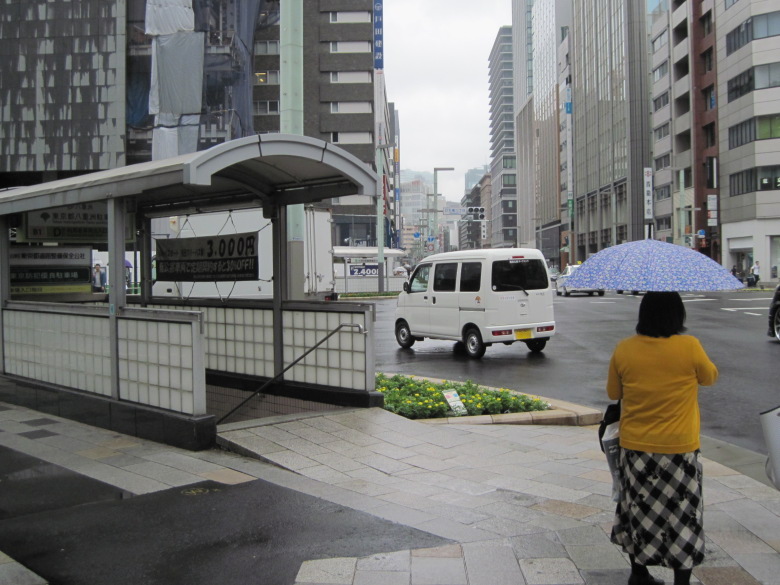
0-kilometer post on Metropolitan Road 405
I found a zero-kilometer post on a metropolitan road under a guard in Shinbashi!
It says “405” on it, so it’s a zero-kilometer post for Metropolitan Road 405. Huh? That’s strange. It says 405 Sotobori-dori at the intersection just now. In the opposite direction, it says Showa-dori 316. In other words, I thought the starting point of the 405 Metropolitan Road was that intersection, but the actual starting point is this 0 km post. So is the distance between the two points a minus distance section of Metropolitan Road 405?
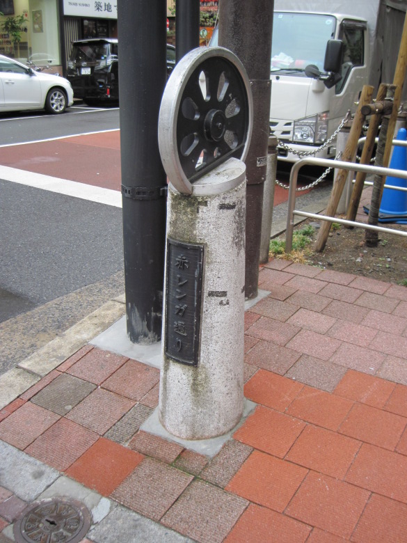
Road name display pillar with a wheel motif
A streetlight with a wheel motif
Near Shimbashi Station, there were streetlights with a wheel motif and pillars displaying road names. The scenery reminded me of the history of the station, which was the starting point for the railroad.
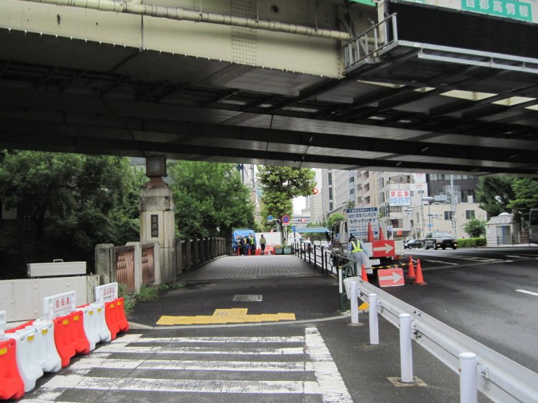
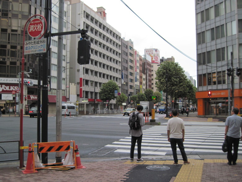
Nishi-Shinbashi intersection
After 500 meters or so, Sotobori Dori becomes the Nishi-Shinbashi intersection, where you turn left onto Hibiya Dori.
By the way, why did we go through Sotobori Dori when the marathon course moved from Chuo Dori to Hibiya Dori? There are thicker streets to the north and south of it, so there must have been other options.
I think it’s because it has the least change in elevation.
The digital elevation topographic map shows that the areas north and south of Sotobori-dori are slightly lower in elevation due to the remnants of Hibiya Inlet. However, Sotobori Street looks almost the same height as Chuo Street and Hibiya Street. I wonder if there was too much momentum when filling in the outer moat, and it was filled in extra.
It’s only a small difference in elevation, but it shows that great care has been taken in designing the marathon course.
Hibiya Street
Hibiya Street runs very close to Tokyo Tower, but you can’t see the tower. It’s like the opposite of the dark under the lamp post.
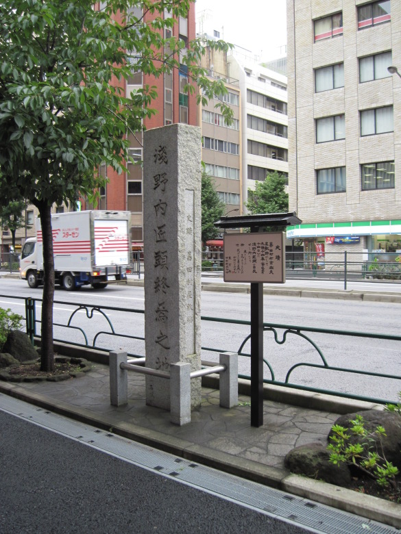
The site of Asano Takuminokami’s demise
Just past the Shinbashi 4-chome intersection, the site of Asano Takuminokami’s demise appears.
In the story of the Chushingura, Asano Takuminokami composed a poem of resignation, “Kaze sasofu hana yori mo naho wareha mata haru no nagori wo ikani toya sen.” This is where the residence of Tamura Ukitayu was located.
In fact, when I traced the footsteps of the Ako ronin, I once visited this place and bought a seppuku (ritual suicide) monaka at the nearby Shinsho-do. I don’t remember the exact taste, but I do remember that it was delicious.
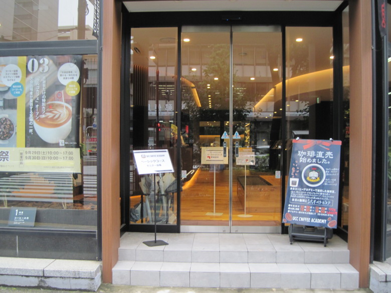
UCC COFFEE ACADEMY
At the intersection in front of the Shiba Post Office, there was the UCC COFFEE ACADEMY.
It looked like a training course for people who want to open a coffee shop, since there were about 15 young-looking people who seemed to be listening intently to the instructor. But it seems that ordinary people can take the course. I like drinking coffee, so I’d like to take this course.
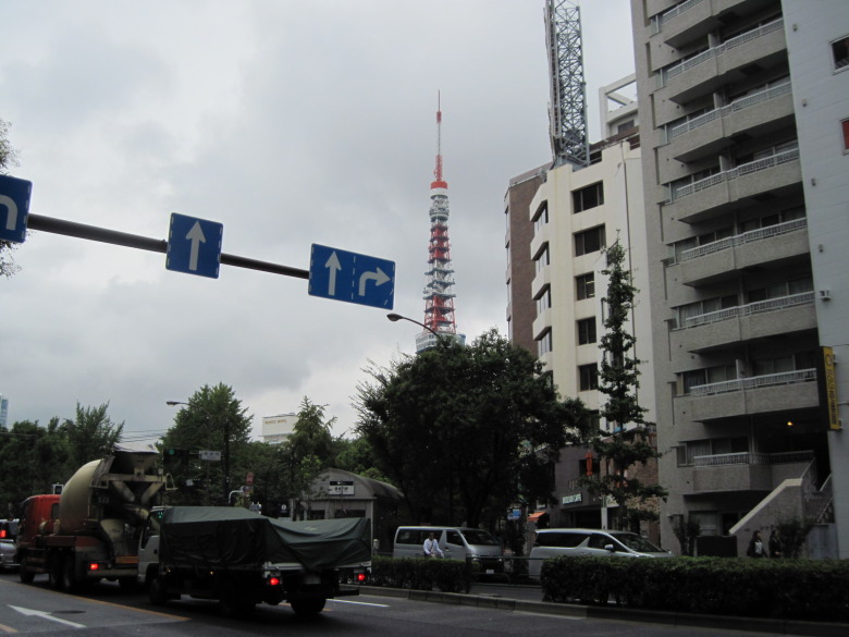
Tokyo Tower as seen from the vicinity of Onarimon Station
When I reached the Onarimon station area, I could finally see the Tokyo Tower.
It looked quite far to the right, so the runners might not notice it.
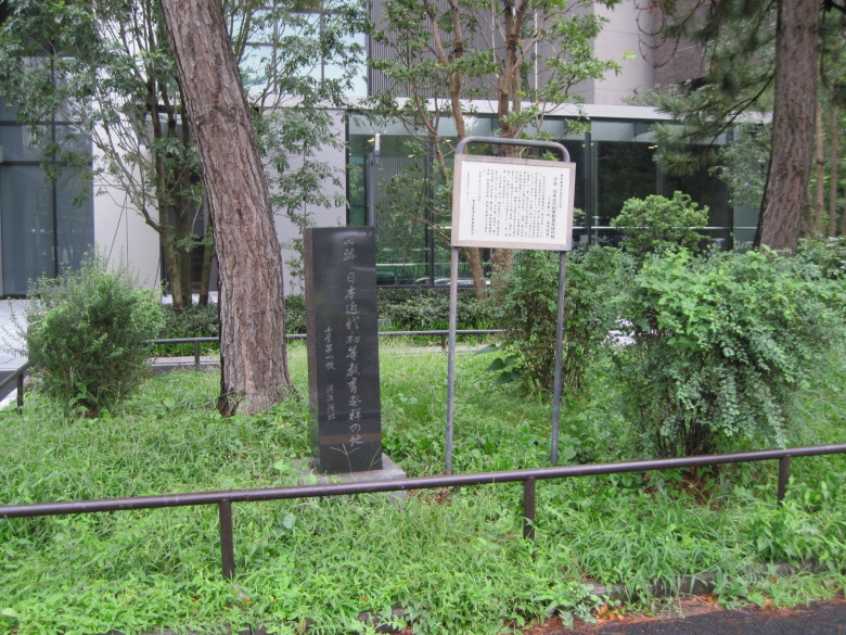
Birthplace of Modern Elementary Education in Japan
Just past the Onarimon intersection, I found a monument to the birthplace of modern elementary education in Japan.
In the third year of Meiji, the first elementary school was established in the Genryuin of Zojoji Temple, where classes in reading aloud, writing, and arithmetic were held. But what was the difference from the Terakoya, which taught reading, writing, and arithmetic? Was it because it was established by the Tokyo Prefectural Government, not by volunteers? Or was it because it was the first to use the name “elementary school”?
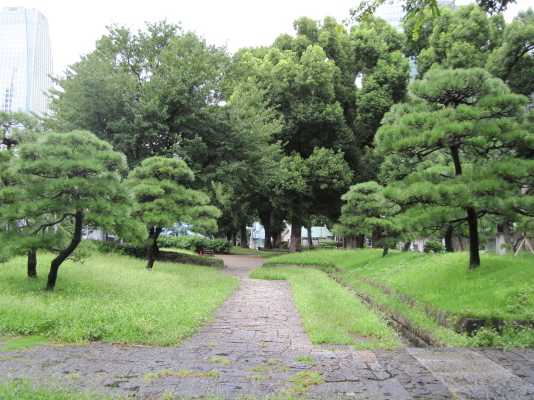
Pine grove
In front of the Minato City Office, there was a pine grove that the metropolitan government had restored after renovating the park. It was the site of a guardhouse from the Edo period, and the pathway was in the shape of a key.

Sangedatsumon Gates of Zojoji Temple
This Sangedatsumon is the gate to liberate oneself from the three vexations of greed, anger, and stupidity. It was used as an observatory during the Edo period. It is now designated as an important cultural property of Japan.
The recent typhoon caused roof tiles to fall, and visitors were warned not to approach the gate until it was safe to do so.
Shibazonobashi bridge
The turnaround point is near the Sangedatsumon gate, but since it was a good opportunity, I decided to go to Shibazonobashi bridge to see the Furukawa river (Shibuya river).
Furukawa river (Shibuya river)
It rained yesterday, so there was a lot of water. Judging from the color of this water, Shibuya seems to be grinding away today.
Near the Hibiya Street turnoff
I crossed Hibiya Street and turned around. I guess the real marathon turnaround point is around where the truck is running in front of us. My impression is that there is quite a lot of greenery in this area.

Peace light
I don’t come to Shiba Park very often, so I decided to take some time to visit.
First was the Peace Light. It was set up in 2005 by Minato City to commemorate the 20th anniversary of its declaration as a city of peace.
It is said to be a combination of Hiroshima City’s “Peace Light” (religious fire and industrial fire), Hoshino Village in Fukuoka Prefecture’s “Peace Light” (leftover fire from the Hiroshima atomic bombing), and Nagasaki City’s “Fire of Commitment” (lit at Olympia Hill).
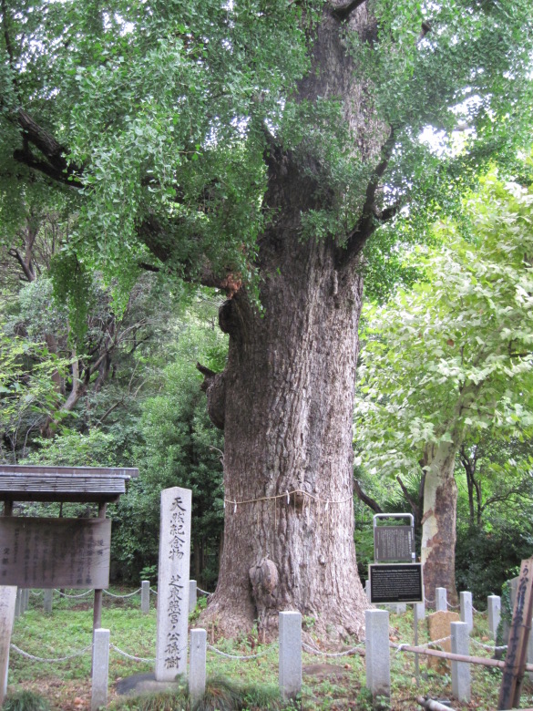
Ginkgo in Shiba Toshogu Shrine
Next is the ginkgo tree at Shiba Toshogu Shrine, said to have been planted by Tokugawa Iemitsu. It became a national natural monument in 1930, and after its removal in 1952, it became a natural monument of the Tokyo Metropolitan Government in 1956.
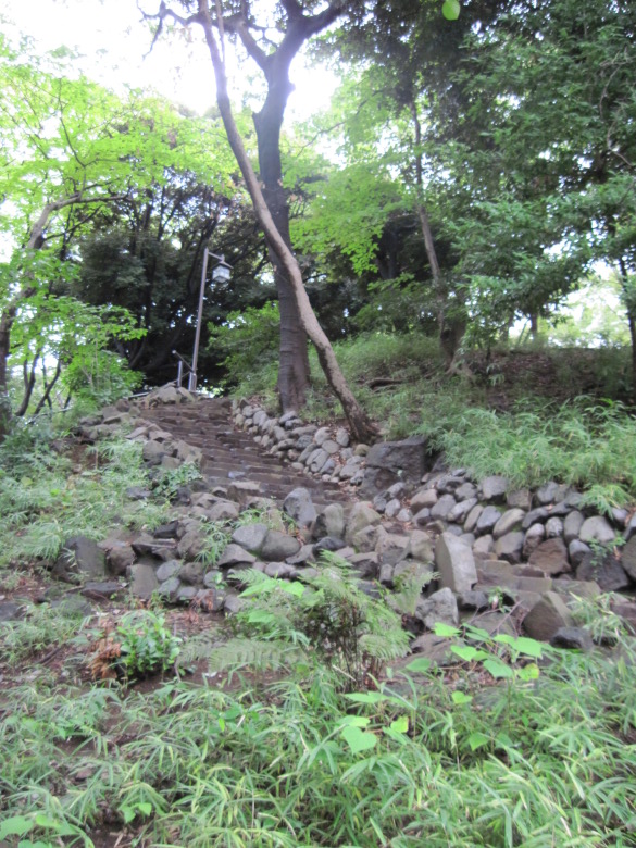
Stairs at the back of Toshogu Shrine
Further up here…

Monument for Ino Tadataka’s geodetic surveying service
There is a monument for Ino Tadataka’s geodetic surveying service.
I remember reading a document more than 10 years ago that said the reason why it was placed here was because “he practiced here before going on a surveying trip. But I can’t remember where it was written, and a quick Google search turns up very little on that theory. Instead, most of the articles say that it is because of its proximity to Takanawa-Okido, the starting point of the survey. However, Takanawa-Okido is less than two kilometers away from here in a straight line, so it doesn’t seem that close. Besides, there seems to be enough space around Takanawa-Okido to set up a testimonial chart. If only Tokyo Chigaku Kyokai had written the reason for the location on the monument, I wouldn’t have had to worry about it.
By the way, is the reason why the northern edge of Hokkaido is marked with a dotted line because Tadataka did not survey it?
25km point
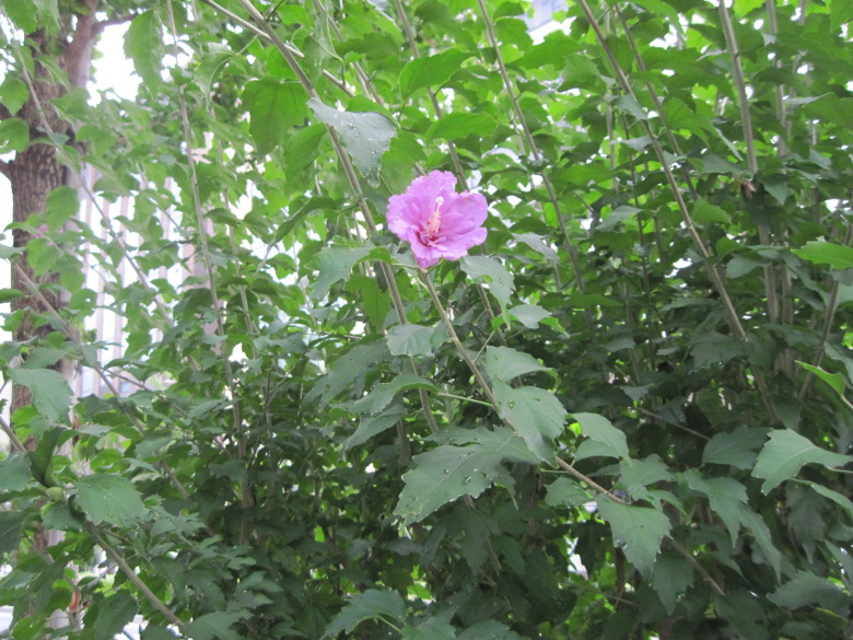
Mallow
When I returned to Hibiya Street, I found mallow flowers in bloom.
I thought they were planting mallow because of its connection to Tokugawa, but the shape of the leaves was clearly different from the crest. It seems that the hollyhock of the Japanese crests is a kind of mallow, which is not a member of the mallow family, but belongs to the horse mallow family.
Nishi-Shinbashi intersection
Again, turn at the intersection of Nishi-Shinbashi.
Unnamed intersection
I also turn at an unnamed intersection.
Chuo Dori
I returned to Chuo Dori.
27km point

The Ginza 4-chome intersection
Next time, it would be boring to start walking from the same Nihonbashi again, so I turned at the Ginza 4-chome intersection where Wako is located and went back from Yurakucho Station.
Walking data
Course: JR Sobu Line Shin-Nihonbashi Station -> 20km point -> 27km point -> JR Yamanote Line Yurakucho Station
Distance: 12.6km
Time: 3h1m


![[15-001]](https://miscellaneous.tokyo/strolling/wp-content/uploads/sites/5/2017/12/IMG_6507.jpg)