
“Hana,” composed by Taki Rentaro with lyrics by Takeshima Hagoromo, is based on the Sumida River.
As the cherry blossoms were in full bloom, I decided to go and see the scenery where “Hana” was born.
Long lines at the tram stop
Since I had walked along the Sumida River from Iwabuchi Suimon to Toshima-bashi last time, I decided to continue my walk.
I felt like riding the tram, so I decided to take it from Machiya to Odai and walk from there.
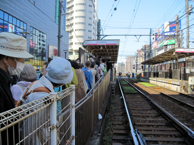
Machiya Station Tram Stop
A long line of people at the Machiya. That’s true. It’s because the cherry blossoms at Asukayama in Oji are at their best.
While I was thinking that I should have taken the tram from Oji, or that it would be faster to walk one station east and take the tram from Arakawa 7-chome, the tram bound for Arakawa Shako-mae, which doesn’t go to Oji, arrived, and I boarded the tram with many people in the background.
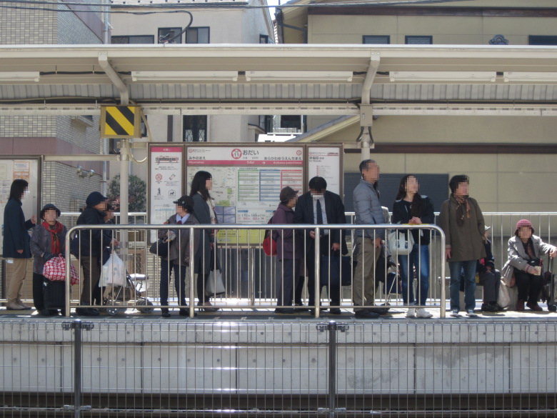
Odai Tram Stop
There is a long line even at the Odai. At this rate, the train near Oji is going to be as packed as a commuter train.
From Odai, I headed north. I crossed the Sumida River once at Kodai Bridge and continued until I hit the bank of the Arakawa River.
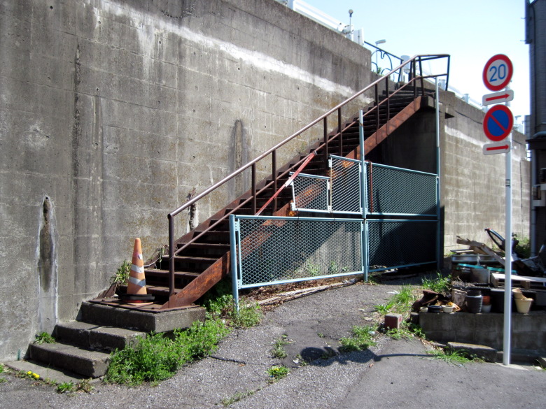
Blocked stairs
We wanted to walk on the embankment for a better view, but all the stairs were blocked off. This staircase also had colored cones at the bottom and a guard at the top. I wondered if this was to prevent traffic accidents.
Are there more cherry blossoms on the right bank of the Sumida River?
Toshima Bridge
I turned left on Tokyo Route 307 and came to the Toshima Bridge. From here, I walked along the Sumida River.
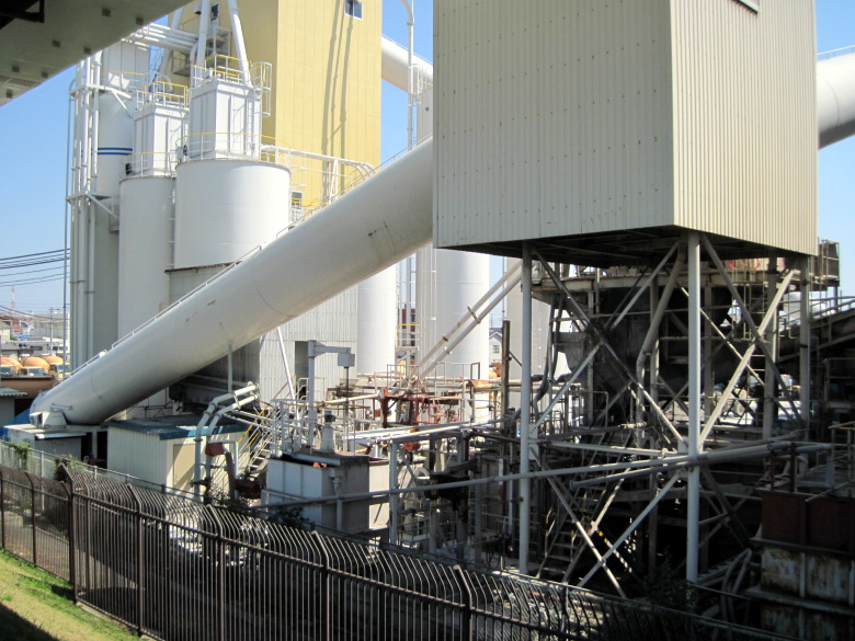
Concrete Plants
A concrete plant appeared on the left. I wonder if the plant was built here in the past to transport raw materials using the Sumida River. Incidentally, there is no facility for loading and unloading now, and it seems to be transported by truck.
Cherry blossoms at the Miyagi Water Reclamation Center
Today, for the first time, I saw a large number of cherry trees. These are the cherry trees at the Miyagi Water Reclamation Center.
Cherry blossoms near Odai Park
Next is the cherry blossoms near Odai Park.
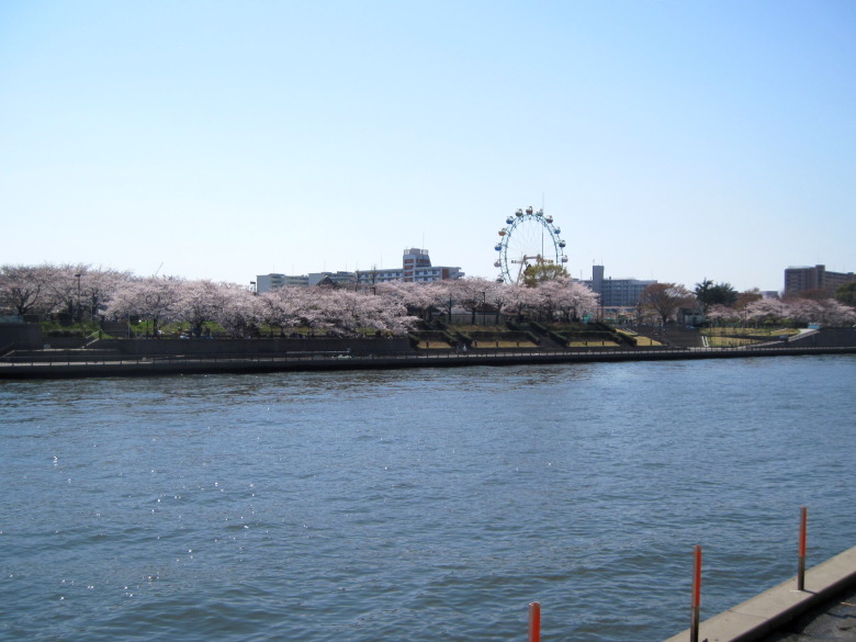
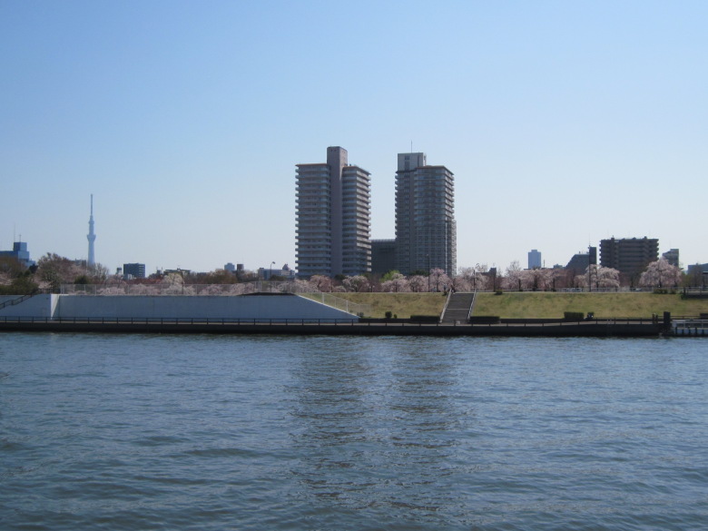
Cherry blossoms at Arakawa Park
I could see Arakawa Park on the other side of the Sumida River. There are many cherry blossom trees. I would like to see what the view would be like from that Ferris wheel.
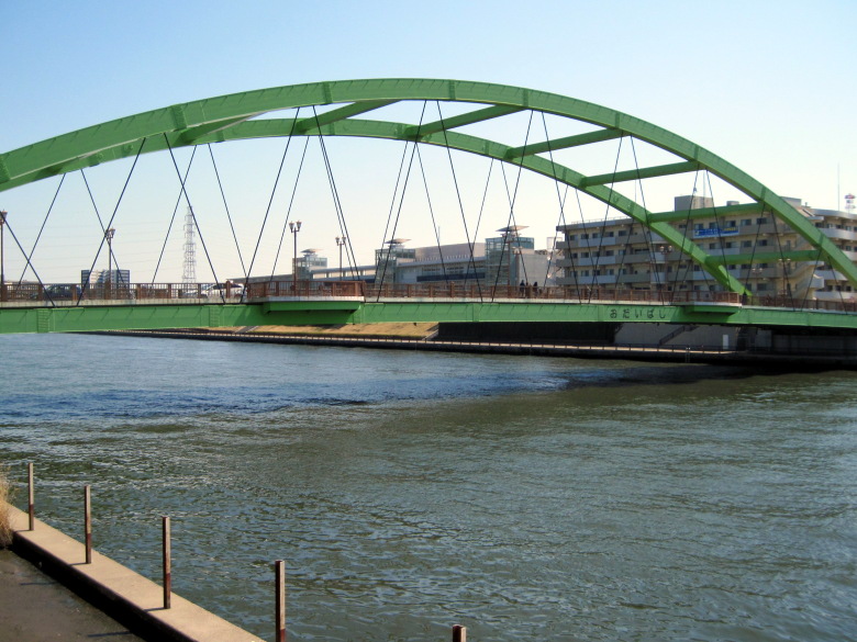
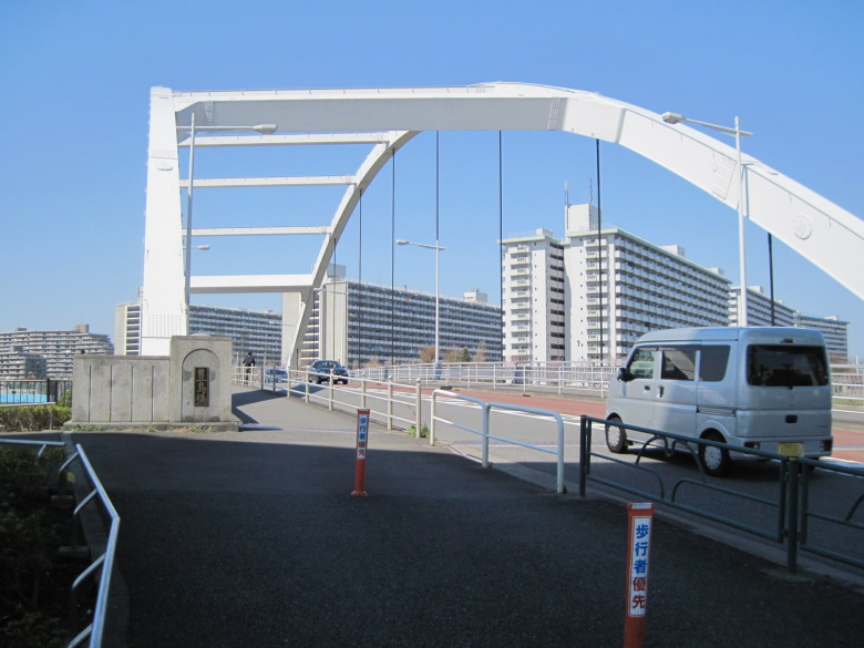
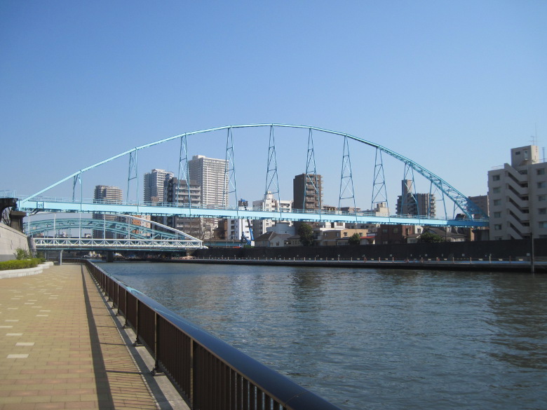
Odaibashi Bridge
In fact, the Odai Bridge I just passed. I’ve heard that there are many different types of bridges along the Sumida River, but upstream, there are only lower road arch bridges. I’d like to see other kinds of bridges.
Cherry blossoms in Ogu-no-hara Park, Tokyo
A little past the Nippori-Toneri Liner’s Adachi Odai station, you can see a lot of cherry blossoms on the other side of the river. I guess it’s Ogu-no-hara Park. It seems that there are more cherry trees planted on the right bank than on the left bank. I should have walked along the other bank.
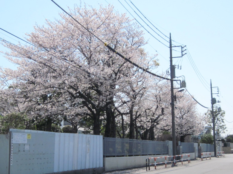
Cherry blossoms near Otakebashi Street
Near Otakebashi Street, there were several trees in bloom because of the address Senju Sakuragi.
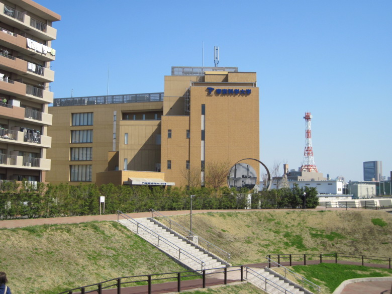
Teikyo University of Science
I could see the letters Teikyo University of Science. You can also see a ring of Obake Entotsu (haunted chimneys).
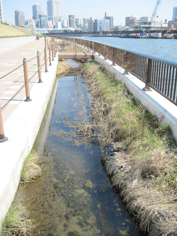
Miniature mud flat
I looked at my feet and saw a miniature mud flat. A water bird was pecking at something. I wondered if they were gobies or something. For some reason, there was also a pigeon.
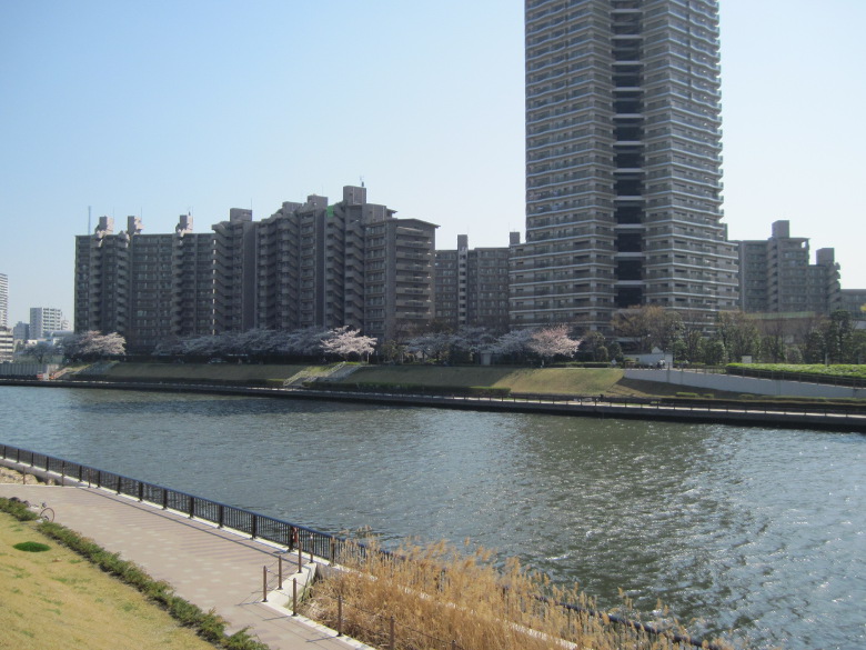
Cherry Blossoms in Acrocity
There was another place where I could see many cherry trees on the other side of the river. It looks like a big community called Acro City.
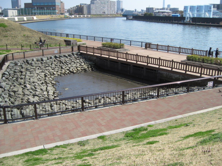
Waterfront Ecotone
Now a wetland type of waterfront appeared. It was named Ecotone. I walked slowly and tried to look for creatures, but could not find any birds or fish.
Discovering the old Sumida River seawall
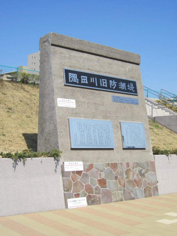
Sumida River seawall
Not far from Ecotone, I found the old Sumida River seawall!
The old seawall is no longer in use, as the super embankment that is currently in operation was completed in March 2009. However, the old embankment has been preserved for posterity to protect the surrounding area from the winds and heavy rains.
As a past tide level, I found that it was 3.89 meters above sea level during the Ise Bay typhoon. However, this value is the tide level in Aichi Prefecture, not the one observed in Sumida River. The highest tide level in Sumida River seems to be 2.42m above sea level (typhoon No. 20 in 1979), which is indicated on the border of concrete and stone wall. There is quite a bit of leeway, which is a little reassuring.
The embankment is thin at the top and thick at the bottom. I guess it’s natural, since they are subject to water pressure.
Tokyo Electric Power Transmission Bridge, etc.
I was able to take some interesting pictures of the Senju Bridge, which was also close by.
The reason for this is that the bridges you see have different purposes. From the front, the TEPCO power transmission bridge, the Senju water pipe, and the Senju Bridge. But they are all the same kind of arch bridge.
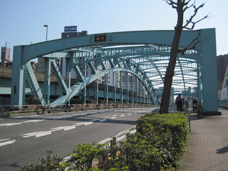
Senju Bridge (Old Bridge)
I crossed the old Senju Bridge for the first time.
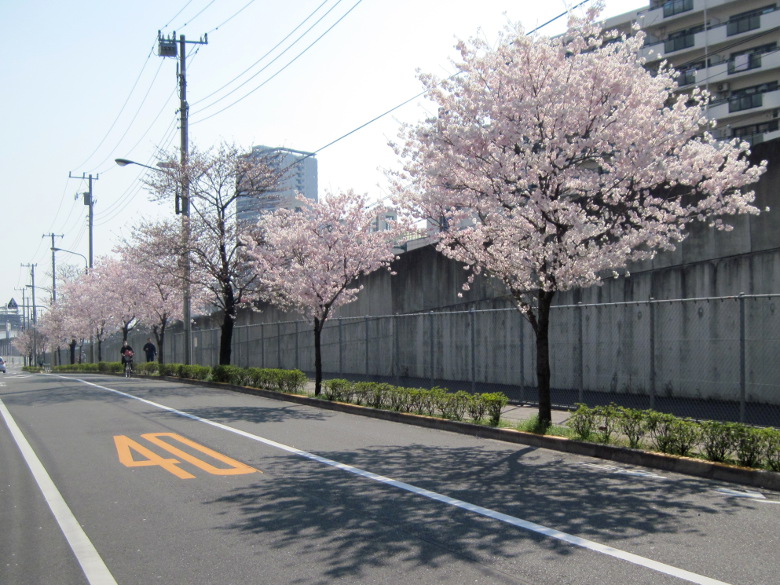
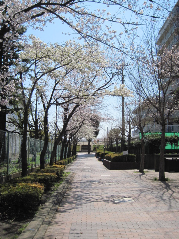
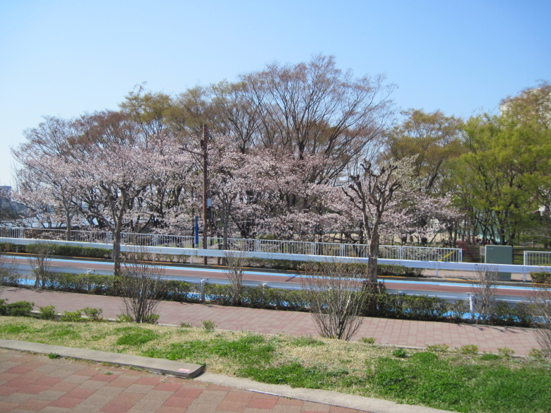
Cherry blossoms between Joban Line and Hibiya Line
I walked along the road between the Joban Line and the Hibiya Line towards Minami Senju. The cherry blossoms here were the most beautiful on my walk today.
Walking data
Course: Tokyo Metropolitan Transportation Bureau Toden Arakawa Line Odai stop -> Sumida River -> JR Joban Line Minami Senju Station
Distance: 12.0km
Time: 3h1m


コメント