
Uguisudani
Continuing from last week, I will walk along the 3rd Ring Road.
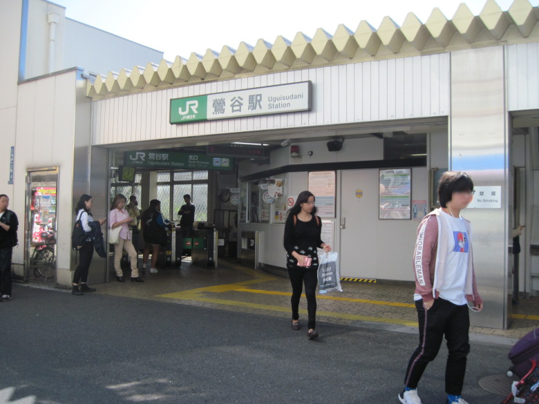
Uguisudani Station North Exit
Departure is from Uguisudani Station.
The platform at Uguisudani Station is always less crowded. However, there were unexpectedly many people at the north exit.
Since I was planning to walk from the Iriya intersection, I detoured to avoid Kototoi-dori (Loop Route 3), which I would have to walk later.
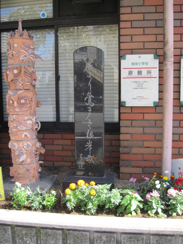
Monument of Masaoka Shiki
On the way, I found a monument to Masaoka Shiki’s haiku in front of Negishi Elementary School. It reads, “There are more nightingales than sparrows in Negishi. As one would expect from a place called Uguisudani, there really were many nightingales in the old days.
Today, we did not see any sparrows or nightingales.
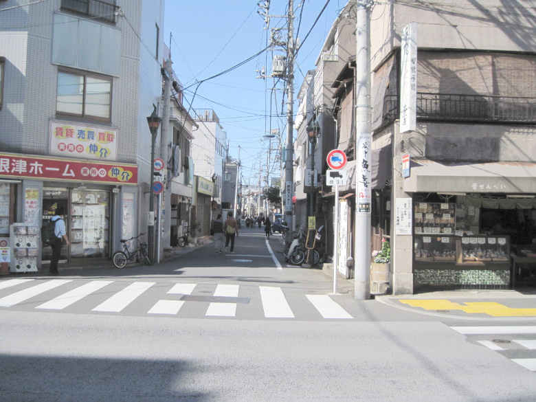
Iriya
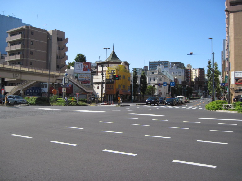
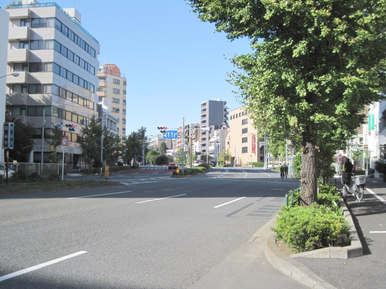
Iriya Intersection
This is the Iriya intersection.
The hexagonal-roofed building is Seirenji Temple, and Kishibojin (Shingenji Temple) is located next to it.
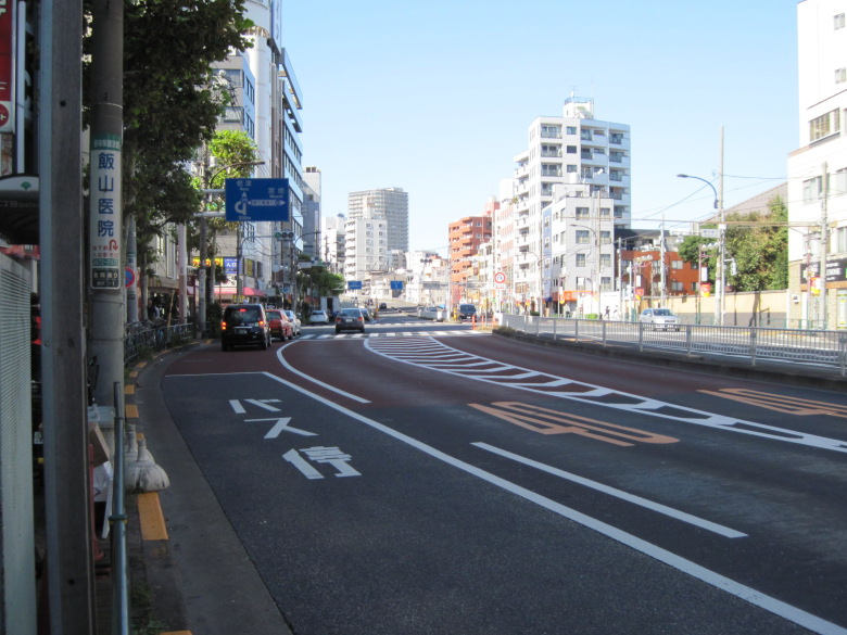
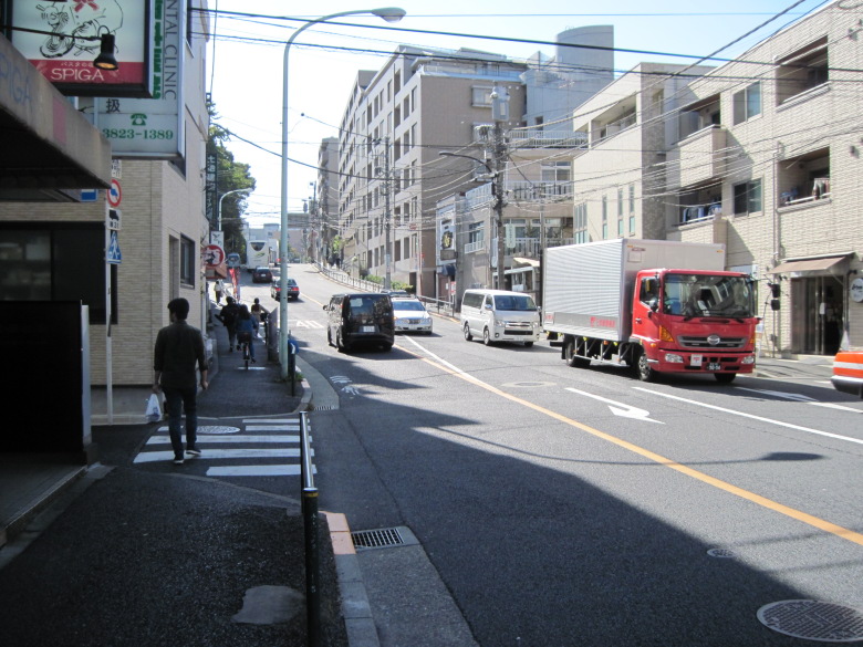
Kototoi Street approaching Kan-eiji-zaka
Kototoi Street must climb up Kan-eiji-zaka from here toward the Ueno plateau. The left curve at the back is the beginning of the climb. Before that, the street seems to curve to the right once to make a gentle left curve.
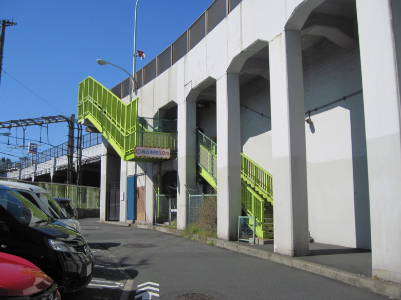
Pedestrian stairs by Kan’eiji-zaka
Pedestrians use these stairs to climb Kan-eiji-zaka and cross over the JR tracks.
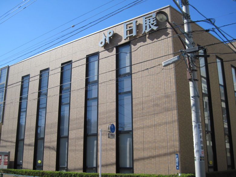
Nitten building
Found the Nitten building! It is called Nitten Kaikan, and they are in the business of renting out art schools, galleries, and conference rooms. It would be a great honor to hold an exhibition in such a place.
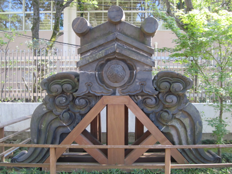
Kan’eiji Temple
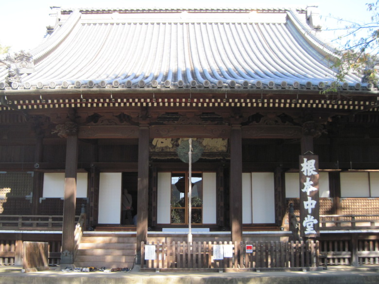
Kan’eiji Nemoto-chudo Hall
With the opportunity of climbing Kan’eiji-zaka, I decided to pay a visit to Kan’eiji Temple.
Kan’eiji Temple was built by the great priest Tenkai and is a family temple of the Shogun family. It was my first time to visit.
The inside of the hall is open to visitors. It is very glittering. A VTR was playing to introduce the temple, and about 10 people were sitting and watching it.
-
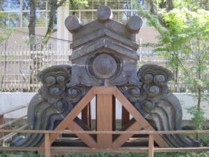
- Demon tile of Nemoto Chudo
-

- Old main gate demon tile
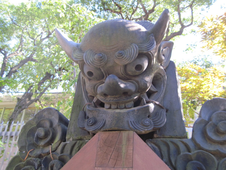
What caught my eye in the precincts of the temple were these devil tiles. The crest of hollyhock is specially and carefully made. They must have been made with a lot of tension because failure is not allowed. The ogre seems to have two canine teeth.
Yanesen
Loop Route 3 has not yet been constructed from the Kan-eiji Temple area to the Koishikawa Botanical Garden area. Therefore, you can walk wherever your feet take you. For the time being, I will continue to walk along Kototoi-dori.
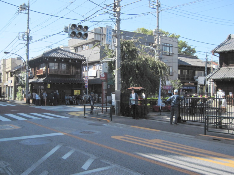
Uenosakuragi Intersection
Around the Uenosakuragi intersection, the real Yanesen area began and the number of people suddenly increased. I sometimes feel like eating Ogyochi, which is located about 50 meters to the right of the intersection here. Ogyochi is a jelly that originated in Taiwan.
A place related to the excavation of Yayoi style earthenware
大昔の石神井川に起因する下り坂
If you proceed while looking at the numerous temples that appear on your right, you will reach a downhill slope. This is due to the fact that the flow of the Shakujii River in ancient times passed under this slope and flowed toward Shinobazu Pond.
The road leading to the snake trail passes over the culverted Aizome River
This is the point at the bottom of the hill. The Shakujii River, which in ancient times had a low flow, became known in modern times as the Yata River upstream and the Aizome River downstream, and in modern times is culverted and flows under this road. From this point, a 400-meter walk upstream (northwest) leads to a winding snake path.
Uphill caused by the Shakujii River in ancient times
Since I am crossing a valley, the next step is naturally uphill.
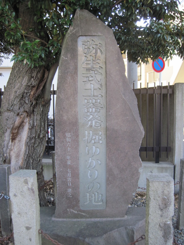
Yayoi Pottery Excavation Site
Just up the hill, we found the “Yayoi Earthenware Excavation Site”!
Just as the four great civilizations originated near the great rivers, the Yayoi culture must have originated near the Aizome River. It must have.
Now that we were 500 meters south of the straight line connecting Kan’eiji Temple and the Koishikawa Botanical Garden, I decided to head north on Hongo Street from the intersection of Hongo Yayoi.
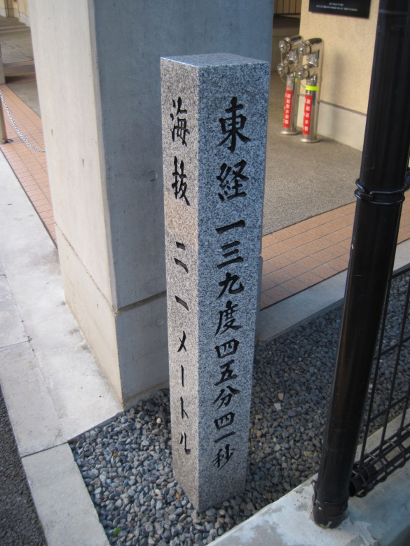
Stone markers indicating longitude and latitude and elevation
A stone marker indicating longitude and sea level stood near Bunkyo Ward No. 6 Junior High School.
The longitude is 139 degrees, 45 minutes, and 41 seconds east. But my GPS was 139 degrees, 45 minutes, and 29 seconds. The difference is 12 seconds (less than 310 meters in length). Why?
I found the answer on the GSI’s website. The difference in longitude between the Japan Geodetic System and the World Geodetic System is about 12 seconds. It is exactly right. In other words, the stone marker was surveyed using the Japan geodetic system and the GPS used the world geodetic system. The Japanese geodetic system was used until 2002, so this stone marker was built before that.
Hakusansita
Hakusanshita Intersection
After passing through a narrow street, I came to the intersection Hakusanshita.
I saw a city map here and decided to go to a certain place.
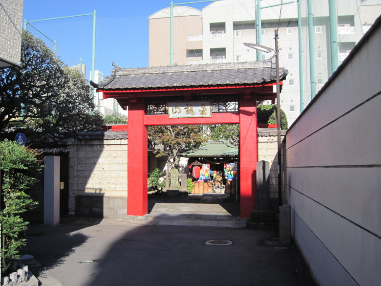
Enjo-ji Temple
That’s what I’ m talking about here.
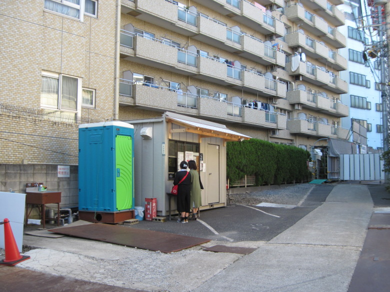
What are the two women doing?
In fact, they are receiving a red seal from Enjo-ji Temple, which is building a new ossuary.
Enjo-ji Temple is famous for the grave of Yaoya Oshichi. The grave is on the left side of the construction path on the right.
Horoku no Jizoson at Daienji Temple
I also visited this place. This is the Horoku no Jizoson at Daienji Temple, which is said to be the Jizo who suffered to save Oshichi from her sinful karma.
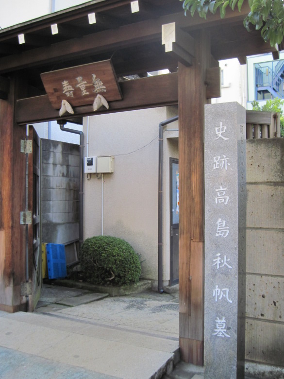
Historic Site Takashima Shuhan Tomb
But the real reason for my visit to Daienji Temple was to see the tomb of Takashima Shuhan, a historical site. Takashima Shuhan was a Western-style artillerist and the founder of Takashima-ryu gunnery. Can you tell us what kind of person he was, the master of Egawa Tarozaemon who built Odaiba?
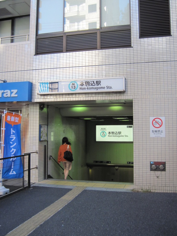
Honkomagome Station
It took me a long time to find the Daienji temple, so I went straight home from Honkomagome station today.
Walking data
Course: JR Keihin Tohoku Line, Uguisudani Station -> Loop Route 3 (Iriya to Hakusan-shita) -> Tokyo Metro Namboku Line, Honkomagome Station
Distance: 8.8 km
Time: 2h38m

