Area with many ups and downs
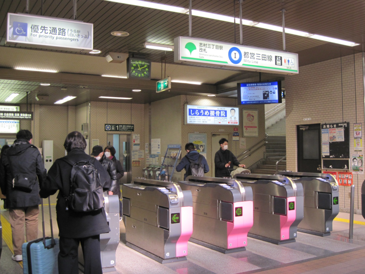
Shimura 3-chome Station
Today we will walk from Shimura 3-chome to the continuation of Kanpachi (Ring Road 8).
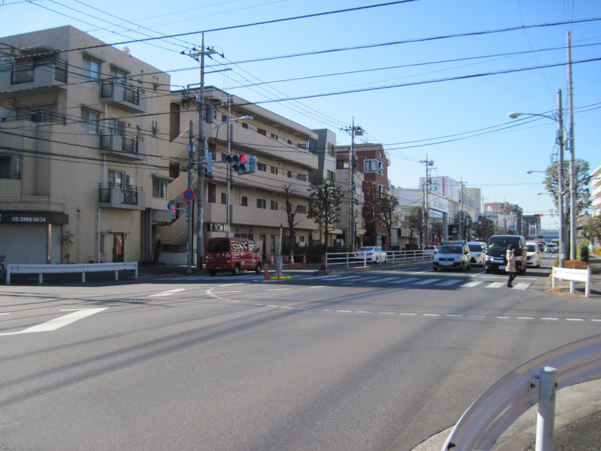
Intersection with Onarizuka Street
Enter the Kanpachi at the intersection with Onarizuka Street.
This intersection is disaster-resistant. In the event of a major earthquake, there is an auxiliary signal to control the flow of general vehicles toward the city center. Sorry it is hard to see in the photo.
There seems to be one at Kannana as well, but I did not notice it because I do not see car signals on foot very often.
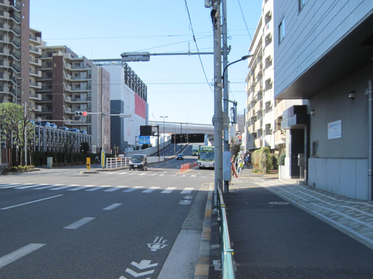
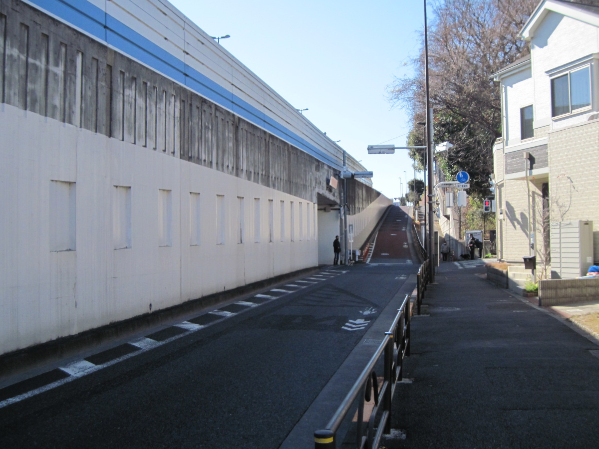
Tunnel entrance near under the Kanpachi Expressway
After walking about 800 meters, I saw the roadway enter a tunnel. I wondered if it was going to go underground, but it soon emerged. It appears that the tunnel just goes under the Metropolitan Expressway No. 5. Is it to avoid falling objects from the Metropolitan Expressway?
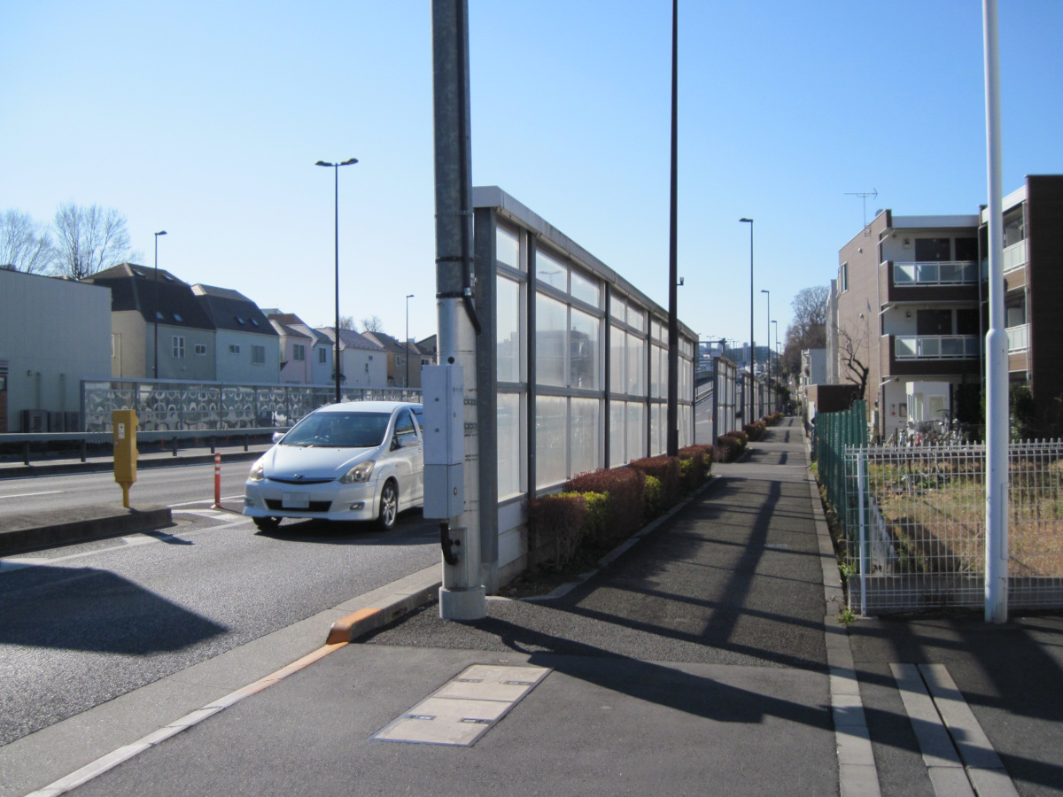
Noise barrier
According to Wikipedia, this was the last section to be opened in this area, 16 years ago in May 2006. The road is now equipped with a soundproof wall, probably due to the noisy environmental problems.
On either side is a high plateau, so it feels like you are walking on the bottom of a valley. There may be a culvert parallel to the road.
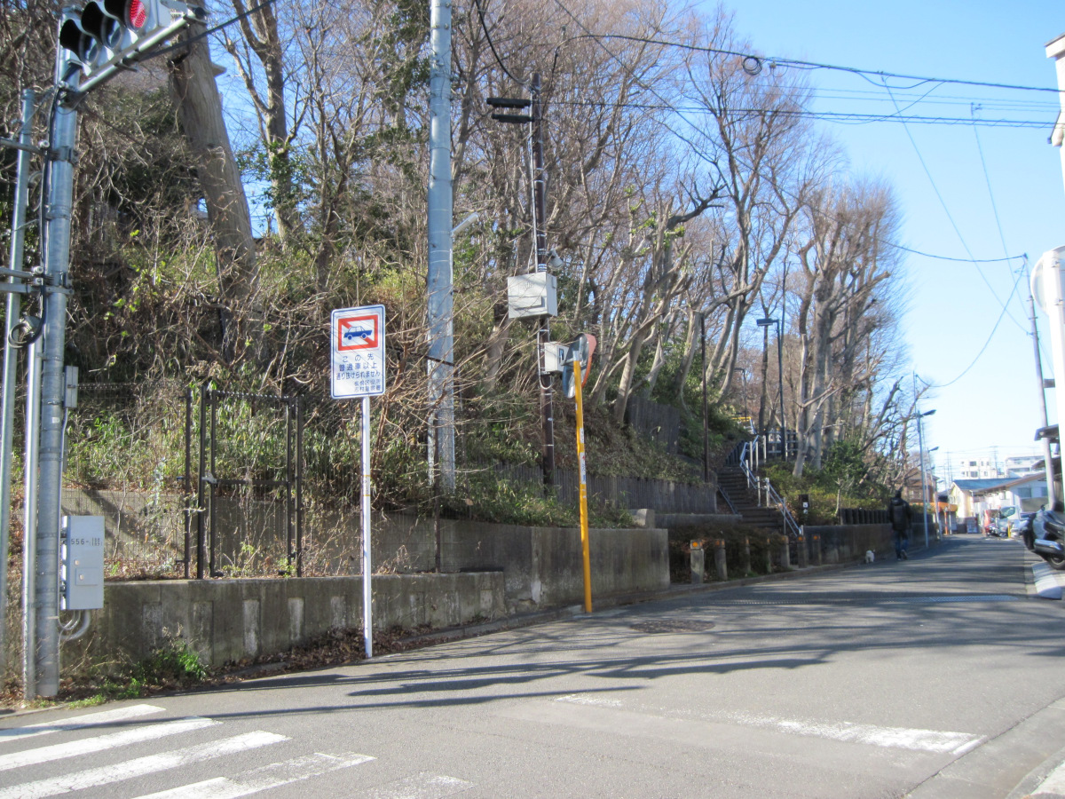
Steep slope near Nishidai Park
The elevation increases by about 30 meters at a stroke.
The roadway is elevated to avoid steep grades.
Itabashi Nishidai Park
Itabashi Nishidai Park.
I could see a bit of playground equipment. I found out that there is a long slide when I got home.
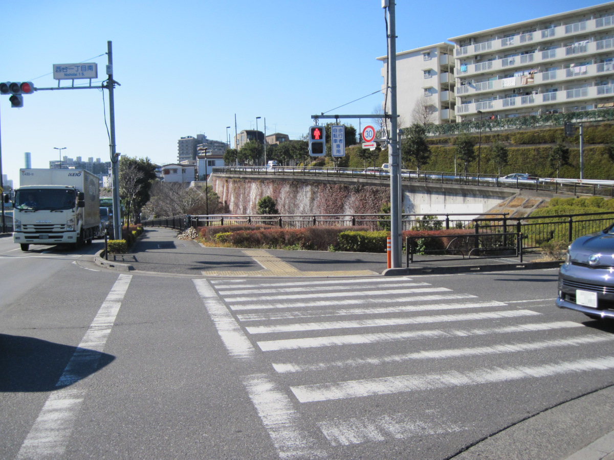
Complex topography near Nishidai 1-chome-minami intersection
The complex topography of the area shows the difficulty of getting the main road through.
The Kanpachi itself has ups and downs, and then intersects with the road that came along the edge of the cliff.
One road also passed under the cliff.
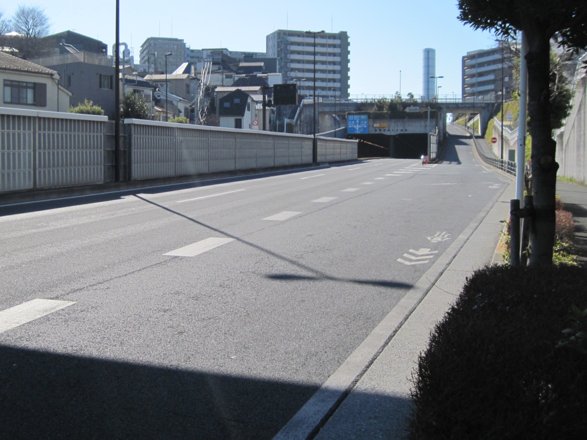
Entrance to Kitamachi Wakagi Tunnel
The roadway also enters a tunnel (Kitamachi Wakagi Tunnel).
The tall building above the tunnel is the Kitamachi Wakagi Ventilation Station, which ventilates the tunnel.
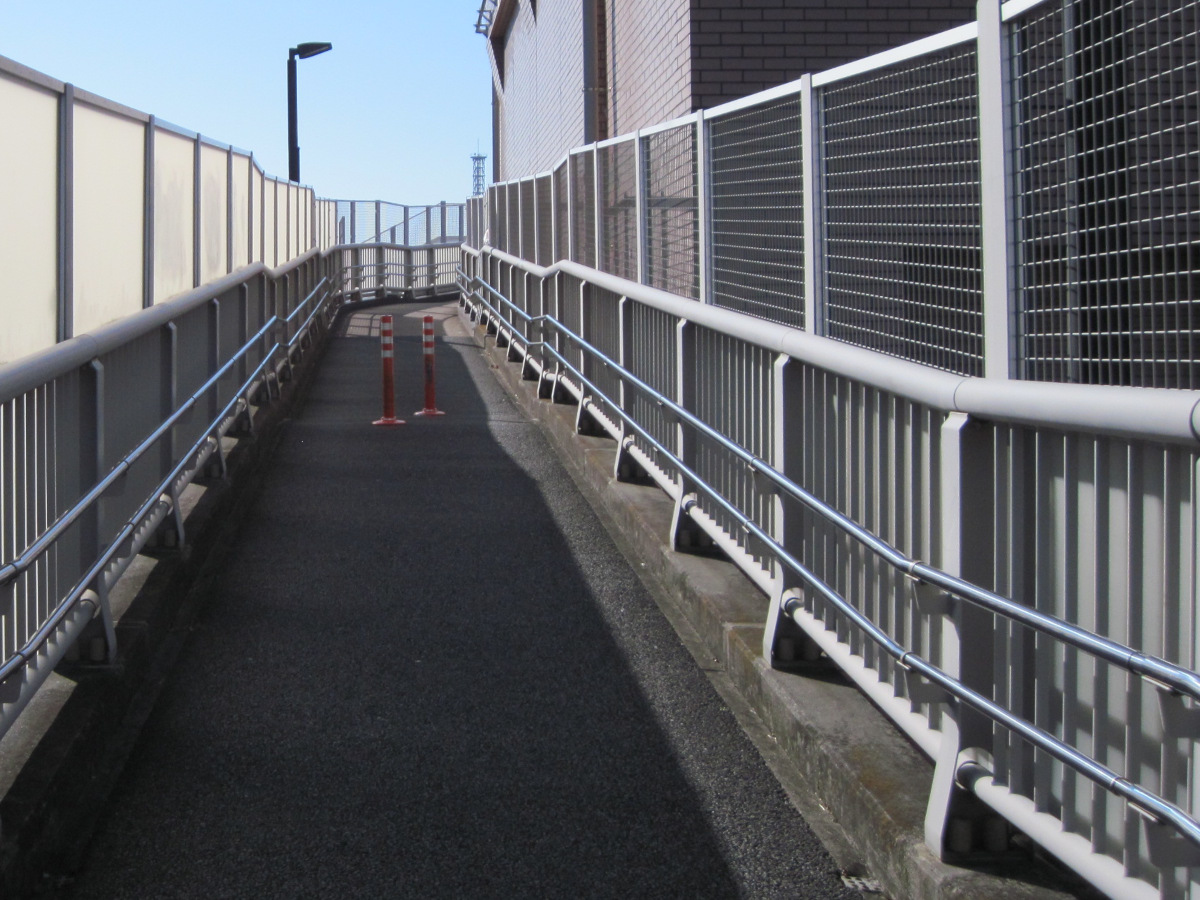
Pedestrian bridge by Kitamachi Wakagi Ventilation Station
Continue on the pedestrian bridge by the ventilation station.
The bridge is blindfolded so you cannot see out. Is this for privacy? You may feel a little oppressive.
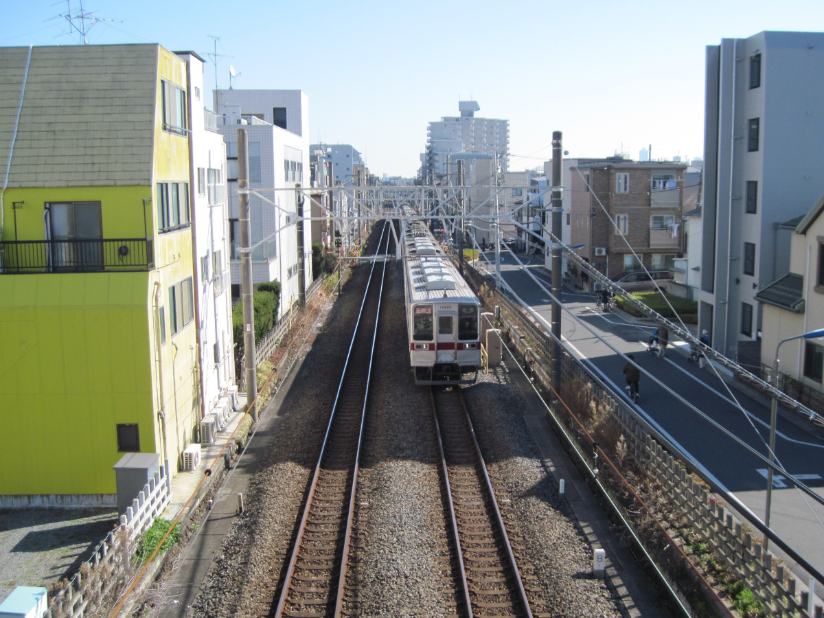
Tobu Tojo Line
The pedestrian bridge goes over the Tobu Tojo Line. I happened to be able to photograph a passing train.
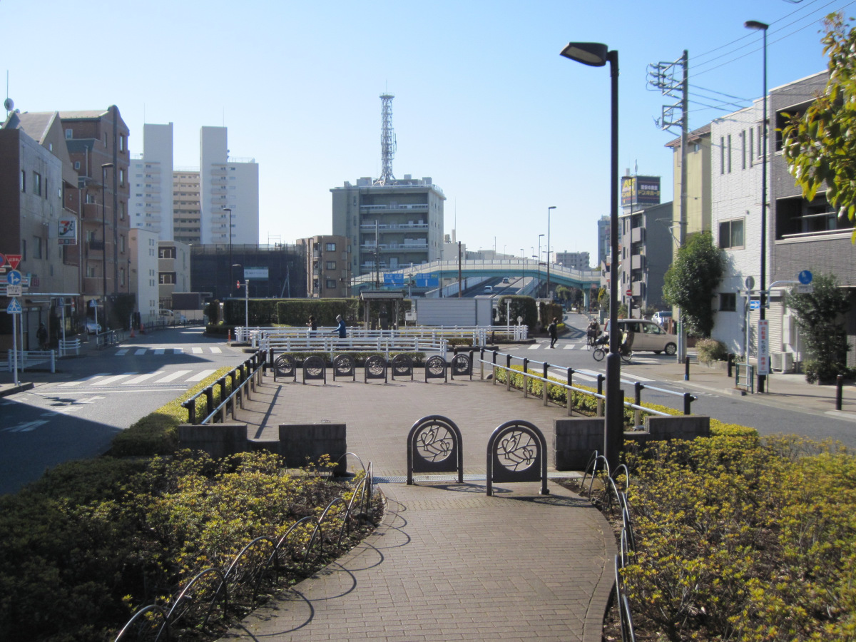
Kanpachi seen in the distance
When I get off the pedestrian bridge, I cannot see the Kanpachi. Have you lost sight of it?
I don’t hear any cars.
Looking closer, I saw the Kanpachi coming out of the tunnel in the distance.
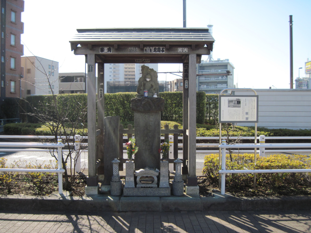
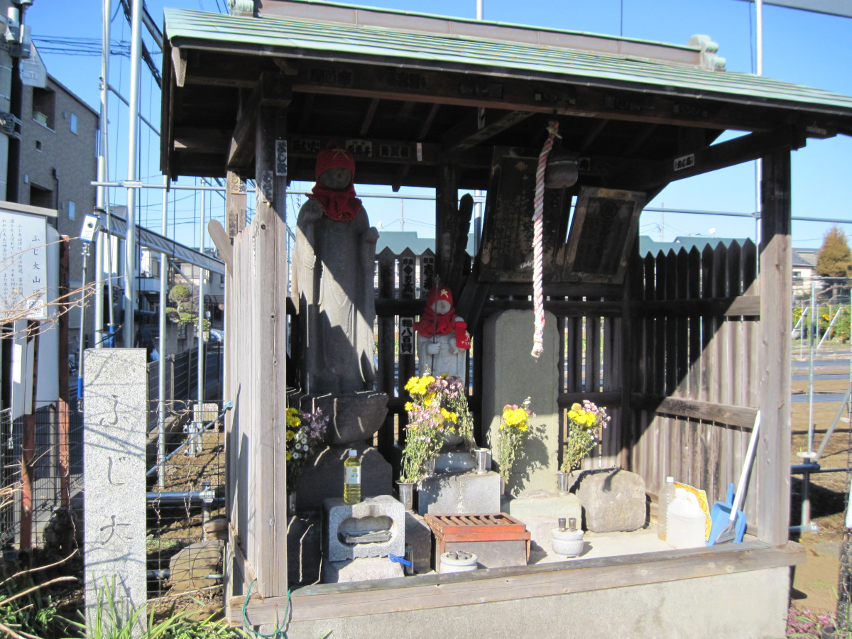
The Oyama Road Signpost and the East Koya Mountain Signpost
Just before the tunnel exit, it intersects with the old Kawagoe Highway. There, you will find the Oyama Road Signpost and the East Koya Mountain Signpost. They are roofed to prevent weathering.
When taking a walk, one often encounters the Oyama road. It must have been immensely worshiped in the past. Next time I have a chance to visit Kanagawa Prefecture, I would like to see the mountain.
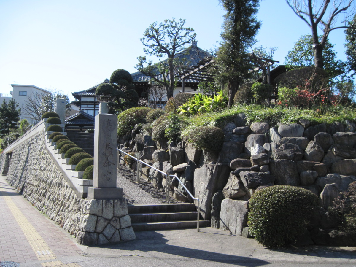
Higashi-Koyasan is Chomei-ji Temple, and the temple complex is modeled after Koyasan in Kii.
When I got home, I looked at the map and found that it faced the Kan-nana highway. When I walked along Kannana about two years ago, I remembered that there was a magnificent temple at the intersection with Route 254. That was Chomeiji Temple.
Discover the JGSDF Nerima Garrison!
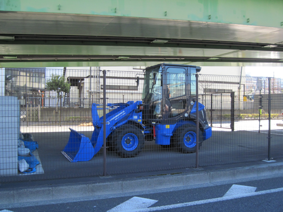
Road Disaster Prevention Station
It intersects with Route 254 at the Nerima-Kitamachi overpass. Underneath is a road disaster prevention station. Shiny small bulldozers were deployed.
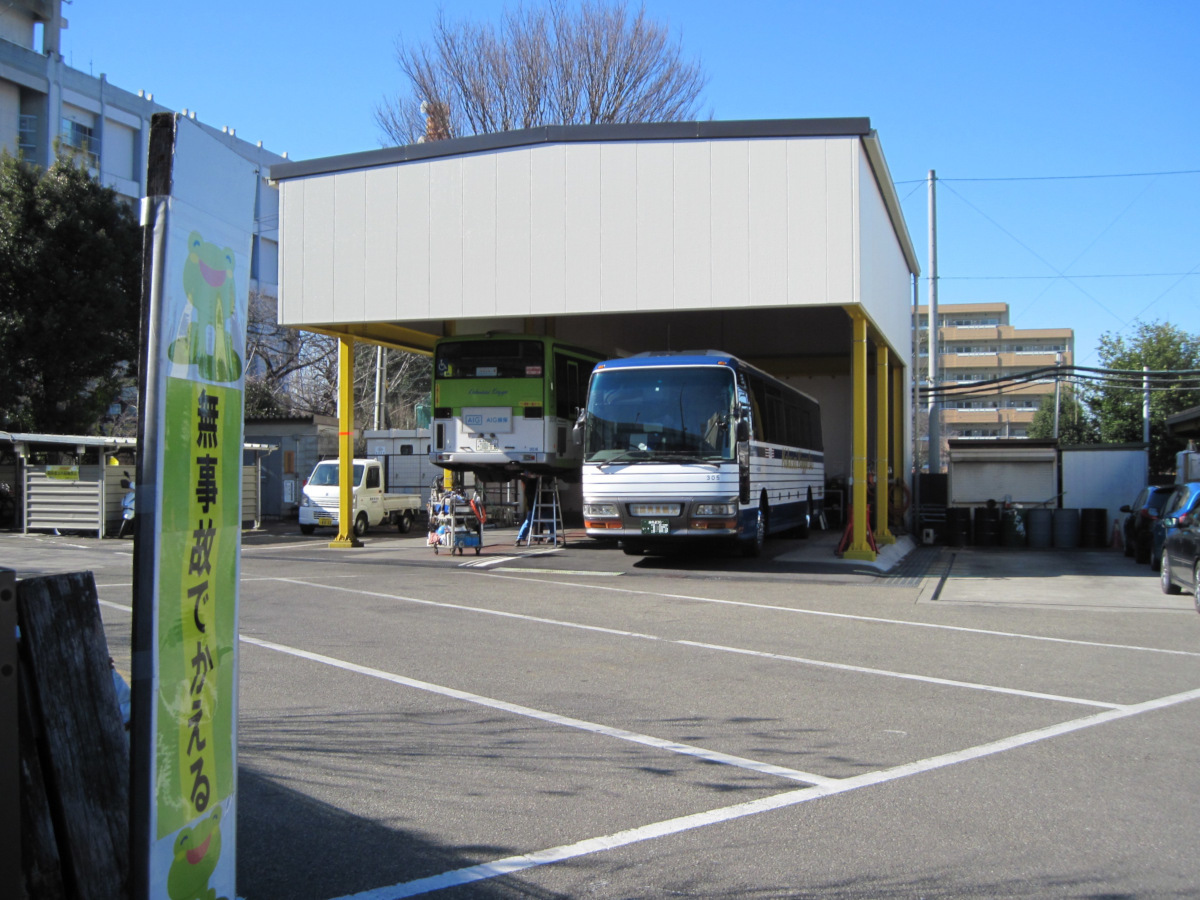
Kokusai Kogyo Bus Nerima Office
To the right of the road disaster prevention station is the Nerima office of Kokusai Kogyo Bus Co.
This is the first time I saw a bus being lifted by a hydraulic jack.
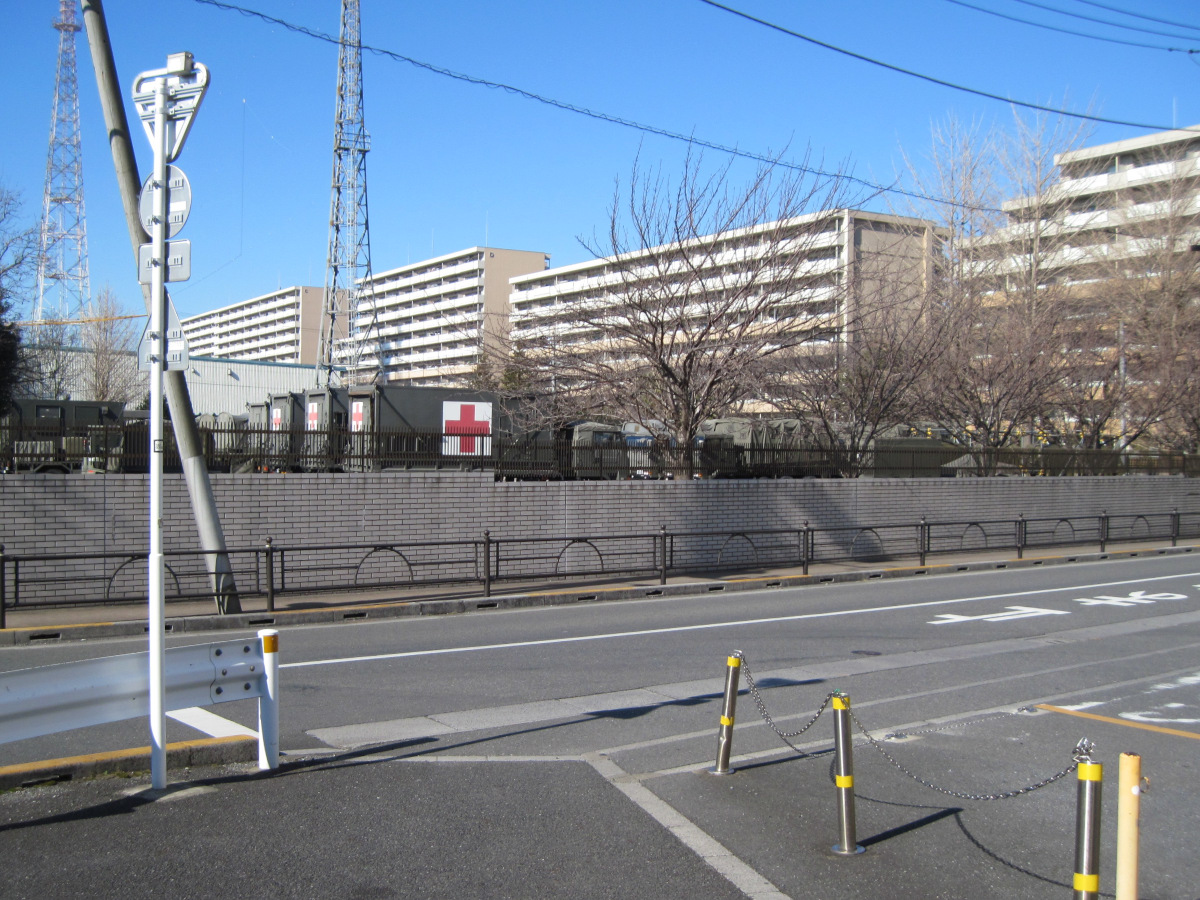
Ground Self-Defense Force Nerima Garrison
A number of vehicles with the red cross symbol appeared. This is the Nerima Garrison of the Japan Ground Self-Defense Force.
The garrison continues along Kanpachi and Route 254 for about 700 meters each.
The road disaster prevention station is located nearby, which may be one of the aspects that allow this GSDF to smoothly mobilize.

Nerima Garrison gate decorated with unit markings
Found the garrison gate! It was decorated with unit markings. Searching for abbreviations, you can see what units they consist of: RCN is a reconnaissance unit, NBC is a nuclear, biological, and chemical response unit, SIG is a communications department unit, and so on.
Golf driving range
This is my second day walking along the Kanpachi, and I often see net-enclosed facilities like batting centers and driving ranges. I think the reason why we did not see these facilities on the inner ring road is, again, the high cost of land.
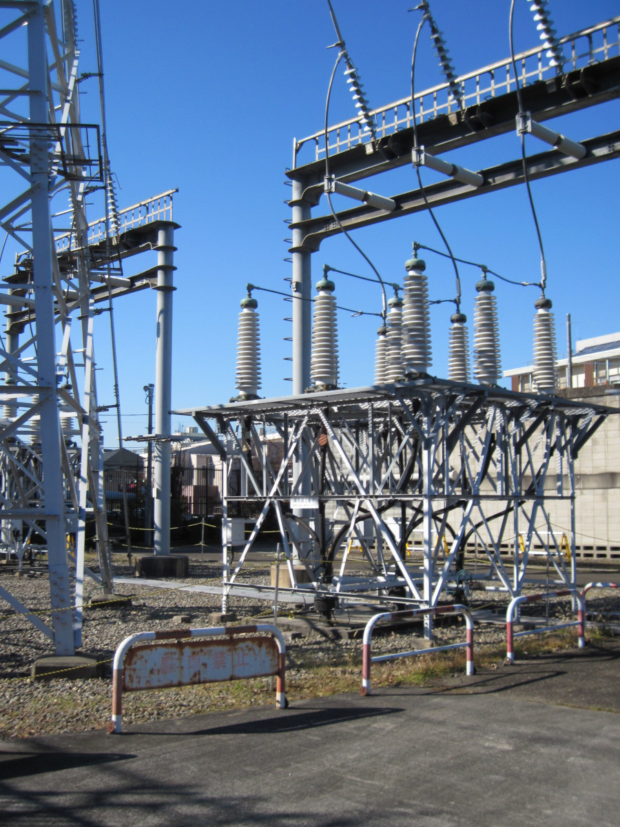
Tagara Substation, Tokyo Electric Power Co.
This is the Tagara substation of Tokyo Electric Power Company, pulling up 66kV from the ground. I always wonder why it is so quiet despite the immense power flowing through it.
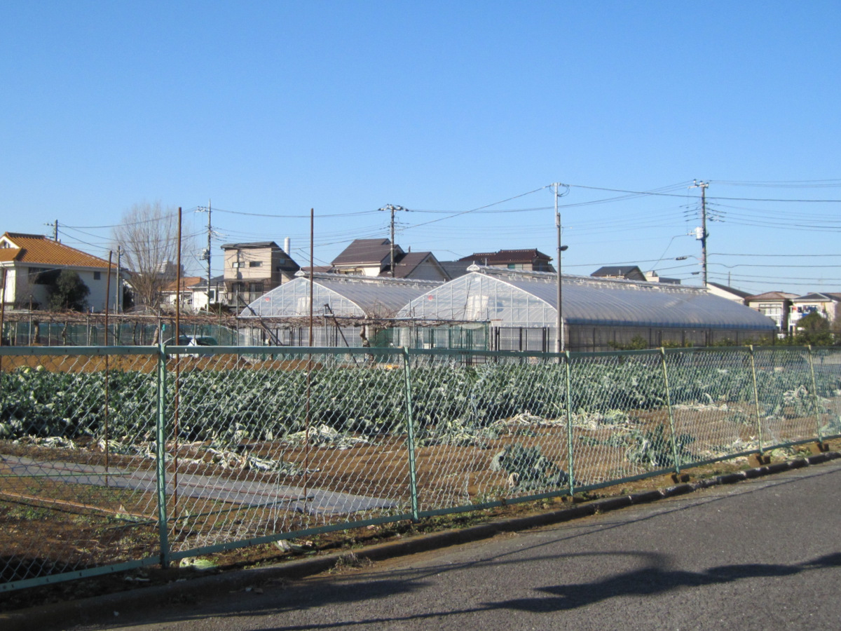
Large field
Is it Chinese cabbage that you are growing in your large field?
Fuji-Oyama Road signpost?
Fuji-Oyama Road signpost? appeared again.
The explanatory board mentioned the above-mentioned guideposts and the Daisen Road, but did not mention this group of stones themselves. Anyway, I could understand that there was a religious belief in Daisen.
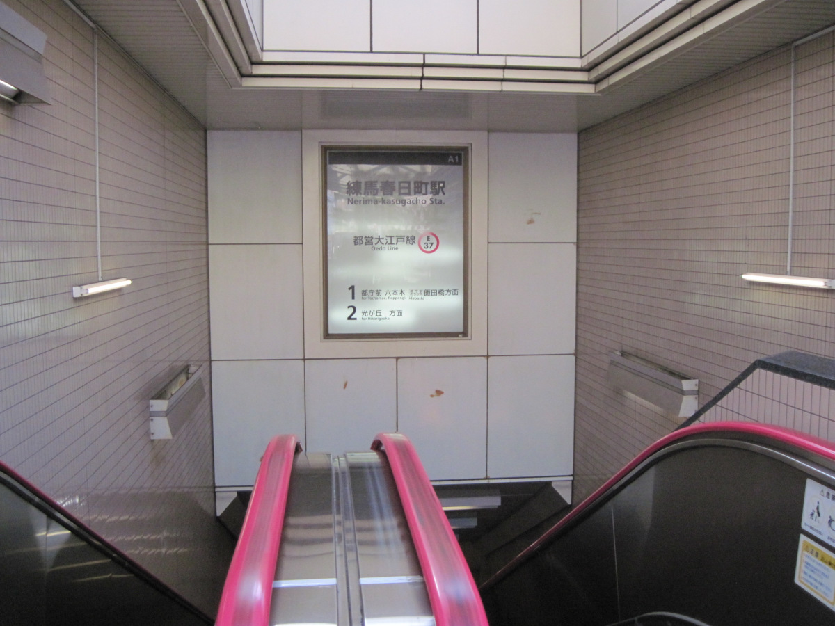
Nerima-Kasuga-cho station
The Nerima-Kasuga-cho station of the Oedo Line appeared at the Kasuga-cho police box intersection. It is about 2 km to the next station on the Seibu Ikebukuro Line. There were many ups and downs today, so I decided to end my walk here.
Walking data
Course: Shimura 3-chome Station on the Toei Subway Mita Line -> Kanpachi (Onarizuka Street – Kasuga Police Station) -> Nerima Kasuga-cho Station on the Toei Subway Oedo Line
Distance: 5.7 km
Time: 1h28m

