I walked all the way to MacArthur Road, which I hadn’t been able to walk the whole way. This road has only been open for about a year.
I also experienced a little bit of disaster prevention.
Kachidoki
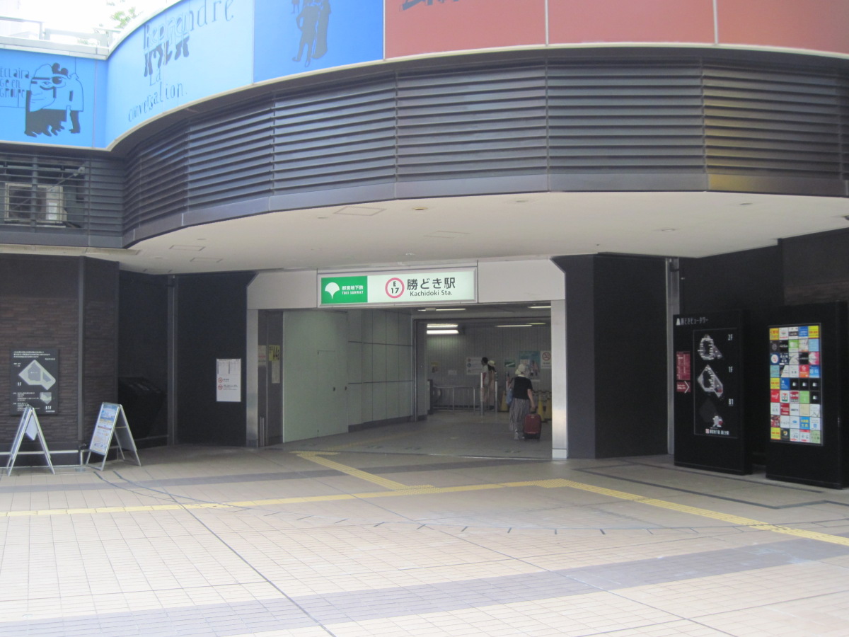
Kachidoki Station
I got off at Kachidoki station to continue walking from Tsukiji Bridge.
The entrance to the station has a round shape, which is very stylish.
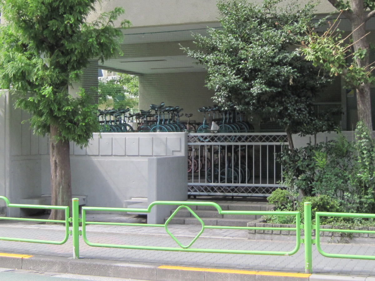
Unicycle at Tsukishima Daini Elementary School
Tsukishima Daini Elementary School had about as many unicycles as there were people in one classroom.
Can all elementary school students ride unicycles nowadays? I was surprised.
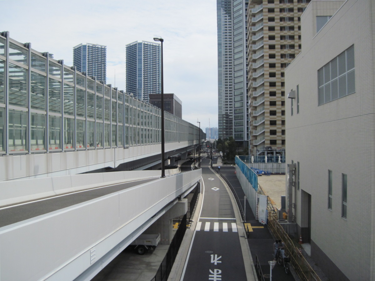
Today’s walking route as seen from Tsukiji Bridge
View of today’s walking route from Tsukiji Bridge.
It’s almost 3.6km of straight path from here.
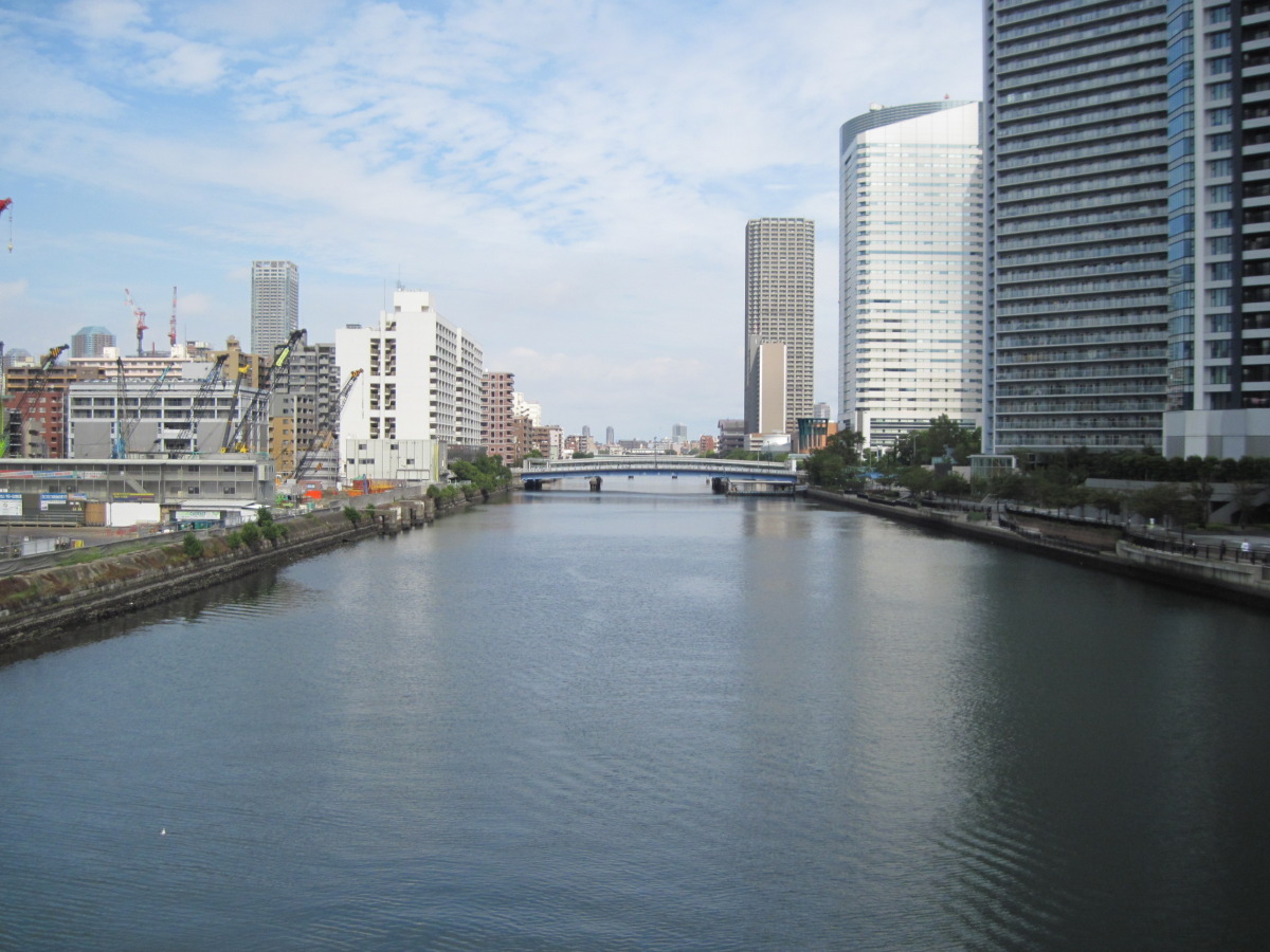
Asashio Canal
This is the Asashio Canal. This name reminds me of a sumo wrestler named Asashio (Taro). I guess it shows my age.
Over there is the Reimei Bridge, and where I am standing now is the Reimei Grand Bridge.
Harumi
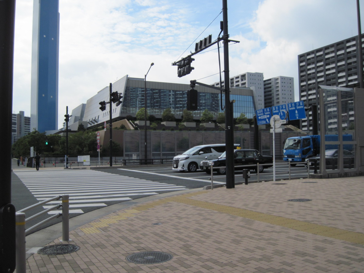
Central Cleaning Plant and Chimney
With the Tsukishima Police Station at my back, I looked at the Central Cleaning Plant and its triangular chimney. The chimney was too huge to be included in the photo.
Here’s the question. On what site was the Central Cleaning Plant built?
The hint is that although it is called Tsukishima Police Station, the address is Harumi.
Yes, that’s right, the Harumi Fairgrounds was there.
Today, huge exhibitions are held at Tokyo Big Sight or Makuhari Messe, but in the past, they used to be held here. There was no railroad nearby, so we came here by bus from Tokyo or Toyosu. I guess my age is showing.
I heard that there is a monument commemorating the Harumi Fairgrounds, so next time I’m passing by, I’ll take a look.
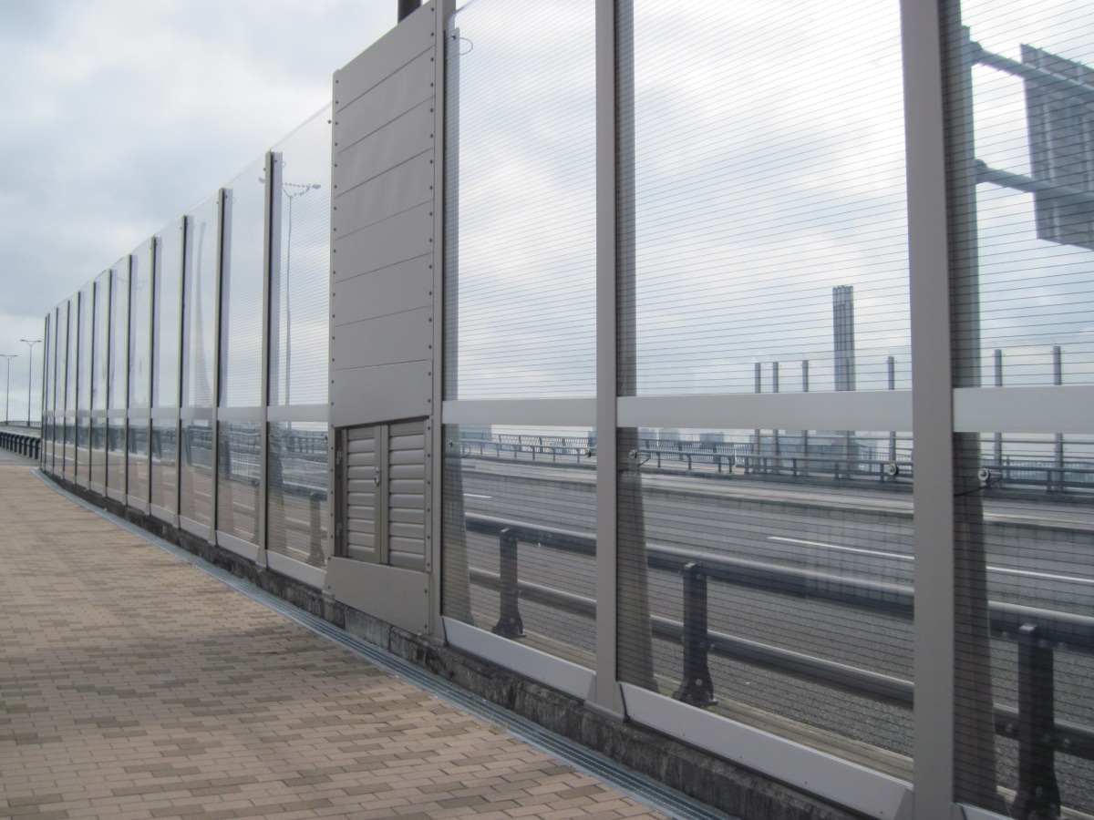
Transparent soundproof wall
This soundproof wall may look transparent and thin, but it is highly efficient.
I couldn’t hear anything even though a cab was driving right next to me.
I was wondering if cabs had recently become electric cars, but the next car also made no noise. The next car didn’t make any noise either, although I did hear a sports car drive by.
When a car runs, not only the sound of the engine, but also the sound between the road and the tires cannot be ignored. I’m sure the pavement is excellent.
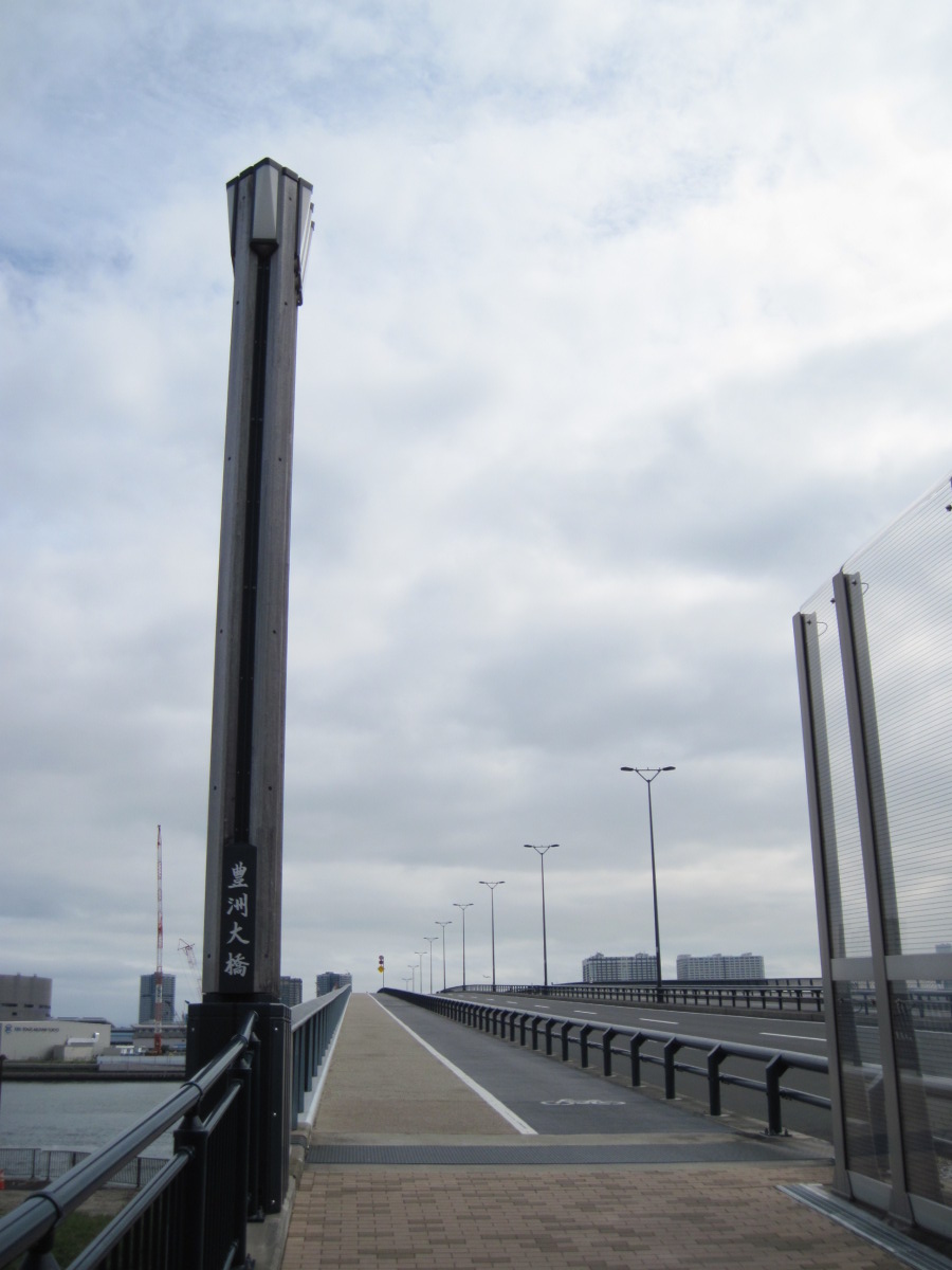
Toyosu Bridge
This is the Toyosu Bridge. It wasn’t too hot today, and there was a moderate breeze, so it was a nice day for a walk.
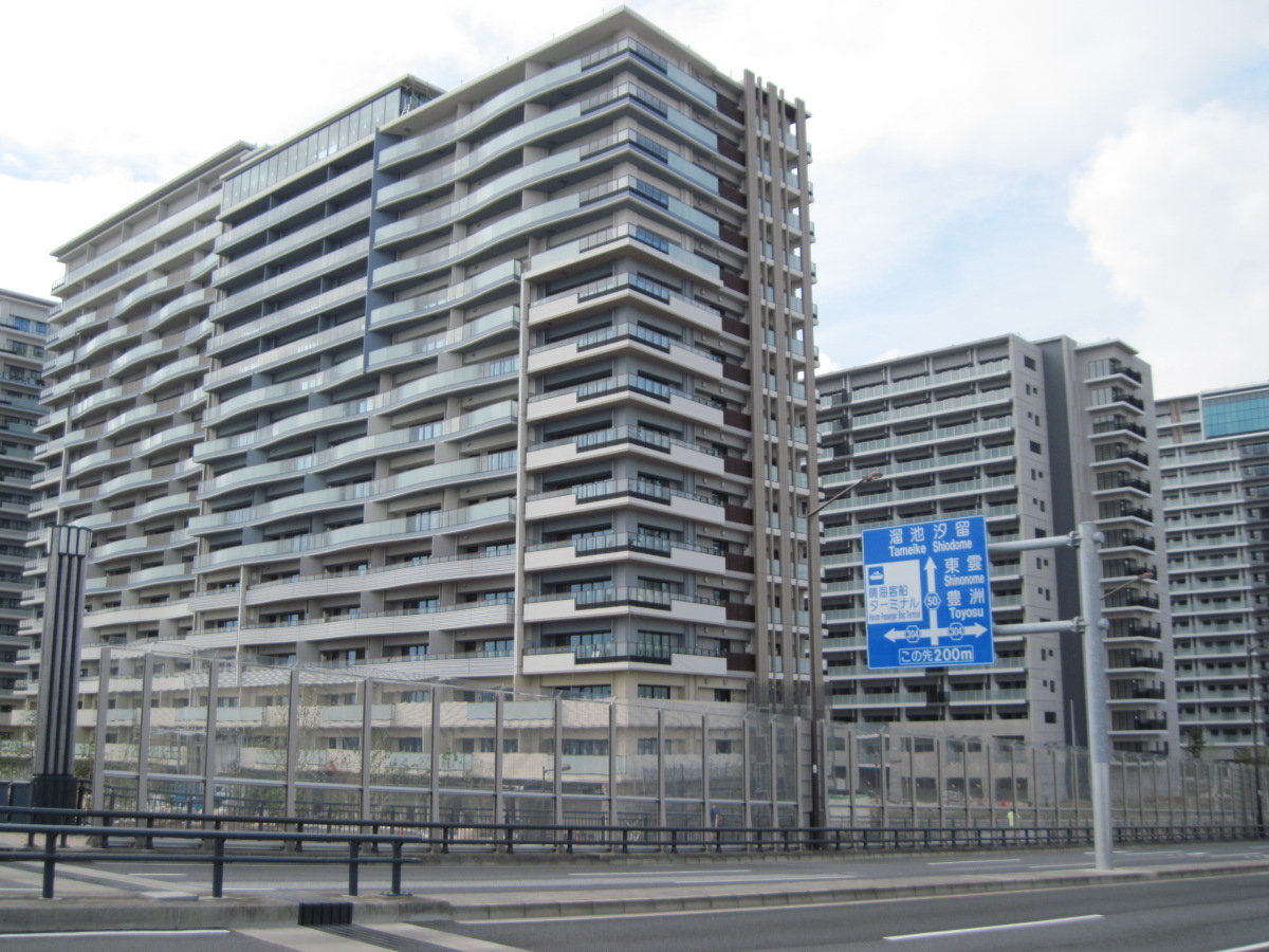
Olympic Athletes’ Village
The crane has been removed from the Olympic village, and it looks almost complete.
It’s nice and clean now, but I wonder what it will look like in another 50 years.
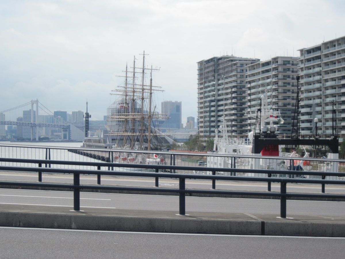
Nippon Maru
Found a sailing ship in the Harumi Canal!
It seems that both the Nippon Maru and the Kaiou Maru call at Tokyo, but it appears to be the Nippon Maru because the sheer line looks like one.
This may be the first time I have seen a sailing ship in action, although it was not under sail. I was very impressed.
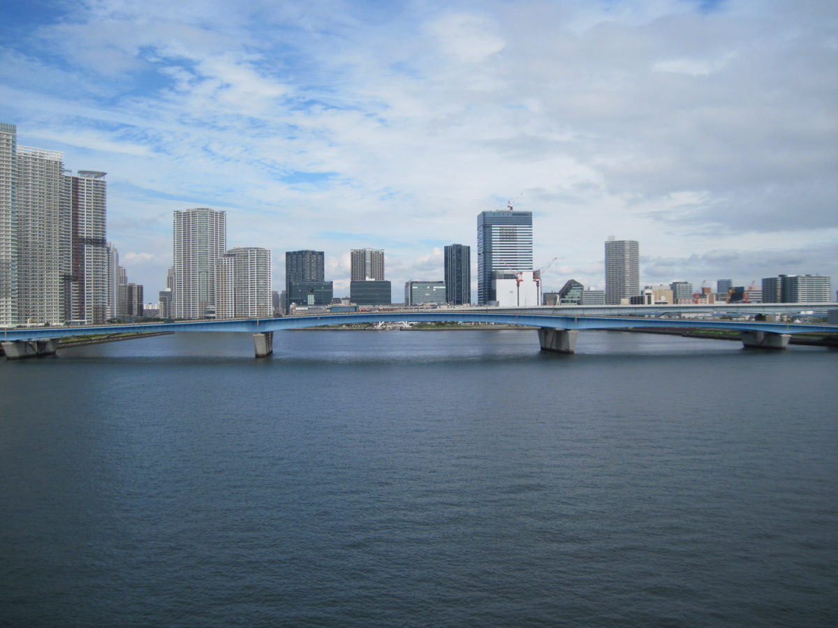
Harumi Bridge and Harumi Canal
This bridge is the Harumi Bridge, and below is the Harumi Canal.
When I come to a place like this, I feel soothed and I don’t have to dwell on small things.
Toyosu
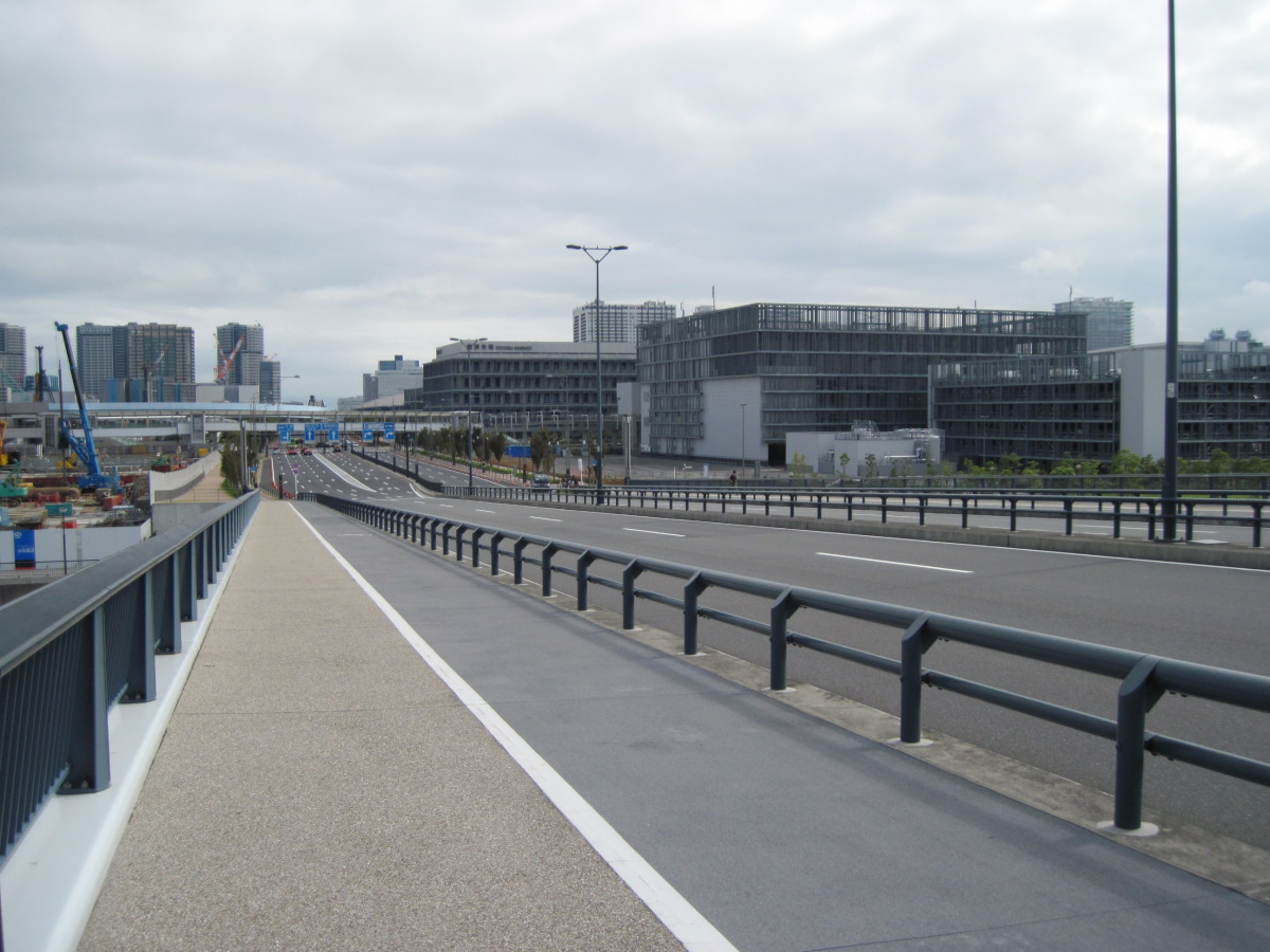
Toyosu Market
Down the Toyosu Bridge is the Toyosu Market, which started trading on October 11 last year. It’s been almost a year.
This road, now empty of cars, must be full of cars heading for the Toyosu market before dawn on weekdays.
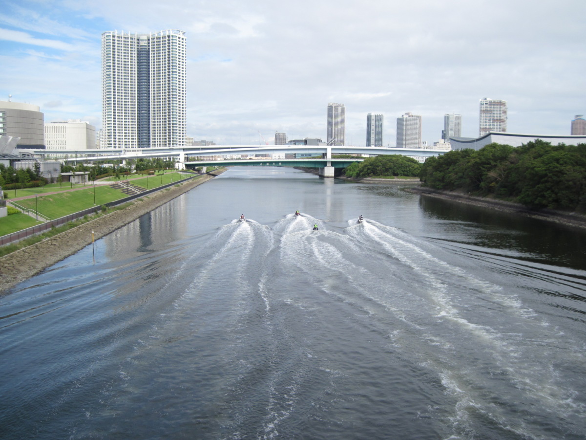
Motor Boat Vessel Marks
In the Shinonome Canal, motorboats left their boat marks as they wished.
Ariake
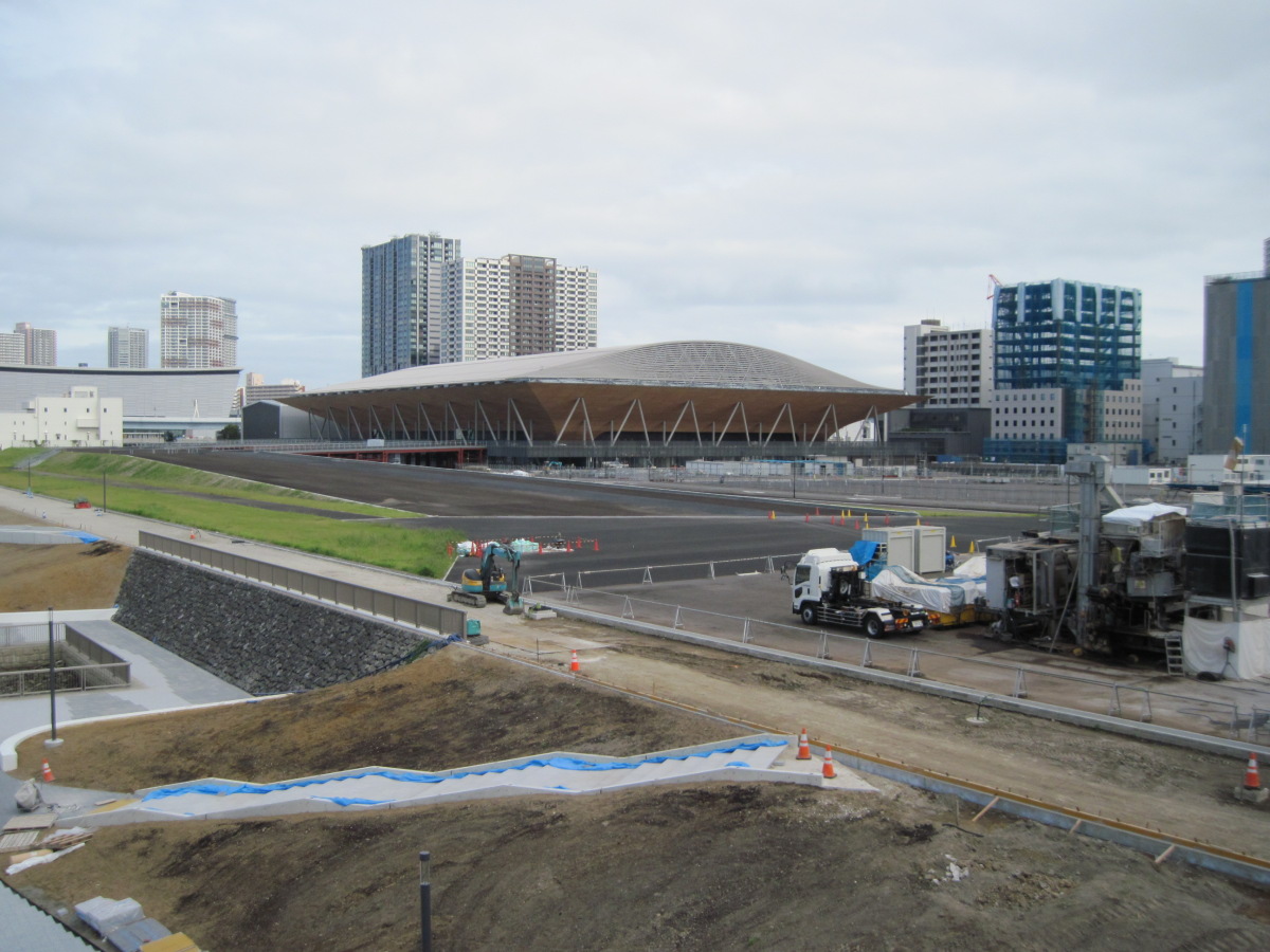
Building under construction
They seem to be building something big. What is it? I looked it up on the Internet, but I couldn’t understand it. Is it going to be a facility related to the Olympics?

Sona Area Tokyo
I found Sona Area Tokyo, a facility for experiencing and learning about disaster prevention!
With its tall antennae, it stands out from a distance.
When I entered, I found that the hands-on learning tour had just started, so I quickly borrowed a tablet terminal and joined the group.
The experience was based on the story of a major earthquake that occurred while we were riding in an elevator.
When you get out of the elevator, you see the devastation that you can’t even see.
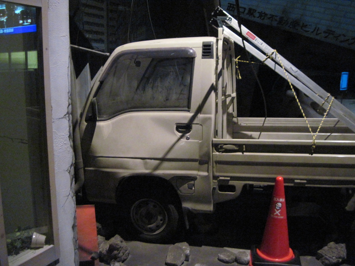
Experiential learning
We are free to take pictures as long as we don’t use strobe lights, so I will post one.
In this situation, we used the tablet to answer quizzes and learn how to deal with Augmented Reality (AR).
For me, there were times when I had trouble using the tablet, and I couldn’t get the hang of it. However, the people around me seemed to have a good sense of how to use them, or they had been here many times, and they seemed to be using them smoothly.
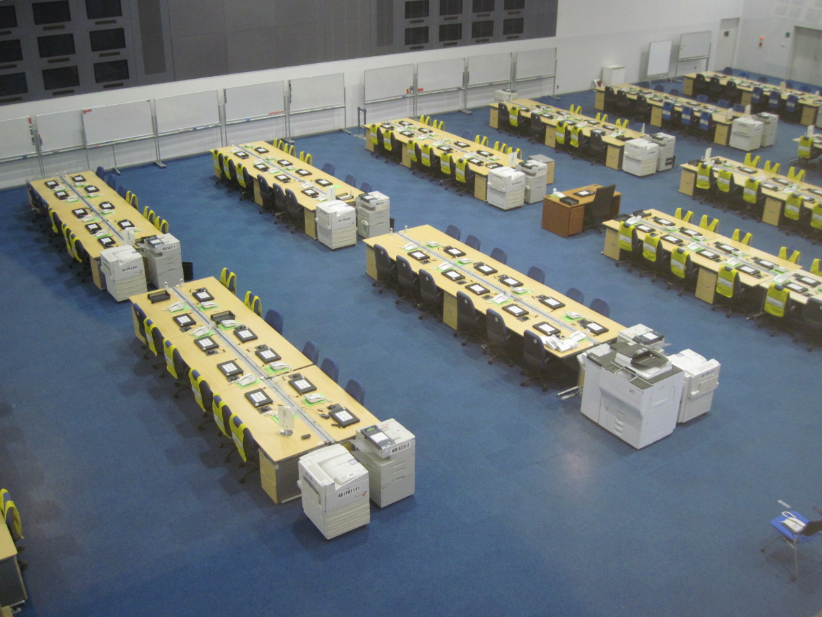
Operation Room
After completing the hands-on learning experience, you can also visit the operation room where the Emergency Disaster Control Headquarters is located in the event of a major disaster such as an earthquake directly under the Tokyo metropolitan area.
By the way, after an earthquake comes a tsunami, right? Is it safe to be on the beach like this?
Although I am a little worried, the area where the Yurikamome runs is at an elevation of about 6 meters, which is slightly higher than the surrounding area.
If you look at the digital elevation topographic map, you can see this clearly, so if you take a look at it and keep it in mind, you may be able to increase your chances of survival in case of emergency.
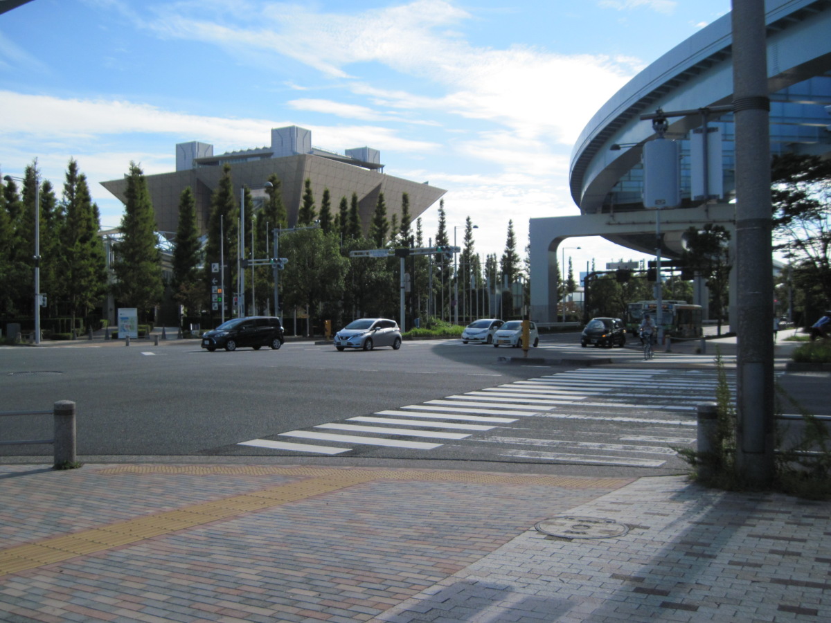
Intersection in front of Tokyo Big Sight
MacArthur Street starts and ends at the intersection in front of Tokyo Big Sight. Thank you for your time.
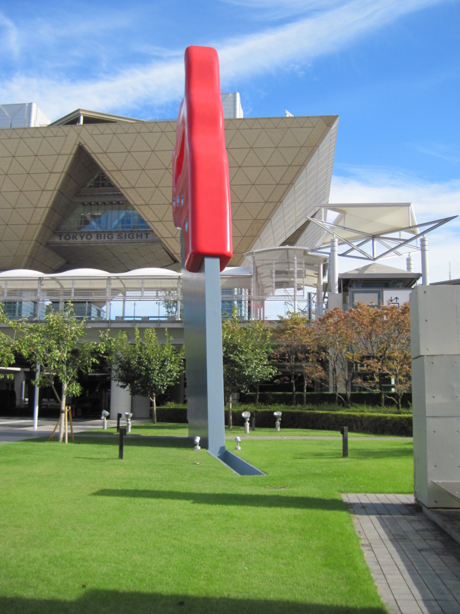
Saw, Sawing
On my way to Tokyo Big Sight, I passed by a saw. To my surprise, the ground had been cut with this saw. It seems to have been used by giants like the Daidaraboch.
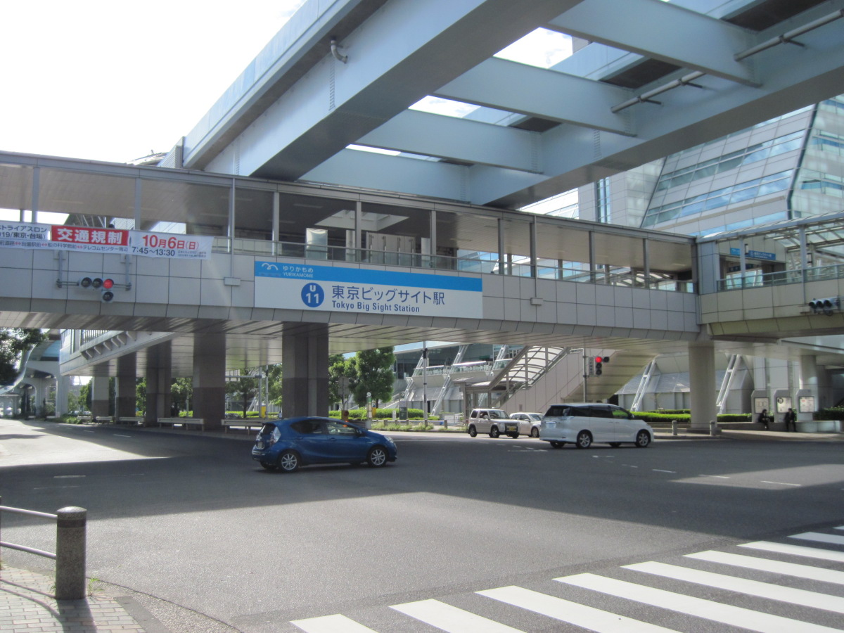
Tokyo Big Sight Station
I returned from Tokyo Big Sight Station.
Walking data
Course: Kachidoki Station (Toei Subway Oedo Line) -> Loop Route 2 MacArthur Road (Tsukiji Bridge – Tokyo Big Sight) -> Tokyo Waterfront New Transit Yurikamome Tokyo Big Sight Station
Distance: 6.1km
Time: 2h6m (including time to visit Sona Area Tokyo)

